The Wash
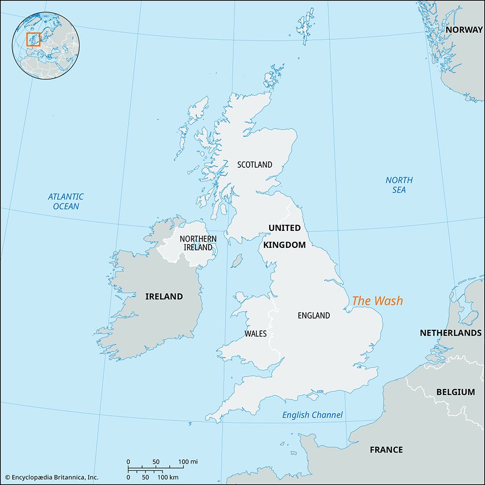
The Wash is a shallow bay of the North Sea located between the counties of Lincolnshire and Norfolk in England. Measuring approximately 15 miles (24 km) long…
What is The Wash?
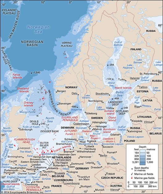
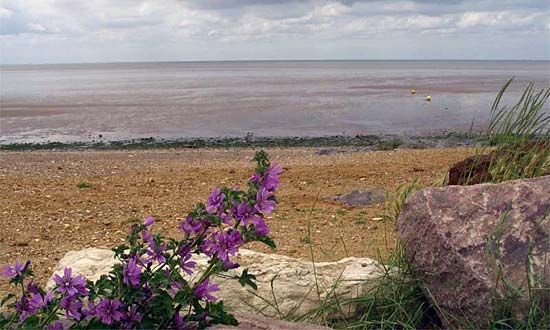
The Wash is a shallow bay of the North Sea located between the counties of Lincolnshire and Norfolk in England. Measuring approximately 15 miles (24 km) long and 12 miles (19 km) wide, it serves as the remnant of a much larger historical indentation that once extended as far inland as Cambridge and Peterborough.12
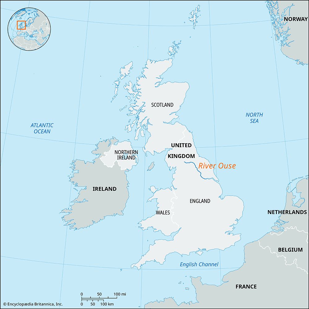
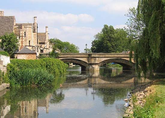
The bay has been significantly reshaped over time by the accumulation of silt deposited by rivers and coastal currents. Today, it receives the discharge of several rivers, including the Ouse, Welland, and Nene, which drain the surrounding flat countryside. At low tide, the water flows through shallow creeks between extensive banks of sand and mud. While much of the surrounding marshland, known as the Fens, has been reclaimed through artificial drainage and the construction of seawalls, the two main channels of The Wash—Boston and Lynn deeps—remain vital for providing anchorage for small trading vessels.321
How did the Fens change from marshland into farmland?
The transformation of the Fens from marshland into one of England’s most productive agricultural regions was a centuries-long process of engineering and land management. While the Romans cultivated parts of the area, it remained largely a thinly settled waste until the mid-17th century.3
The most significant shift began in 1630 when the 4th earl of Bedford commissioned the Dutch engineer Sir Cornelius Vermuyden to drain the southern peatlands, known as the Bedford Level. Vermuyden introduced advanced Dutch techniques, including the construction of large artificial channels like the Old and New Bedford Rivers to divert water.34
However, this drainage caused the underlying peat to shrink and the land surface to sink by as much as 12 feet (3.7 meters), making the area highly susceptible to flooding. To combat this, windmills were introduced to pump water, followed by steam-powered stations in the 19th century, and eventually modern diesel engines. Today, the region is a vital arable landscape, though it requires constant maintenance to protect the low-lying land from the surrounding river systems.34
What role did Dutch engineers play in draining the English landscape?
Dutch engineers, most notably Sir Cornelius Vermuyden, played a pivotal role in transforming the English landscape by introducing advanced land-reclamation methods developed in the Netherlands. During the 17th century, English landowners sought to reclaim vast tracts of marshy fenlands, borrowing the Dutch expertise in constructing extensive dikes and drainage systems to manage water levels.45
Vermuyden’s work was characterized by large-scale engineering projects, such as the drainage of Hatfield Chase and the Bedford Level. These efforts involved creating artificial channels to divert water, a process that was often controversial due to the displacement of local inhabitants and the reliance on Dutch labor.4
However, these techniques faced significant ecological challenges. The drainage of the Fens caused the underlying peat to shrink, leading to a dramatic lowering of the land surface. This unintended consequence made the reclaimed areas highly susceptible to flooding, a problem that persisted until the introduction of steam-powered pumps in the 19th century.4
Why is the peat in the Fens so important for environmental study?
The peat found in the Fens is of significant importance for environmental study primarily because it serves as a vital carbon sink, helping to mitigate the effects of global warming by sequestering carbon. As a wetland ecosystem, these peatlands provide essential services, including water filtration and flood risk reduction.6
From a scientific perspective, the remaining stretches of peat—such as those preserved in nature reserves like Wicken Fen—are invaluable for the study of rare plants and insects. These areas offer a rare glimpse into the region’s ecological state prior to the large-scale drainage projects of the 17th century. Furthermore, because peat forms in anaerobic conditions that limit the decomposition of organic matter, it acts as a historical record of environmental change. Protecting these ecosystems is considered a moral imperative in the 21st century, as land-use changes that damage peatlands release stored carbon, contributing to greenhouse gas emissions.736
Sources
- The Wash — Encyclopædia Britannica
- United Kingdom - Drainage — Encyclopædia Britannica
- Fens — Encyclopædia Britannica
- Sir Cornelius Vermuyden — Encyclopædia Britannica
- history of technology - Land reclamation — Encyclopædia Britannica
- Fen — Encyclopædia Britannica
- peat — Encyclopædia Britannica
Published on · 3 min read