Tsushima
Due to its strategic location in the Korea Strait between the Korean Peninsula and the Japanese archipelago, Tsushima served as a primary target during the…
What role did Tsushima play during the Mongol invasions of Japan?
Due to its strategic location in the Korea Strait between the Korean Peninsula and the Japanese archipelago, Tsushima served as a primary target during the Mongol invasions of Japan.
As the Mongol Empire under Kublai Khan launched its military expeditions in 1274 and 1281, the islands of Tsushima were directly in the path of the invading forces. During these attempts to conquer Japan, the local population of the archipelago suffered significantly, as historical records indicate that the inhabitants were massacred by the invading armies.1
While the subsequent defense of the Japanese mainland—centered on Kyushu and the construction of fortifications around Hakata Bay—ultimately repelled the Mongols with the aid of typhoons, the initial assaults on Tsushima marked the brutal beginning of these conflicts.12
Where is the Tsushima archipelago located, and what are its main islands?
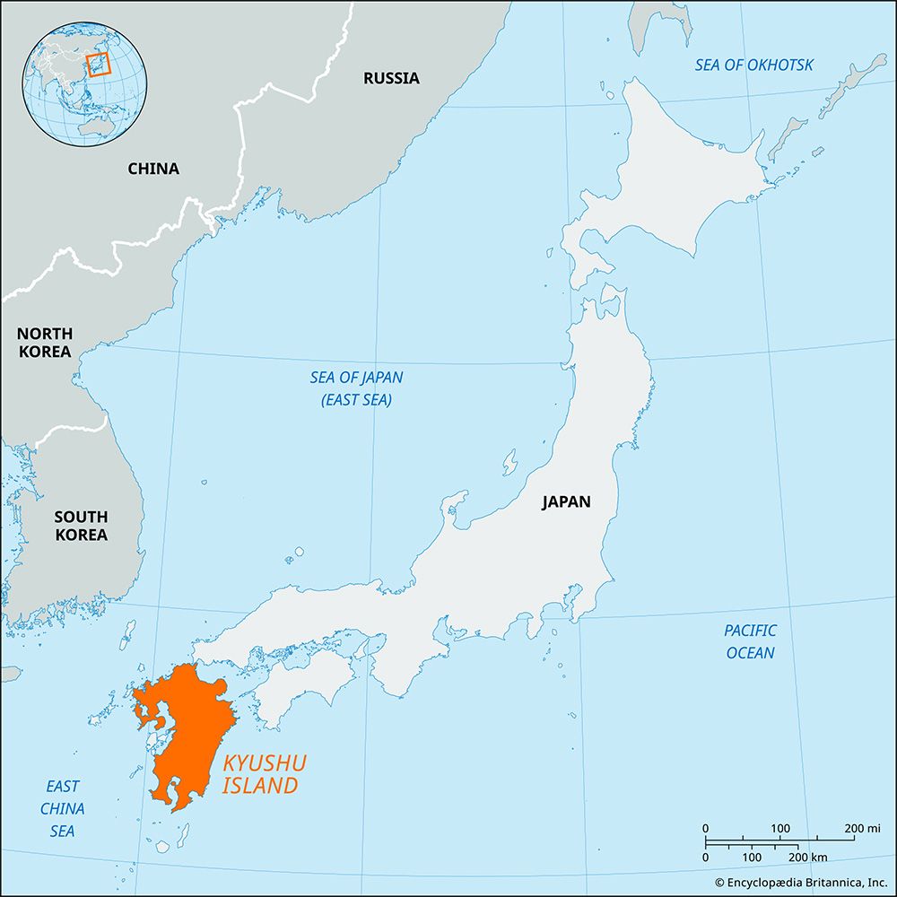
The Tsushima archipelago is located in the Korea Strait, situated off the northwestern coast of Nagasaki Prefecture, Japan. The islands serve as a geographic divider, separating the Korea Strait into the Tsushima Strait to the west and the Korea Strait to the east.
The archipelago is composed primarily of two rocky, heavily forested islands:
- Kami: The northern island, covering an area of 98 square miles (255 square km).
- Shimo: The southern island, which is larger, covering 174 square miles (450 square km).
These two islands are separated by a narrow channel. Administratively, the archipelago is part of the Iki-Tsushima Quasi-National Park, with key towns including Izuhara and Kechi on Shimo, and Hitakasu on Kami.1
How does the unique geography of Tsushima affect its climate and ecosystem?
The geography of the Tsushima archipelago significantly influences its environment through its position in the Korea Strait and its rugged terrain. The islands are characterized by a rocky, mountainous landscape that is heavily forested, which supports a local economy centered on lumbering.1
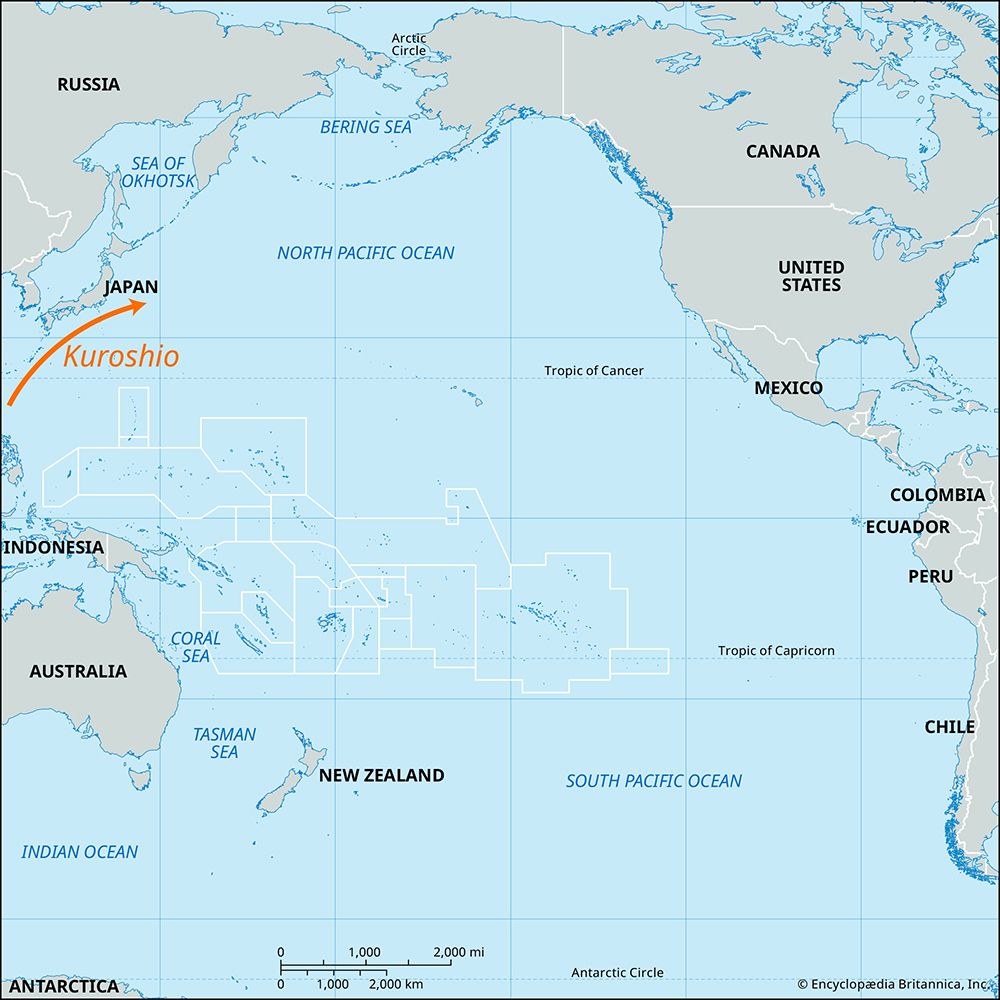
The climate is heavily moderated by the surrounding marine environment, specifically the Tsushima Current. This warm, northeastward-flowing branch of the Kuroshio enters the Korea Strait and plays a vital role in the regional climate by transporting moisture and warmth. As part of the broader Japanese climate system, the islands are subject to monsoonal winds; the interaction between these winds and the mountainous relief of the islands helps dictate local weather patterns, including precipitation levels.45
While the islands provide limited agricultural land for crops like buckwheat and soybeans, their dense forests remain a defining feature of the ecosystem. The archipelago’s unique position as a bridge between the Asian landmass and the Japanese islands continues to be a focal point for its ecological and geographical study within the Iki-Tsushima Quasi-National Park.1
What are the main economic activities on Tsushima, and how have they changed over time?
The economic activities of the Tsushima archipelago have long been shaped by its rugged, mountainous terrain and its strategic location between Japan and Korea.
Primary Economic Activities
Because the islands are heavily forested, lumbering remains a cornerstone of the local economy. Agricultural production is limited by the landscape, but the islands produce:
- Shiitake mushrooms
- Millet
- Soybeans
- Buckwheat
Historical Context and Evolution
The economic and social character of the islands has shifted significantly over time:
- Early History: The archipelago served primarily as a transit point between Korea and Japan. During this period, the economy was frequently disrupted by piracy, and the population faced severe instability, including massacres during the 13th-century Mongol invasions.
- Feudal Era (12th Century–1868): The islands were governed as a fief by the Sō daimyo family. During this time, the economy was tied to the family’s role in managing diplomatic and trade relations between Japan and Korea.
- Modern Era: Today, the islands are integrated into the Iki-Tsushima Quasi-National Park, shifting the focus toward administrative and regional management centered in towns like Izuhara, Kechi, and Hitakasu.1
(Note: Information regarding Tokushima prefecture was excluded as it is a distinct location from the Tsushima archipelago.)6
Sources
- Tsushima — Encyclopædia Britannica
- Japan - The Mongol invasions — Encyclopædia Britannica
- Tsushima — Merriam-Webster
- Tsushima Current — Encyclopædia Britannica
- Japan - Climate — Encyclopædia Britannica
- Tokushima — Encyclopædia Britannica
Published on · 3 min read