Tumen River
The Tumen River is located in East Asia, where it serves as the northeastern frontier for North Korea. It forms a natural border between North Korea and…
Where is the Tumen River located, and which countries does it border?
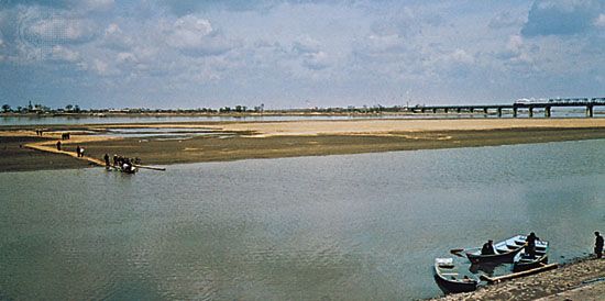
The Tumen River is located in East Asia, where it serves as the northeastern frontier for North Korea. It forms a natural border between North Korea and China to the north and west, and between North Korea and Russia to the northeast.1
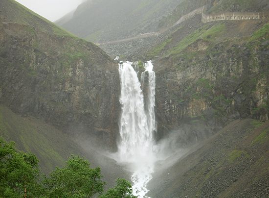
Originating on Mount Paektu in the Changbai Mountains, the river flows for 324 miles (521 km) before emptying into the Sea of Japan.1
What is the historical significance of the Tumen River in East Asian geopolitics?
The Tumen River holds historical significance as a critical geopolitical boundary in East Asia, serving as the northeastern frontier that separates North Korea from China and Russia.12
Beyond its role as a natural border, the river basin is historically and economically important due to its rich mineral deposits. The region surrounding the river contains significant resources, including iron near Musan and brown coal in the middle course near Chongsŏng, Onsŏng, and Aoji. The downstream area, near the river’s mouth, is recognized as one of the country’s most vital districts for mineral resources. Furthermore, the area near the river’s mouth at Sŏnbong (Unggi) has served as a strategic link, connecting the region to Russia via railway.1
How long is the Tumen River, and what are its major tributaries?
The Tumen River has a total length of 324 miles (521 km), making it the third longest river in Korea.1
Regarding its tributaries, the river is characterized by a series of short tributaries that flow through narrow, mountainous, and heavily forested gorges as the river makes its way toward the Sea of Japan.1
What is the significance of Mount Paektu?
Mount Paektu is a landmark of significant geographical and symbolic importance in East Asia. Rising to an elevation of 9,022 feet (2,750 meters), it is the highest mountain on the Korean peninsula and serves as the topographic anchor for the Changbai Mountains along the border between North Korea and China.31
The mountain is an extinct volcano distinguished by a large crater lake at its summit, known as Tian Lake (or Ch’ŏn Lake). This lake is historically significant as the source of both the Tumen River and the Yalu River, which define much of the northern boundary of the Korean peninsula. Geologically, the mountain has played a transformative role in the region; for instance, volcanic activity at Mount Paektu during the Quaternary Period is believed to have altered regional river systems, including the drainage patterns of tributaries connected to the Sungari River.341
Sources
- Tumen River — Encyclopædia Britannica
- Tumen — Merriam-Webster
- North Korea - Relief — Encyclopædia Britannica
- Yalu River — Encyclopædia Britannica
Published on · 2 min read