Taedong River
The Taedong River is a major waterway in southern North Korea. It originates in the Nangnim Mountains and flows 273 miles (439 km) southwest, eventually…
What is Taedong River?
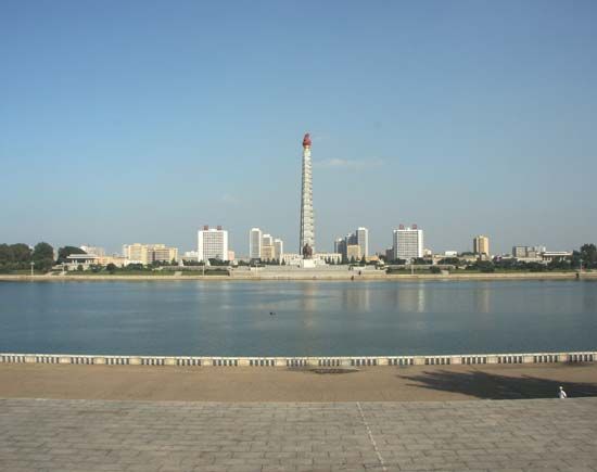
The Taedong River is a major waterway in southern North Korea. It originates in the Nangnim Mountains and flows 273 miles (439 km) southwest, eventually emptying into the Korea Bay, an arm of the Yellow Sea, at Namp’o.1
The river is vital for regional infrastructure and agriculture. Due to its depth and the tidal influence of the Yellow Sea, it serves as an important route for water transportation, supporting several river ports, including the capital city of P’yŏngyang. It is navigable for ships of up to 4,000 tons as far as Songnim, while upstream sections are extensively utilized for irrigation. The river and its tributaries encompass a drainage basin covering 7,855 square miles (20,344 square km).1
What is the historical significance of Pyongyang?
Pyongyang, the capital of North Korea, is widely considered the oldest city in Korea. Its historical significance is defined by its role as a political, religious, and industrial center across millennia.3
Ancient and Medieval History
Legend traces the city’s origins to 1122 BCE, and it served as the capital of the legendary Dangun dynasty. Historically, it became a strategic site in 108 BCE with the establishment of a Chinese trading colony. By 427 CE, it was the capital of the Goguryeo kingdom, and it later served as a secondary capital during the Goryeo dynasty (918–1392).3
Modern Era and Conflict
In the 19th century, Pyongyang became a major hub for Christianity in Asia, hosting more Protestant missionaries than any other city in the region. However, the city suffered immense destruction during the Sino-Japanese War and the Korean War. Following the latter, it was rebuilt with Soviet and Chinese assistance, emerging as the country’s primary industrial and transportation center.34
How does the Yellow Sea influence the geography of North Korea?
The Yellow Sea significantly shapes the geography and economy of western North Korea through its influence on drainage, coastal development, and maritime activity.
Drainage and Agriculture
The western portion of North Korea is defined by a network of rivers that drain into the Yellow Sea, specifically via Korea Bay. Major waterways, including the Yalu, Ch’ŏngch’ŏn, and Taedong rivers, flow southwestward into this basin. These rivers have created relatively large valley plains that serve as the country’s primary agricultural regions, characterized by rich alluvial soils that contrast with the less fertile, weathered soils found in the highlands.81
Coastal Features and Navigation
The Yellow Sea’s interaction with the North Korean coastline is marked by unique hydrological conditions:
- Tidal Influence: The region experiences an unusually high tidal range, which can reach 20 to 40 feet in Korea Bay. This tidal activity, combined with deep water in certain river mouths, facilitates water transportation.89
- Ports: The sea provides access for maritime trade, with Namp’o serving as a critical port city and the outport for the capital, P’yŏngyang.10
- Geology: The coastline is dotted with rocky islands, such as Ch’o, Sŏk, and Sinmi, and features extensive sandbars formed by the sediment-rich waters of the sea.8
Economic Impact
Beyond agriculture and transport, the Yellow Sea is a vital resource for fishing and has been a site for oil exploration. However, the region’s environmental and economic potential is often complicated by regional political tensions, which have historically hindered the sharing of scientific data regarding the sea’s marine environment and fish stocks.10
What are some other major rivers in the Korean Peninsula?
Beyond the rivers previously discussed, the Korean Peninsula features several other significant waterways that are vital to its geography, agriculture, and industry.
Major Rivers of the Peninsula
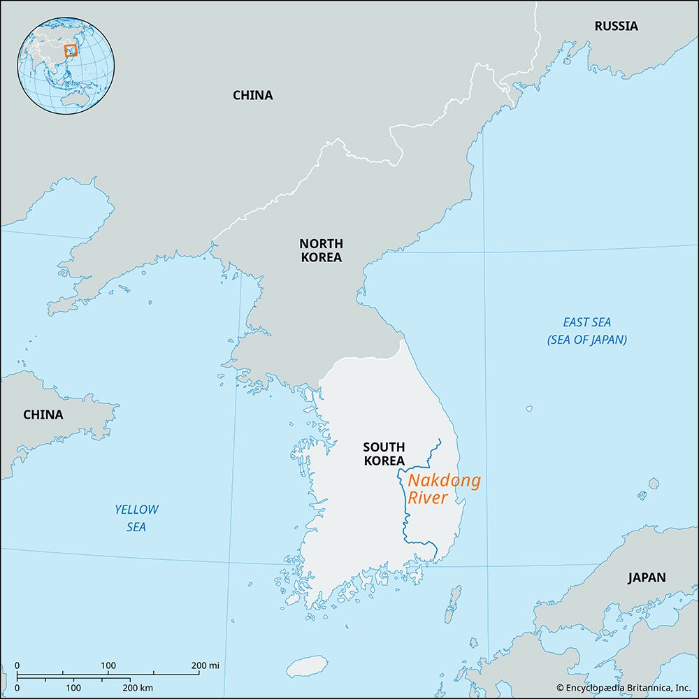
- Nakdong River: As the second-longest river on the peninsula (325 miles/523 km), it flows southward from the Taebaek Mountains to the Korea Strait at Busan. It is a critical water source for southeastern South Korea and supports extensive agricultural activity in its fertile delta plain.1112
- Han River: Rising in the western slopes of the Taebaek Mountains, this 319-mile (514-km) river flows westward through Seoul to the Yellow Sea. It has served as a major transportation route since ancient times and is now essential for industrial water supply and hydroelectric power generation.13
- Tumen River: Originating on Mount Paektu, this 324-mile (521-km) river forms the northeastern border between North Korea, China, and Russia. It flows into the Sea of Japan and is notable for the mineral-rich districts along its course.1014
- Yalu River: Known as the Amnok in Korean, it is the longest river in North Korea. It also rises on Mount Paektu and flows southwest for approximately 500 miles (800 km) into Korea Bay.14
Sources
- Taedong River — Encyclopædia Britannica
- Taedong — Merriam-Webster
- North Korea: Country Facts — Encyclopædia Britannica
- Pyongyang — Encyclopædia Britannica
- Korea - UN intervention — Encyclopædia Britannica
- Korea - Chinese intervention — Encyclopædia Britannica
- Joseon dynasty — Encyclopædia Britannica
- Korea Bay — Encyclopædia Britannica
- Yellow Sea — Encyclopædia Britannica
- North Korea - Drainage and soils — Encyclopædia Britannica
- Tumen River — Encyclopædia Britannica
- Nakdong River — Encyclopædia Britannica
- Han River — Encyclopædia Britannica
- South Korea - Drainage — Encyclopædia Britannica
Published on · 3 min read