Grijalva River
The Grijalva River, located in southeastern Mexico, holds significant historical importance for both indigenous populations and early Spanish explorers.
What is the historical significance of the Grijalva River for the indigenous people and early Spanish explorers?
The Grijalva River, located in southeastern Mexico, holds significant historical importance for both indigenous populations and early Spanish explorers.
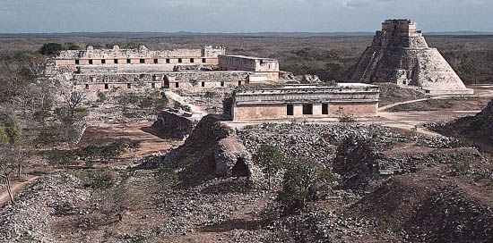
For indigenous peoples, the river and the surrounding Tabasco Plain were central to regional development. The area was part of the trading network of the Olmec civilization between 1100 and 800 BCE, and its fertile, alluvial soil later supported Maya settlements. Today, the region remains home to descendants of the Chontal Maya.
For Spanish explorers, the river served as a gateway to the Mexican interior. It was discovered in 1518 by Juan de Grijalva, who was sent by the governor of Cuba to explore the Yucatán Peninsula. Grijalva’s mapping of the region and his discovery of the existence of the Aztec empire provided the critical intelligence that paved the way for the subsequent expedition of Hernán Cortés and the eventual conquest of Mexico.123
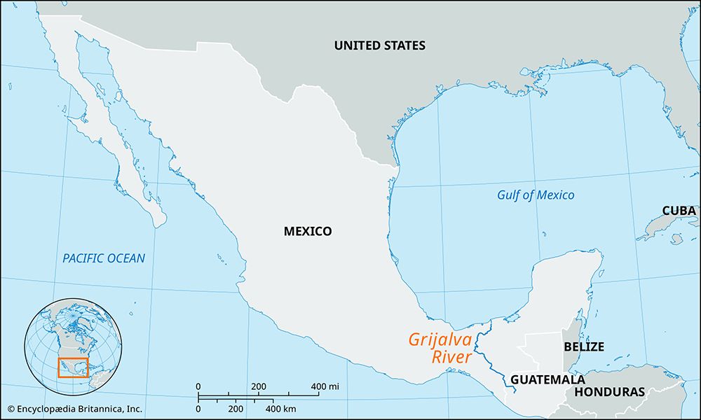
Where is the Grijalva River located in Mexico, and what regions does it flow through?
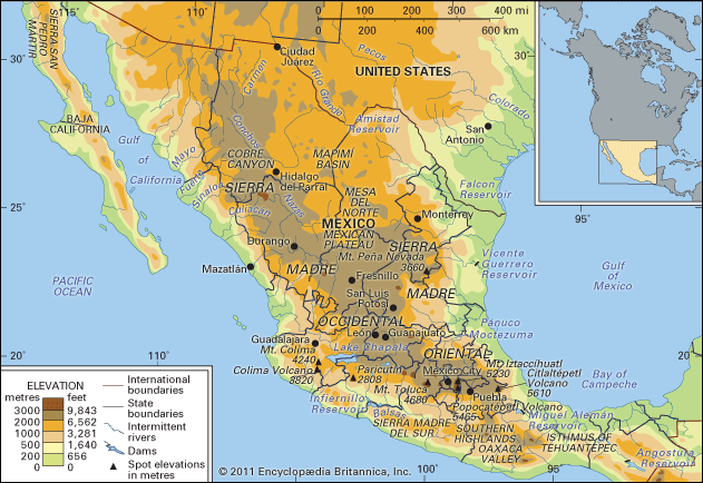
The Grijalva River is located in southeastern Mexico. Its headstreams, including the Cuilco, originate in the Sierra Madre of Guatemala and the Sierra de Soconusco of Mexico.1
The river flows through the following regions:
- Chiapas: It flows northwestward through the state of Chiapas, where it is locally referred to as the Río Grande de Chiapa or the Río Chiapa.1
- Chiapas-Tabasco Border: After passing through the Malpaso Dam, it turns north and east, roughly paralleling the border between Chiapas and Tabasco.1
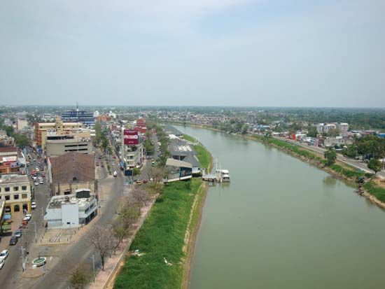
- Tabasco: The river veers northward at Villahermosa, the capital of Tabasco, where it joins the Usumacinta River before emptying into the Gulf of Mexico and the Bay of Campeche.15
Spanning approximately 400 miles (640 km), the river serves as a vital waterway in the region.1
How does the Grijalva River impact agriculture and local communities along its course?
The Grijalva River plays a vital role in the agricultural and economic life of southeastern Mexico, serving as both a source of sustenance and a driver of regional development.
Agricultural Impact
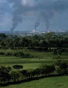
The river’s drainage of the central valley of Chiapas and the floodplains of Tabasco provides essential fertile, alluvial soil that supports a diverse range of crops.16
- Crop Production: The central valley floor supports the cultivation of corn (maize), bananas, and coffee, while higher elevations in the region produce wheat. In the state of Tabasco, the river’s floodplains facilitate the growth of cacao, sugarcane, tropical fruits, and copra.16
- Livestock: The landscape surrounding the river also supports cattle grazing, particularly in the higher zones of the northeastern mountains.16
Impact on Local Communities
The Grijalva River is deeply integrated into the infrastructure and daily lives of local populations:
- Energy and Industry: The river is a major source of hydroelectric power, exemplified by the Chicoasén project, which provides significant energy for the region.1
- Transportation: The river acts as a major avenue of transportation, with stretches of its course navigable by shallow-draft vessels, facilitating communication and trade for the communities along its banks.76
- Population Centers: The river supports major population centers, such as Tuxtla and Villahermosa, which serve as hubs for regional administration and commerce.16
How does the Grijalva River contribute to Mexico’s hydroelectric power generation?
The Grijalva River is a significant contributor to Mexico’s hydroelectric power generation, which currently accounts for approximately one-sixth of the country’s total electric power needs.9
While early hydroelectric projects in Mexico were primarily located near major population clusters on the streams of the Mesa Central, advancements in transmission technology allowed for the development of complexes in more remote areas. A primary example of this is the Malpaso Project, situated on the Grijalva River along the margins of the Chiapas Highlands.9
The Grijalva and Usumacinta River systems are vital to the nation’s water resources, collectively accounting for about two-fifths of the total volume of Mexico’s rivers. By harnessing the flow of these major waterways, the country has been able to utilize renewable energy to supplement its power grid, which remains heavily reliant on thermal power plants fueled by oil and natural gas.19
Sources
- Grijalva River — Encyclopædia Britannica
- Juan de Grijalba — Encyclopædia Britannica
- Tabasco Plain — Encyclopædia Britannica
- Gila River — Encyclopædia Britannica
- Usumacinta River — Encyclopædia Britannica
- Mexico - Drainage of Mexico — Encyclopædia Britannica
- Chiapas Highlands — Encyclopædia Britannica
- Tabasco — Encyclopædia Britannica
- Mexico - Resources and power — Encyclopædia Britannica
Published on · 3 min read