Wharfedale
Wharfedale refers to two distinct things: a geographic valley and a type of printing press.
What is Wharfedale?
Wharfedale refers to two distinct things: a geographic valley and a type of printing press.
Geographic Valley
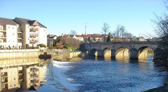
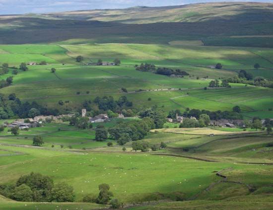
Wharfedale is the upper valley of the River Wharfe located within the Pennine uplands of England. It spans across the historic county of Yorkshire, descending from North Yorkshire into West Yorkshire. The upper portion of the valley is situated within the Yorkshire Dales National Park and is known for its scenic beauty, dairy farming, and historical sites like the 12th-century Bolton Priory.1
Printing Press
In a technical context, a Wharfedale is a type of stop-cylinder printing press. The term is derived from the Yorkshire district where these presses were originally manufactured.2
What is the Yorkshire Dales National Park?
The Yorkshire Dales National Park is a protected area located within the Pennines, the major upland “backbone” of northern England. The park encompasses a landscape defined by its distinctive limestone geology, gritstone-capped summits, and deep, scenic valleys known as “dales”.34
Key features of the park include:
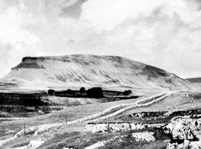
- Geography: The area is characterized by high moorlands and valleys carved by rivers, such as the River Wharfe in Wharfedale and the River Ure in Wensleydale. Notable peaks within or near the park include Ingleborough, Pen-y-Ghent, and Whernside, all of which exceed 2,000 feet in elevation.4563
- Geology: The region is famous for its limestone scenery, which includes remarkable underground caverns, chasms, and waterfalls.36
- Economy and Culture: The park is predominantly rural, with an economy historically rooted in sheep grazing, dairy farming, and limestone quarrying. Today, tourism is a vital component of the local economy, supported by the area’s picturesque stone-built villages and historic sites, such as Bolton Priory.3465
How was the River Wharfe formed?
The River Wharfe was formed through the geological and environmental processes that shaped the Pennines, the major upland “backbone” of northern England.
The landscape of the region, including the deep, troughlike valley of Wharfedale through which the river flows, is the result of complex geological structures and glacial action. The Pennines are composed primarily of Carboniferous limestone and Millstone Grit. Over time, these geological formations, combined with the erosive power of water and the movement of glaciers, carved the valleys—often called dales—that determine the courses of the region’s rivers. In the limestone areas specifically, water action has further developed the landscape by creating underground watercourses, caverns, and chasms, which contribute to the unique drainage patterns of the area.831
What is the history of Bolton Priory?
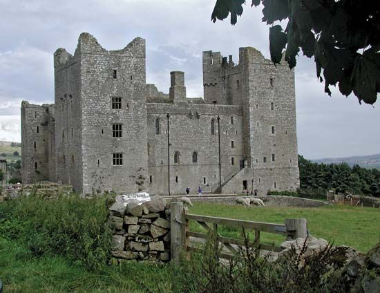
Bolton Priory is an Augustinian monastery located in Wharfedale, a scenic valley within the Yorkshire Dales National Park. Founded in 1155, the priory stands as a significant historical landmark along the course of the River Wharfe in the historic county of Yorkshire, England.1
Sources
- Wharfedale — Encyclopædia Britannica
- Wharfedale — Merriam-Webster
- Pennines — Encyclopædia Britannica
- Craven — Encyclopædia Britannica
- Yorkshire — Encyclopædia Britannica
- Peak District — Encyclopædia Britannica
- Wensleydale — Encyclopædia Britannica
- River Wharfe — Encyclopædia Britannica
- Pennine Chain — Merriam-Webster
Published on · 2 min read