Yarkon River
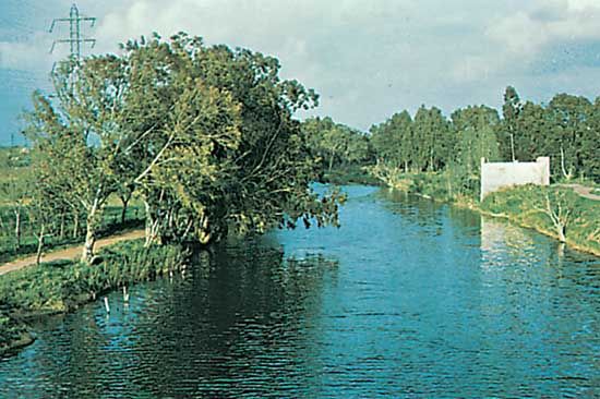
The Yarkon River has played a pivotal role in the development of west-central Israel, serving as both a geographic boundary and a catalyst for urban and…
What is the historical significance of the Yarqon River in the development of the region?
The Yarkon River has played a pivotal role in the development of west-central Israel, serving as both a geographic boundary and a catalyst for urban and agricultural growth. Historically, the river basin was the center of early 20th-century Jewish agricultural settlements, including Petah Tikva, Bnei Brak, and Ramat Gan, which eventually evolved into major cities.1
During World War I, the river was the site of significant British military victories over the Ottoman Empire. Later, in 1936, a shallow-draft port was established at the river’s mouth in Tel Aviv to bypass the strike of Arab port workers in Jaffa the strike of Arab port workers in Jaffa.1
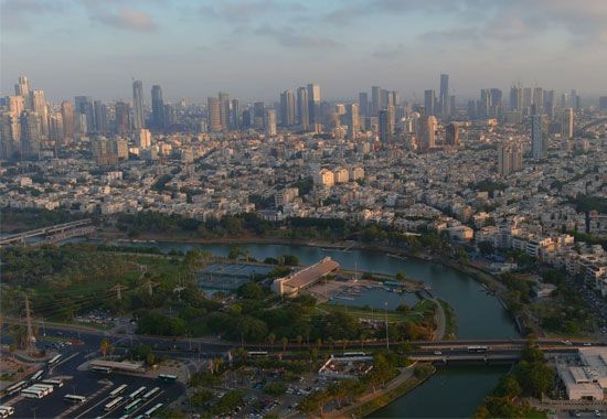
In modern urban planning, the river serves as a defining social and landscape feature of Tel Aviv, marking the boundary between the city’s central area and its northern districts, which contain some of the city’s wealthiest neighborhoods. While the river suffered from severe pollution in the late 20th century, ongoing rehabilitation efforts since the 1990s have aimed to restore its role as a recreational space.23
What role does the Yarqon River play in Israel’s water management and irrigation systems?
The Yarkon River is a critical component of Israel’s hydraulic infrastructure, though its role has shifted significantly over time due to intensive water management. Historically, the river served as a vital water source for early agricultural settlements in the region.1
However, since the implementation of the Yarkon-Negev Project—a major element of the National Water Plan initiated in 1955—the river’s natural flow has been substantially altered. This project diverts water from the Yarkon to support irrigation and water needs in the arid southern regions of the country. As a result of this diversion, the river’s water levels have decreased significantly, and it has faced challenges related to pollution.14
In the broader context of Israel’s water management, the country faces a chronic water shortage, leading to the full utilization of its hydraulic resources. Approximately three-fourths of these resources are dedicated to irrigation, with the remainder allocated for industrial and household use.2
How has the Yarqon River been used for recreational purposes throughout history?
The Yarkon River has served as a significant recreational space for the residents of the region, though its accessibility has fluctuated due to environmental changes. Until the 1950s, the river was a popular destination for boaters who enjoyed the stream in its natural state.1
However, the construction and expansion of the Yarkon-Negev Project as part of the National Water Plan in 1955 led to a significant decline in water levels and an increase in pollution. During the latter half of the 20th century, the river suffered from severe contamination caused by sewage and industrial waste, which largely curtailed its use for recreation.12
Since the 1990s, extensive rehabilitation efforts have been underway to clean the river and restore its ecological health. These projects aim to revitalize the riverbanks as a recreational area, successfully drawing visitors back to the waterfront as part of the city’s ongoing urban development.2
What is the length of the Yarqon River, and how does it compare to other rivers in Israel?
The Yarkon River flows for approximately 16 miles (26 km) from its source in springs near Rosh Ha-Ayin to the Mediterranean Sea in northern Tel Aviv-Yafo. It is recognized as the principal perennial stream flowing almost entirely within Israel.1
In comparison, other rivers in Israel include:
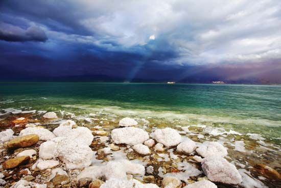
- Jordan River: A much larger system that spans more than 223 miles (360 km) in length, though its direct distance from source to the Dead Sea is less than 124 miles (200 km) due to its meandering course. It serves as a major drainage system for the country.56
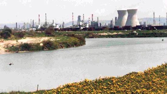
- Qishon River: This river runs through the western part of the Plain of Esdraelon and drains into the Mediterranean at Haifa.6
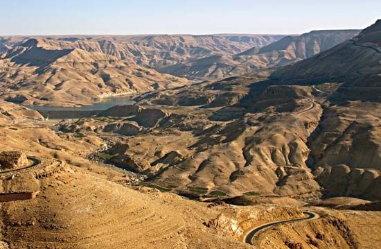
- Yarmuk River: A tributary of the Jordan that flows along the Syria-Jordan border, with only a small section located within Israel.6
Most other streams in Israel are ephemeral, meaning they flow only seasonally as wadis.6
Sources
- Yarkon River — Encyclopædia Britannica
- Tel Aviv–Yafo - City site — Encyclopædia Britannica
- Tel Aviv–Yafo - People of Tel Aviv–Yafo — Encyclopædia Britannica
- Israel - Drainage — Encyclopædia Britannica
- Israel - Relief — Encyclopædia Britannica
- Jordan River — Encyclopædia Britannica
Published on · 3 min read