Yazoo River
The Yazoo River is approximately 190 miles (306 km) long. It is formed by the confluence of the Tallahatchie and Yalobusha rivers and flows south and…
How long is the Yazoo River, and how does its size compare to other rivers in Mississippi?
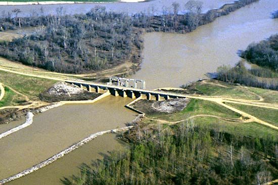
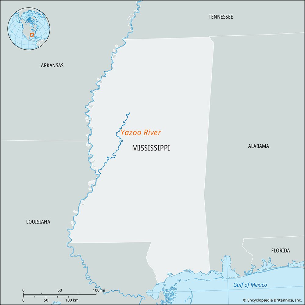
The Yazoo River is approximately 190 miles (306 km) long. It is formed by the confluence of the Tallahatchie and Yalobusha rivers and flows south and southwest until it joins the Mississippi River at Vicksburg.1
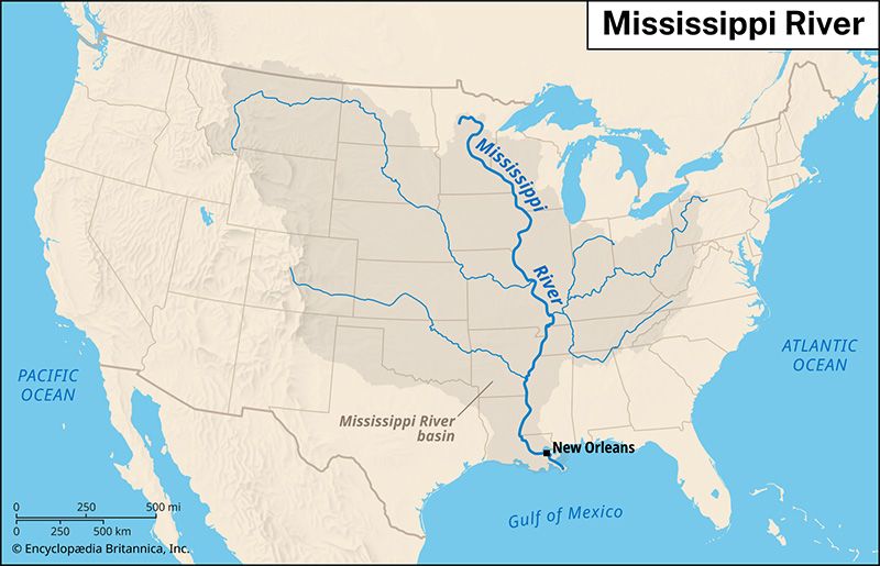
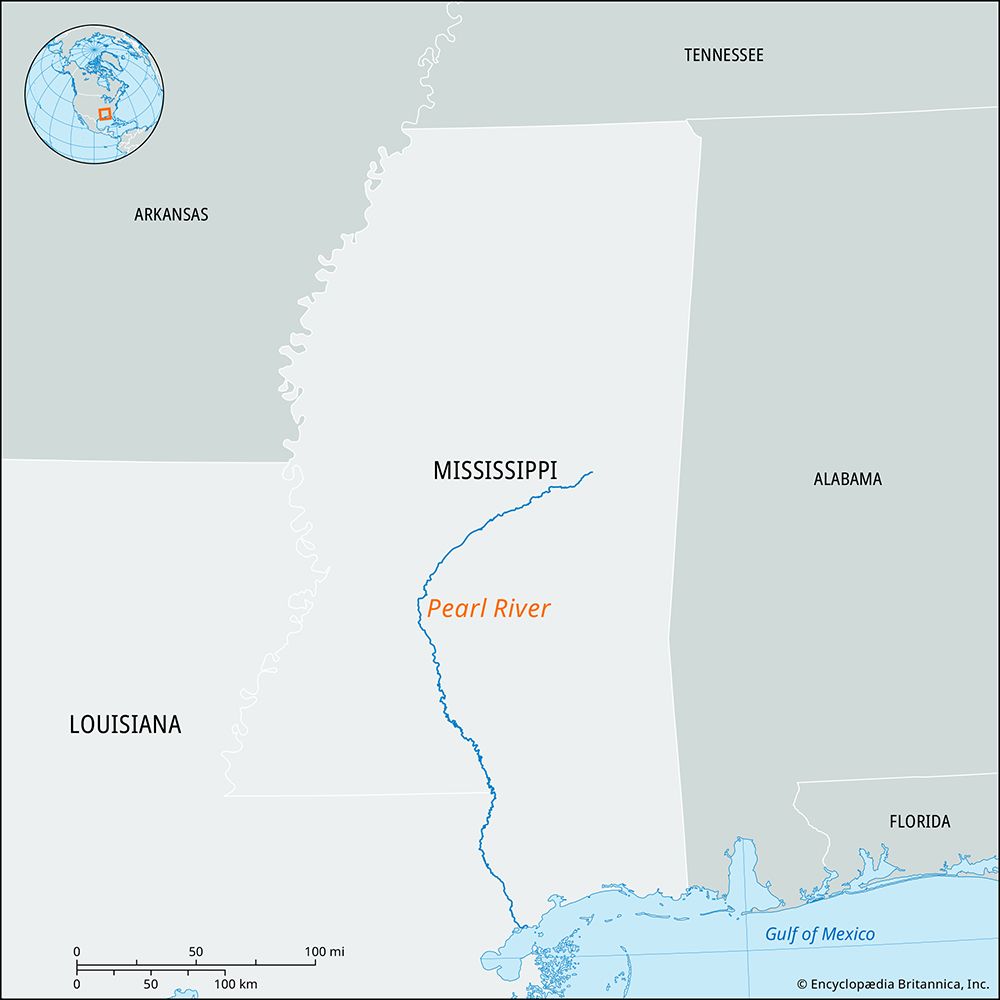
Regarding its size in comparison to other rivers in Mississippi, the Yazoo is categorized as a principal tributary of the Mississippi River system within the state. While the provided search results do not offer a comprehensive ranking of all rivers in Mississippi by length or discharge, they identify the Yazoo alongside the Big Black River, the Pearl River, and the Pascagoula River as significant drainage networks in the region. The Mississippi River itself is significantly larger, serving as the primary artery for the state’s drainage and spanning 2,340 miles (3,766 km) in total length.23
Are there any major cities or towns located along the Yazoo River?
Several cities and towns are situated along the Yazoo River, which serves as a vital waterway in west-central Mississippi. The two primary urban centers located along its course are:
- Greenwood: Located near the river’s headwaters, where the Tallahatchie and Yalobusha rivers converge to form the Yazoo.1
- Yazoo City: Serving as the seat of Yazoo County, this city lies directly along the river and has historically functioned as an important agricultural-trade center for timber, cotton, and catfish farming.15
Additionally, the river terminates at Vicksburg, where it joins the Mississippi River. The region surrounding these towns, often referred to as the Mississippi Delta or the Yazoo Basin, is well-known for its rich agricultural history and its cultural significance as a birthplace of blues music.1
How was the Yazoo River formed, and what is its geological history?
The Yazoo River is formed by the confluence of the Tallahatchie and Yalobusha rivers, which unite north of Greenwood, Mississippi.16
Geologically, the river is a defining feature of the Mississippi Delta—also known as the Yazoo Basin—a vast floodplain created by the Mississippi River system. The landscape of this region is largely the product of the river’s own constructive work, characterized by the deposition of sediment and debris over time. The Yazoo flows through this basin with a very slight gradient, paralleling the Mississippi River for much of its course before joining it at Vicksburg course before joining it at Vicksburg.17
While the broader Mississippi drainage area has been shaped by complex geological forces—including Cretaceous Period rock beds, Carboniferous Period limestone, and the movement of glacial meltwaters—the Yazoo specifically functions as a major drainage network within the alluvial plain of the lower Mississippi. The basin’s modern physical character has been significantly influenced by human intervention, particularly the construction of a levee system completed in 1886 to manage flooding.71
What are the main tributaries of the Yazoo River?
The Yazoo River is primarily formed by the confluence of two major rivers:
- Tallahatchie River: One of the two main headwater streams that join north of Greenwood to create the Yazoo.1
- Yalobusha River: The other primary headwater stream that converges with the Tallahatchie.1
Additionally, the name “Yazoo” is also applied to a tributary that flows parallel to the main river for a distance before eventually joining it further downstream.1
Sources
- Yazoo River — Encyclopædia Britannica
- Mississippi: Top Questions — Encyclopædia Britannica
- Mississippi River — Encyclopædia Britannica
- Yazoo — Merriam-Webster
- Yazoo City — Encyclopædia Britannica
- river - Deltas and time — Encyclopædia Britannica
- Mississippi River - Physiography — Encyclopædia Britannica
- Yalobusha River — Encyclopædia Britannica
Published on · 2 min read