Yongding River
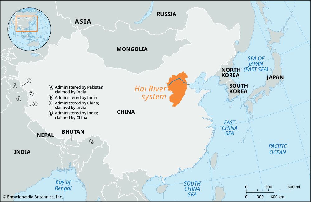
The Yongding River is a significant waterway in northeastern China, approximately 300 miles (500 km) long. It originates beyond the Great Wall in Hebei…
What is Yongding River?
The Yongding River is a significant waterway in northeastern China, approximately 300 miles (500 km) long. It originates beyond the Great Wall in Hebei province, flows southeast through Beijing, and continues into Tianjin, where it serves as the principal tributary of the Hai River system before emptying into the Bo Hai.12
Historically known as the Wuding He (“River with No Fixed Course”) due to its frequent flooding and shifting channels, it was renamed Yongding He (“River with a Permanently Fixed Course”) in the late 17th century following extensive flood-control efforts. The river carries a heavy silt load, which historically caused its bed to rise above the surrounding land, posing a significant flood hazard. In the early 1950s, the Guanting Reservoir and dam were constructed to manage these flows for hydroelectric power, irrigation, and flood control.23
Why was the Yongding River originally called the River with No Fixed Course?
The Yongding River was originally known as the Wuding He, or “River with No Fixed Course,” because it was prone to constant flooding and frequently shifted its channel across the landscape.1
This instability was primarily caused by the river’s enormous silt load, which would clog its channel as quickly as it could be cleared. As the river deposited this sediment, its bed would often rise above the level of the surrounding land, creating a significant flood hazard for the region. The river was eventually renamed the Yongding He, meaning “River with a Permanently Fixed Course,” toward the end of the 17th century following the implementation of extensive flood-control works.1
What is the purpose of the Guanting Reservoir?
The Guanting Reservoir, created by the construction of the Guanting Dam in the early 1950s, serves as a critical multi-purpose water management project in northern China. Its primary functions include:
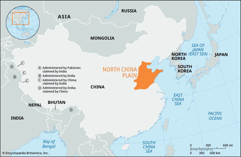
- Flood Control: By damming the Yongding River in the mountains northwest of Beijing, the reservoir helps regulate the river’s flow, mitigating the severe flooding that historically plagued the North China Plain.4
- Hydroelectric Generation: The project is designed to harness the river’s energy to produce electricity, supporting regional power needs.4
- Irrigation: The reservoir provides a stable water supply to support agricultural activities in the surrounding areas, helping to manage the region’s seasonal variations in precipitation.4
These efforts are part of a broader, comprehensive water-control and conservancy strategy within the Hai River basin, which integrates dam construction with soil conservation, afforestation, and field-terracing programs to improve land productivity and water security.4
How do dams and flood-control projects help manage rivers in China?
Dams and flood-control projects are essential components of China’s strategy to manage its major river systems, which have historically been prone to devastating floods due to seasonal precipitation and heavy silt loads. These projects generally employ a multi-faceted approach to water management:672
- Flow Regulation and Flood Control: By constructing dams and reservoirs, authorities can impound water during periods of high flow and release it gradually, preventing the catastrophic flooding that has historically plagued regions like the North China Plain.672
- Integrated Infrastructure: Modern efforts often combine dam construction with the reinforcement of levees, the creation of overflow channels, and the conversion of river segments into canals to better direct water flow and reduce pressure on riverbanks.687
- Resource Utilization: Many of these structures are designed as multi-purpose projects that provide hydroelectric power and supply water for irrigation, supporting both regional energy needs and agricultural productivity.687
- Environmental and Soil Conservation: To address the root causes of siltation, these engineering works are frequently coordinated with reforestation, soil conservation, and field-terracing programs in upland areas to reduce erosion.67
While these projects have significantly reduced flood risks, they face ongoing challenges, including sedimentation that can reduce storage capacity and power generation, as well as concerns regarding environmental impacts, such as habitat destruction and the displacement of local populations.6259
Sources
- Yongding River — Encyclopædia Britannica
- Hai River system — Encyclopædia Britannica
- Beijing - City site — Encyclopædia Britannica
- Tianjin - Public utilities — Encyclopædia Britannica
- Yangtze River - Human impact on the environment — Encyclopædia Britannica
- Huang He floods — Encyclopædia Britannica
- Yellow River - Economic development — Encyclopædia Britannica
- reservoir — Encyclopædia Britannica
- Jinping-I Dam: Top Questions — Encyclopædia Britannica
Published on · 3 min read