Yser River
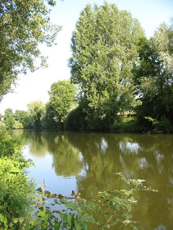
The Yser River rises on the northern flanks of the sandstone hills of Monts Cassel and de Récollets in northern France. It flows in an arc through the West…
What is the source of the Yser River, and where does it empty into the sea?
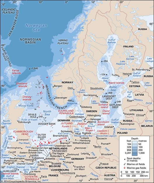
The Yser River rises on the northern flanks of the sandstone hills of Monts Cassel and de Récollets in northern France. It flows in an arc through the West Flanders province of Belgium before emptying into the North Sea below the town of Nieuwpoort.12
How does the Yser River contribute to the water management and flood control systems in the region?
The Yser River plays a vital role in regional water management through a network of infrastructure designed to control drainage and water levels.
Key components of this system include:
- Polder Drainage: The river serves as a primary drainage outlet for numerous channels that collect water from the surrounding polders, which are low-lying tracts of land reclaimed from the sea.1
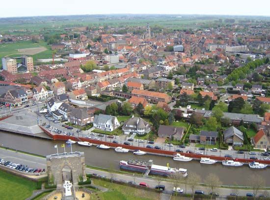
- Sluice Regulation: At Nieuwpoort, a system of sluices is used to regulate the river’s depth. This management is essential for maintaining an adequate outfall for drainage and ensuring the river remains navigable, although its navigability can be limited during dry summer periods.1
- Canal Integration: The river is connected to broader water management and transport networks via the Loo Canal and the Yser (IJzer) Canal, which link it to Veurne and Ypres, respectively.1
Historically, this infrastructure has also served as a strategic defensive tool; during World War I, the manipulation of the Nieuwpoort sluices was used to flood the surrounding area, effectively halting military advances.13
What is the historical significance of the Yser River, particularly during World War I?
The Yser River holds profound historical significance as a critical defensive line during World War I. In October 1914, as the German army advanced toward the English Channel, the Belgian army retreated to the Yser, marking a pivotal moment in the conflict known as the Battle of the Yser.1
The river became the site of a desperate and successful Allied stand. Facing exhaustion and a critical shortage of ammunition, Belgian forces utilized the region’s water management infrastructure as a strategic weapon. Beginning on October 25, 1914, Belgian engineers began manipulating the sluices at Nieuwpoort. By opening these floodgates at high tide and closing them before the water could recede, they intentionally inundated the battlefield.4
This action effectively halted the German advance, forcing three German divisions into a hasty retreat and securing the Allied left flank. While the flooding resulted in the destruction of the town of Nieuwpoort, it established an impregnable position for the Allies along the river’s left bank, preventing the Germans from winning the “Race to the Sea.”143
How long is the Yser River, and what are its major tributaries?
The Yser River is a small stream that spans approximately 48 miles (77 kilometers) in length. It rises on the northern flanks of the sandstone hills of Monts Cassel and de Récollets in northern France and flows in an arc through the West Flanders province of Belgium before emptying into the North Sea near Nieuwpoort.12
Regarding your question about the river’s major tributaries, the provided search results do not contain information identifying specific tributaries of the Yser River. While the river is linked to other waterways, such as the Loo Canal and the Yser (IJzer) Canal, these are man-made channels rather than natural tributaries.1
Sources
- Yser River — Encyclopædia Britannica
- Yser — Merriam-Webster
- Nieuwpoort — Encyclopædia Britannica
- First Battle of Ypres - The Battle of the Yser and the main German attack — Encyclopædia Britannica
Published on · 2 min read