Acaraí Mountains
The Acarai Mountains are a low mountain range situated on the border between Brazil (Pará state) and southern Guyanaá state) and southern Guyana.
What is Acaraí Mountains?
The Acarai Mountains are a low mountain range situated on the border between Brazil (Pará state) and southern Guyanaá state) and southern Guyana.1
Key features of the range include:
- Geography: The mountains extend in an east–west direction for approximately 80 miles (130 km).1
- Elevation: They rise to about 2,000 feet (600 metres) above sea level.1
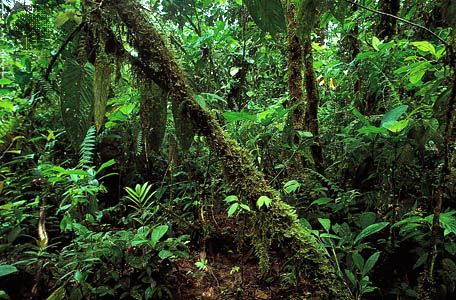
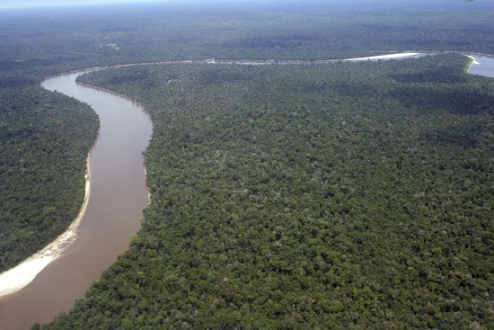
- Environment: The entire region is covered in dense tropical rain forest and serves as part of the northern watershed for the Amazon Basin.1
- Exploration: The range is considered less rugged than other parts of the Guiana Highlands and was first mapped using satellite imagery in the late 1970s.12
What are the Guiana Highlands?
The Guiana Highlands are a vast plateau and low-mountain region in South America, situated between the Amazon and Orinoco rivers. The region spans parts of Venezuela, Brazil, Colombia, and the Guianas.4
The terrain is characterized by three distinct levels:
- Upland: A rolling basement generally below 1,000 feet (300 metres).4
- Low Mountains: Areas near stream divides ranging from 2,000 to 3,000 feet (600 to 900 metres).4
- Tabular Plateaus: High, sandstone-capped formations, including Mount Roraima, which reaches 9,094 feet (2,772 metres).4
The region is primarily covered in tropical rainforest and is rich in minerals, including gold, diamonds, and iron ore. It is also home to Angel Falls, the world’s highest waterfall.4
Note: The Guiana Highlands should not be confused with the Guinea Highlands, which are a mountainous plateau located in West Africa.5
How do mountain ranges influence the Amazon Basin’s watershed?
Mountain ranges play a critical role in shaping the Amazon Basin’s watershed by acting as both physical barriers and primary sources of water and sediment.
The Role of the Andes
The Andes serve as a massive natural barrier to the west, preventing atmospheric water vapor from leaving the basin and forcing it to fall as precipitation. This influence is evident in the high rainfall levels recorded on the Andean flanks and in the upper piedmont, which feed the rivers forming the core of the Amazon system. The Andes are also the source of the Amazon’s “whitewater” tributaries, such as the Madeira and Ucayali, which carry heavy sediment loads derived from the geologically active mountains. Furthermore, the timing of rainfall in the Peruvian and Ecuadorian Andes creates a predictable, alternating pattern of floods that drives the river’s hydrological cycle.678
The Role of Crystalline Highlands
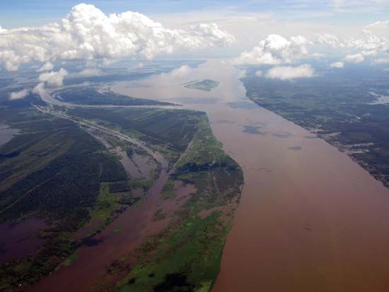
The Guiana Highlands and Brazilian Highlands provide the headwaters for over 1,000 tributaries. Unlike the sediment-rich Andean streams, rivers originating in these ancient crystalline highlands are typically classified as “blackwater” or “clearwater,” carrying significantly less silt and dissolved solids. These highlands define the northern and southern boundaries of the basin, channeling water toward the main Amazon artery as it flows toward the Atlantic Ocean.79
What are some other major mountain ranges in South America?
Beyond the Andes, which form the continent’s most prominent mountain system, South America features several other significant highland and mountain regions:
- Guiana Highlands: Located north of the Amazon River and south of the Orinoco River, this region of plateaus and low mountains spans parts of Venezuela, Brazil, Colombia, and the Guianas. It is characterized by tabular plateaus capped with resistant sandstone, including Mount Roraima.11
- Brazilian Highlands: An eroded plateau region covering more than half of Brazil. These highlands consist of low mountains, hilly uplands, and tabular plateaus, such as the Mato Grosso Plateau and Paraná Plateau.12
- Sierra Nevada de Santa Marta: A distinct mountain range located in northern Colombia along the Caribbean Sea coast.4
- Córdoba Mountains: Situated in central Argentina, these sierras include the Grande Mountains, which rise to 9,462 feet (2,884 metres) and serve as a notable topographic feature near the Pampas.1314
Sources
- Acaraí Mountains — Encyclopædia Britannica
- list of mountain ranges - South America — Encyclopædia Britannica
- Brazil - Guiana Highlands — Encyclopædia Britannica
- Guiana Highlands — Encyclopædia Britannica
- Guinea Highlands — Encyclopædia Britannica
- Amazon River - Climate — Encyclopædia Britannica
- Amazon River - Physiography of the river course — Encyclopædia Britannica
- South America - Rivers of South America — Encyclopædia Britannica
- Amazon River - Hydrology of the Amazon River — Encyclopædia Britannica
- Peru - Lakes and rivers — Encyclopædia Britannica
- Brazilian Highlands — Encyclopædia Britannica
- Andes Mountains: Top Questions — Encyclopædia Britannica
- Sierra Nevada de Santa Marta — Merriam-Webster
- mountain - The Andes — Encyclopædia Britannica
- South America - Factors influencing climate — Encyclopædia Britannica
- Córdoba — Encyclopædia Britannica
- Córdoba — Encyclopædia Britannica
Published on · 3 min read