Albula Pass
The Albula Pass has served as a vital route between northeast Graubünden and the Engadin valley since the 13th century. Its significance was substantially…
How does the Albula Railway contribute to the pass’s importance?
The Albula Pass has served as a vital route between northeast Graubünden and the Engadin valley since the 13th century. Its significance was substantially enhanced by the 1903 opening of the Albula Railway tunnel, which spans 4 miles (6.5 km) beneath the pass.1
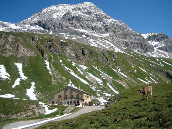
This infrastructure project transformed the pass into a reliable year-round connection. Because the high-altitude road is typically closed due to snow from November through June, the railway provides an essential alternative for transit between the resorts of Preda and Bevers. Furthermore, the ability for motorists to transport their vehicles via train allows travelers to bypass the pass entirely, ensuring consistent access to the region regardless of seasonal weather conditions.1
How does the Albula Pass connect different regions in Switzerland?
The Albula Pass serves as a critical mountain link in eastern Switzerland, acting as the primary route connecting the northeast region of the Graubünden canton to the Engadin valley of the Upper Inn River.1
Historically, this route has facilitated movement across the Albula Alps since the 13th century. While a carriage road was established in 1865, the pass remains subject to seasonal closures due to heavy snow between November and June. To overcome these geographical barriers, the 1903 opening of a 4-mile (6.5 km) railway tunnel beneath the pass provided a reliable, year-round connection between the resorts of Preda and Bevers. This infrastructure allows for the transport of vehicles by train, effectively bypassing the high-altitude pass and ensuring consistent transit between these otherwise isolated valleys.12
What is the geographical location and elevation of the Albula Pass?
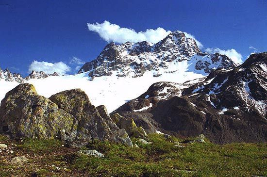
The Albula Pass is located in the Albula Alps, a mountain range within the Rhaetian Alps of eastern Switzerland. Situated in the canton of Graubünden, the pass serves as the primary route connecting the northeastern part of the canton to the Engadin valley of the Upper Inn River, located north of the resort of Saint Moritz.12
The highest point of the Albula Pass reaches an elevation of 7,585 feet (2,312 metres).12
How has tourism in the Albula Pass region changed over the years?
Tourism in the Albula Pass region has evolved significantly, shifting from isolated mountain transit to a hub for mass tourism. While the pass has served as a communication link since the 13th century, the 19th century marked a turning point when the area, particularly the Engadin valley, became fashionable as an “air cure” and winter-sports destination.14
The 20th century brought transformative changes:
- Infrastructure: The 1903 opening of the railway tunnel between Preda and Bevers ended the isolation of the region, allowing for year-round access that facilitated the growth of tourism.13
- Economic Shift: Following World War II, mass tourism became the most significant economic driver in the Alps, providing essential service sector employment as traditional agriculture declined.5
- Environmental Impact: While improved road and rail tunnels made the region accessible to a steady influx of visitors, this development has also contributed to the degradation of the Alpine environment.3
Sources
- Albula Pass — Encyclopædia Britannica
- Albula Alps — Encyclopædia Britannica
- Alps - Transportation — Encyclopædia Britannica
- Alps - Tourism — Encyclopædia Britannica
- Engadin — Encyclopædia Britannica
Published on · 2 min read