Barind
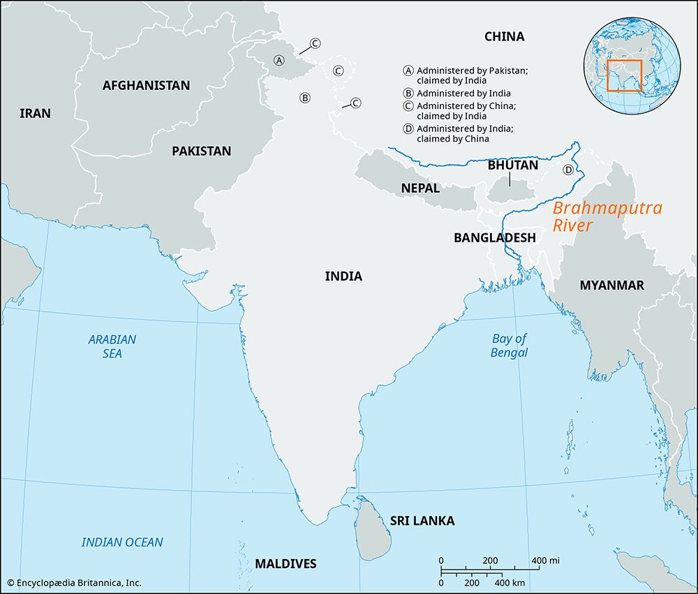
The Barind is a geographic region situated in northwestern Bangladesh and north-central West Bengal, India.
What is the geographical location and extent of the Barind region in Asia?
The Barind is a geographic region situated in northwestern Bangladesh and north-central West Bengal, India.1
The region is defined by the following boundaries and characteristics:
- Location: It lies northwest of the confluence of the upper Padma (Ganges) and the Jamuna (the Brahmaputra in Bangladesh).1
- Extent: It is bordered to the west by the floodplains of the Mahananda River and to the east by the Karatoya River.1
- Topography: The area is a comparatively high, undulating landscape characterized by reddish and yellowish clay soils. It is intersected by ravines and divided into distinct sections by the Atrai River and its tributaries.1
The region features a mix of irrigated agricultural plots, scrubland, and wasteland, with rice serving as the primary crop.1
How does the soil composition of the Barind region differ from surrounding areas?
The soil composition of the Barind region is distinct from the surrounding low-lying areas due to its unique geological characteristics. While the neighboring Atrai Basin (Bhar Basin) consists of fertile, low-lying marshlands that flood extensively during the rainy season, the Barind is a comparatively high and undulating region.1
The soil in the Barind is primarily composed of reddish and yellowish clay. This contrasts with the highly fertile, sediment-rich soils found in the adjacent floodplains and marshy basins, which are specifically noted for their suitability for intensive rice cultivation. Because of these soil differences, the Barind landscape is characterized by a mix of irrigated agricultural plots interspersed with stretches of scrubland and wasteland, whereas the surrounding basins are defined by their seasonal inundation and reliance on raised settlements.1
What are the primary crops grown in the Barind region, and how have agricultural practices evolved over time?
In the Barind region, rice remains the predominant crop, reflecting the area’s long-standing agricultural focus. In addition to rice, farmers cultivate wheat, mustard, pulses, and palmyra palms (Borassus).1
Regarding the evolution of agricultural practices, the provided information indicates that the region is characterized by irrigated agricultural plots situated between stretches of scrubland and wasteland. While the region’s high, undulating topography and reddish-yellow clay soils present different challenges compared to the fertile, flood-prone lowlands of the neighboring Atrai Basin, the use of irrigation has been a critical development in managing these lands for crop production.1
The available data does not provide a detailed historical timeline of how these specific farming techniques have evolved over time.
What are the major rivers and water bodies associated with the Barind region?
The Barind region is defined by its position relative to several major river systems in northwestern Bangladesh and West Bengal, India. It is situated northwest of the confluence of the Padma River (the Ganges) and the Jamuna (the Brahmaputra River in Bangladesh).1
The region is bordered by the following rivers:
- West: The Mahananda River, a tributary of the upper Padma.1
- East: The Karatoya River, a tributary of the Jamuna.1
Additionally, the landscape of the Barind is physically shaped by the Atrai River and one of its tributaries, which divide the region into separate sections. To the east and southeast lies the lower Atrai Basin, a vast area characterized by lowland marshes that experience complete flooding during the rainy season.1
Sources
- Barind — Encyclopædia Britannica
Published on · 2 min read