Boise River
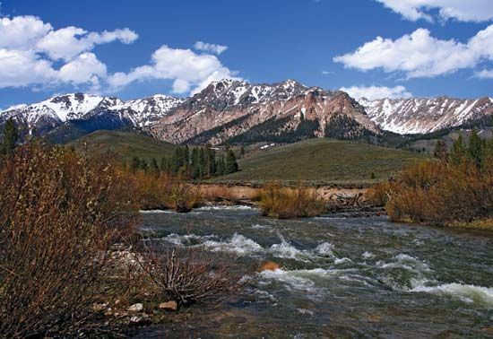
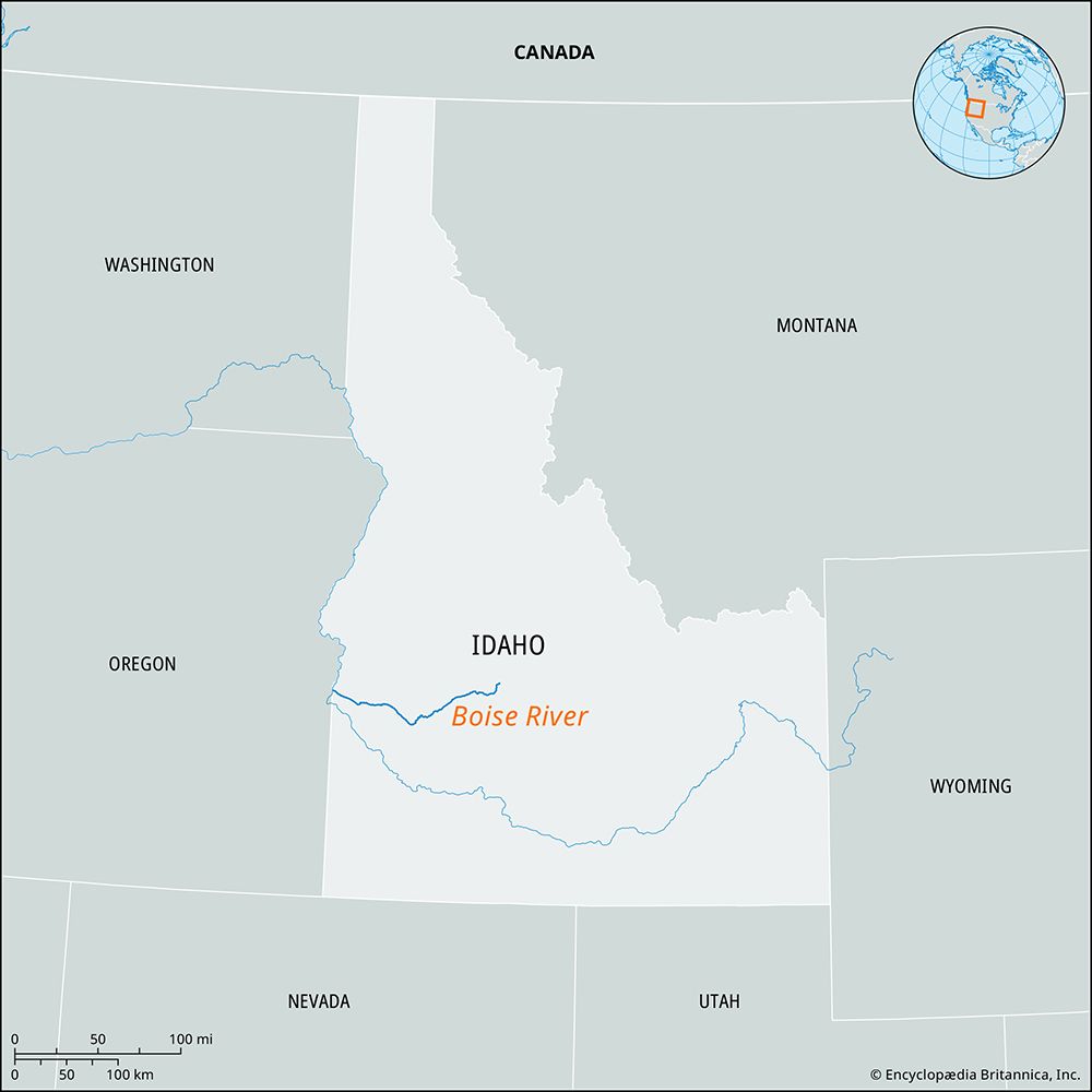
The Boise River is a 95-mile (150 km) watercourse located in southwestern Idaho, U.S. It is formed by the confluence of its North and Middle Fork branches…
What is Boise River?
The Boise River is a 95-mile (150 km) watercourse located in southwestern Idaho, U.S. It is formed by the confluence of its North and Middle Fork branches within the Boise National Forest, southeast of Idaho City.12
The river flows westward, passing through the city of Boise before joining the Snake River near the Oregon border. Its name is derived from the French word boisé, meaning “wooded,” a term applied by early 19th-century French Canadian trappers who found the tree-lined river a welcome relief while crossing the arid Snake River plain. Before 1863, the waterway was known as the Reed (or Reeds) River.13
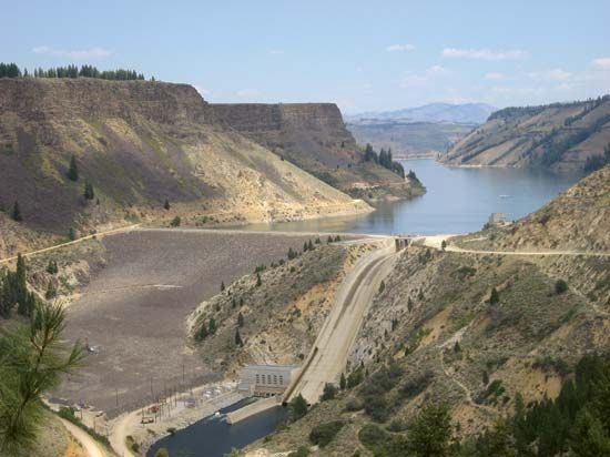
The river is managed for water storage, irrigation, and recreation through several dams, including Arrowrock, Lucky Peak, and Anderson Ranch.13
How did the Oregon Trail influence the development of Boise?
The Oregon Trail played a pivotal role in the early development of Boise by establishing the city as a vital geographic crossroads. Its location at the intersection of the trail and the routes leading to the Boise Basin and Owyhee mines was essential to the city’s initial growth and economic viability.2
Following the 1862 gold rush in the Boise River basin, Fort Boise was established on July 4, 1863. The community that formed around this site served as a service hub for the nearby mines and travelers moving along the Oregon Trail. This strategic position helped Boise transition from a frontier outpost into a significant regional center, leading to its designation as the capital of the Idaho Territory in 1864.2
What role do the dams on the Boise River play in the region’s agriculture?
The dams on the Boise River, including Arrowrock, Lucky Peak, and Anderson Ranch, are essential to the region’s agricultural success. Following the establishment of the Boise Irrigation Project after 1902, these structures were built to provide critical water storage for the area.12
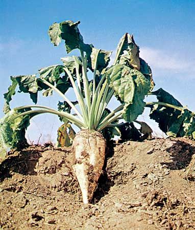
By regulating the flow of the river, these dams ensure a reliable water supply for irrigation, which enabled significant agricultural expansion in the early 20th century. This infrastructure supports the cultivation of crops such as sugar beets and fruit, as well as the maintenance of livestock, which remain key components of the local economy today.2
What are some of the ghost towns found in the Boise National Forest?
The Boise National Forest is home to numerous abandoned mining sites and ghost towns that emerged following the 1862 gold rush in the Boise River basin.83
While many mining communities in the region transitioned into lumbering or livestock-grazing outposts as mineral deposits were depleted, others were eventually abandoned, becoming ghost towns that now serve as points of interest for tourists. One notable example is Idaho City, which was founded as Bannock in 1862. During its peak, it served as a major commercial and social hub with a population of 30,000 to 40,000. Following the decline of placer mining, its population dwindled significantly, and today it retains historical relics such as the Masonic Hall, St. Joseph’s Catholic Church, and the Boot Hill Cemetery.832
Sources
- Boise River — Encyclopædia Britannica
- Boise — Encyclopædia Britannica
- Boise National Forest — Encyclopædia Britannica
- Idaho - Territorial period — Encyclopædia Britannica
- Oregon - Permanent U.S. settlement — Encyclopædia Britannica
- Idaho - Statehood and beyond — Encyclopædia Britannica
- Oregon Trail - Missionaries, Mormons, and others — Encyclopædia Britannica
- Idaho City — Encyclopædia Britannica
Published on · 2 min read