Cape Agulhas
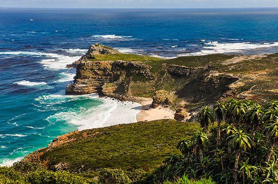
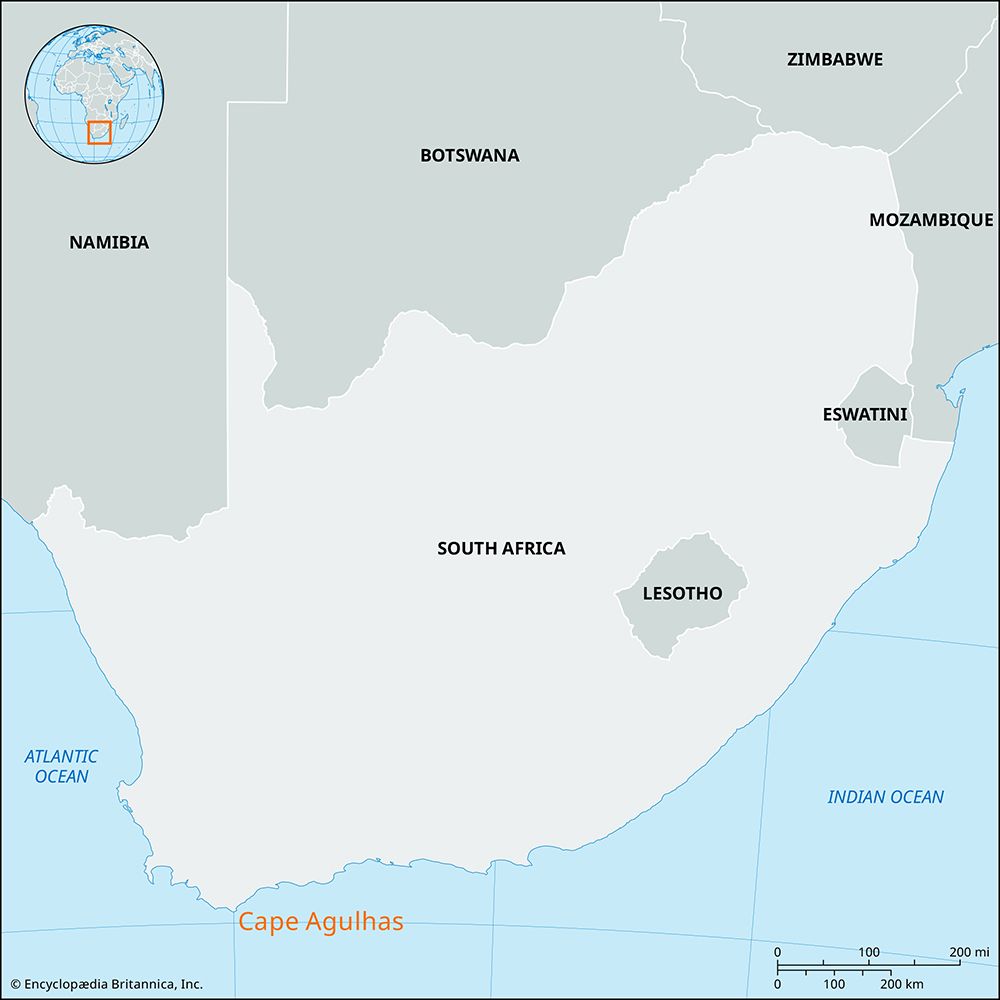
Cape Agulhas is the southernmost point of the African continent, located approximately 109 miles (176 km) southeast of Cape Town, South Africa.
What is Cape Agulhas?
Cape Agulhas is the southernmost point of the African continent, located approximately 109 miles (176 km) southeast of Cape Town, South Africa.12
The name, which is Portuguese for “needles,” is thought to refer to the jagged rocks and reefs in the area that have historically caused many shipwrecks, or potentially to early observations by navigators that their compass needles showed no magnetic deviation at this location. The cape’s meridian (20° E) serves as the official boundary between the Indian Ocean and the Atlantic Ocean.1
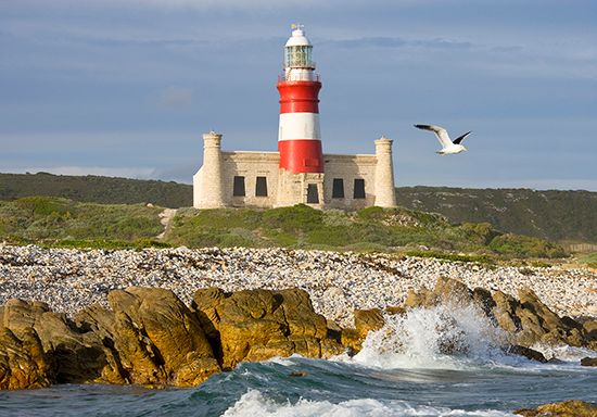
While often confused with the Cape of Good Hope, Cape Agulhas holds the true title of Africa’s southernmost tip. The surrounding Agulhas Banks are noted for being excellent for trawling, and a lighthouse has been in operation at the site since 1849.21
How does the Cape of Good Hope differ from Cape Agulhas?
While the Cape of Good Hope is often mistakenly identified as the southernmost point of Africa, that distinction belongs to Cape Agulhas, which lies approximately 109 miles (176 km) southeast of Cape Town.124
The two landmarks differ significantly in their historical and geographical roles:
- Geographic Status: Cape Agulhas is the official southernmost point of the African continent. Its meridian (20° E) marks the official boundary between the Indian Ocean and the Atlantic Ocean.14
- Historical Significance: The Cape of Good Hope was a critical strategic landmark during the Age of Discovery. Its successful navigation by Bartolomeu Dias in 1488 opened vital maritime trade routes between Europe and Asia, later serving as a key stopping point for global trade and colonial expansion.24
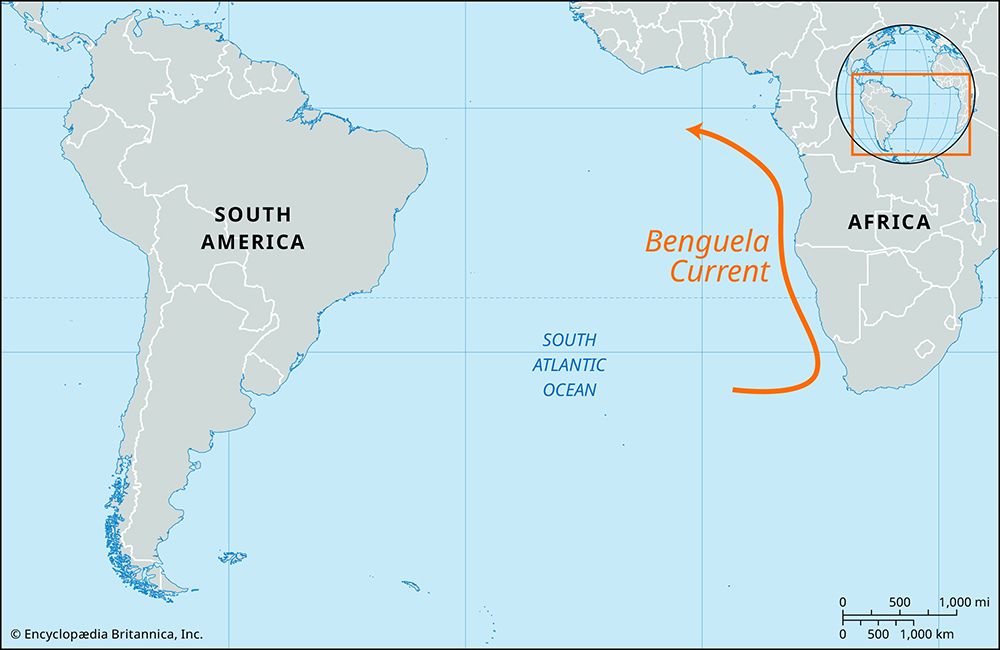
- Conditions: The Cape of Good Hope is known for its stormy weather and the convergence of the warm Agulhas Current and the cool Benguela Current.2
What makes the Agulhas Current important for global climate?
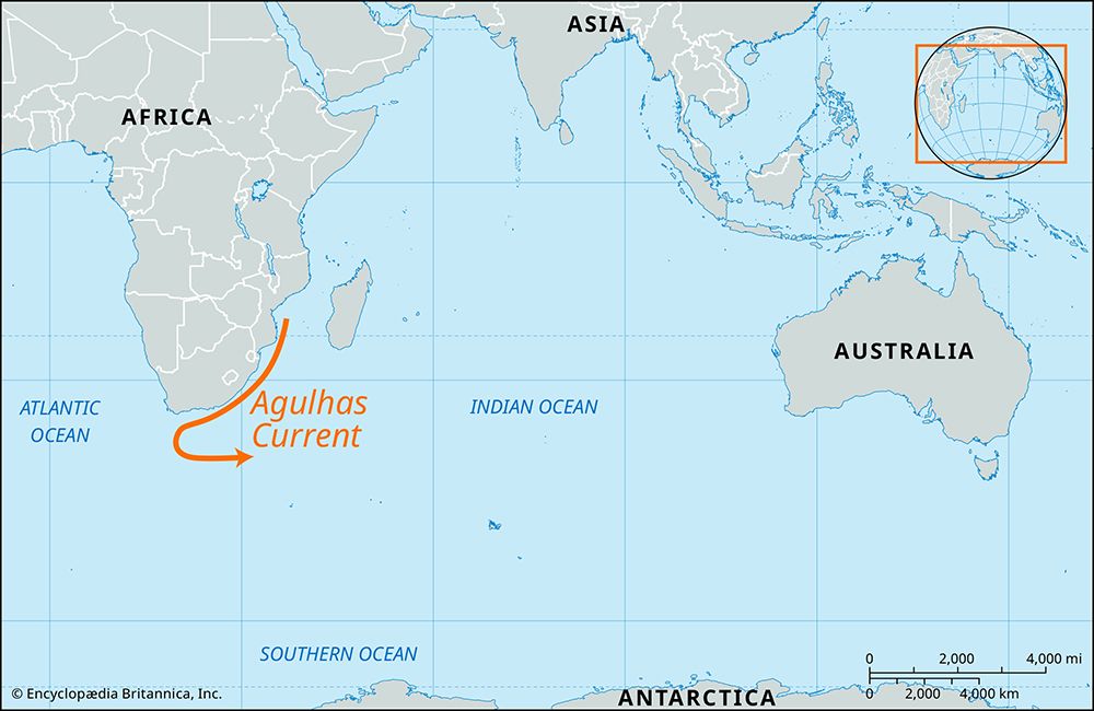
The Agulhas Current plays a significant role in the global climate system by acting as a major western boundary current that transports excess heat from low-latitude tropical regions toward higher latitudes.56
Its importance to the climate is characterized by several key factors:
- Heat Transport: As a warm, fast-flowing current, it helps regulate regional temperatures. By keeping the air over the southeast coast of South Africa warmer and less dense, it facilitates the rise of air and the entry of moisture-bearing clouds from the Indian Ocean, which influences precipitation patterns.57
- Oceanic Connectivity: While the current primarily flows southward and eventually retroflects back into the Indian Ocean, approximately 10 to 20 percent of its water is injected into the South Atlantic Ocean as large, warm eddies. This process is a critical mechanism for inter-oceanic heat and salt exchange, which is vital for maintaining the global thermohaline circulation.6
Why is the meeting point of the Atlantic and Indian Oceans dangerous for ships?
The waters near the southern tip of Africa, where the Atlantic Ocean and Indian Ocean meet, are notoriously hazardous for maritime navigation due to a combination of extreme weather and complex current dynamics.5
The primary dangers include:
- Convergence of Opposing Currents: The region is characterized by the meeting of the warm, fast-flowing Agulhas Current from the Indian Ocean and the cool Benguela Current from the Antarctic. This interaction creates highly unstable sea conditions.5
- Rogue Waves: These waters are prone to the formation of rogue waves—unexpected, massive walls of water that can reach heights of 30 meters (nearly 100 feet). These waves can arise from the interaction of currents or the “constructive interference” of smaller waves, making them unpredictable even in relatively calm weather. Such waves are powerful enough to capsize vessels or cause significant structural damage.82
- Jagged Geography: Near Cape Agulhas, the coastline is marked by jagged rocks and reefs that have historically caused numerous shipwrecks, a danger reflected in the name “Agulhas,” which is Portuguese for “needles”.9
Sources
- Cape Agulhas — Encyclopædia Britannica
- Cape of Good Hope — Encyclopædia Britannica
- Agulhas, Cape — Merriam-Webster
- Cape of Good Hope: Top Questions — Encyclopædia Britannica
- Agulhas Current — Encyclopædia Britannica
- subtropical gyre — Encyclopædia Britannica
- South Africa - Climate — Encyclopædia Britannica
- What Makes a Wave Go Rogue? — Encyclopædia Britannica
- rogue wave — Encyclopædia Britannica
- Atlantic Ocean - The South Atlantic — Encyclopædia Britannica
- Equatorial current — Encyclopædia Britannica
Published on · 3 min read