Chaillu Massif
The Chaillu Massif is a granite mountain range located in south-central Gabon that also extends into the Republic of the Congo.
What is Chaillu Massif?
The Chaillu Massif is a granite mountain range located in south-central Gabon that also extends into the Republic of the Congo.12
Rising to elevations exceeding 3,300 feet (1,000 meters), the range serves as the primary watershed for Gabon, situated between the Ngounié and Ogooué rivers. Notable peaks within the massif include Mount Milondo (3,346 feet), Mount Iboundji (3,215 feet), and Mount Mimongo (2,822 feet). In the Republic of the Congo, the range reaches heights between 1,600 and 2,300 feet along the border with Gabon.12
The massif is named after the explorer Paul du Chaillu, who documented the mountains during his expeditions along the Ngounié River between 1855 and 1865.1
Who was the explorer Paul du Chaillu?
Paul Belloni du Chaillu (1831–1903) was a French-born American explorer known for his expeditions in Africa. Between 1855 and 1865, he conducted significant journeys up the Ngounié River, during which he documented the Chaillu Massif, a mountain range in south-central Gabon that now bears his name.31
What major rivers originate in the Chaillu Massif?
The Chaillu Massif serves as the primary watershed for Gabon, situated between the Ngounié and Ogooué rivers.14
Specifically, the Ogooué River—the major river system of the region—originates on the eastern slopes of the Massif du Chaillu within the Republic of the Congo. While the massif is defined by its position between the Ngounié and Ogooué rivers, it acts as the central drainage divide for the surrounding landscape.41
How does the Chaillu Massif affect the climate of Gabon?
The Chaillu Massif influences the climate of Gabon primarily through its elevation. While the broader region of Central Africa is characterized by hot and wet equatorial conditions, highland areas such as the Chaillu Massif tend to be cooler and wetter than the surrounding lowlands.1
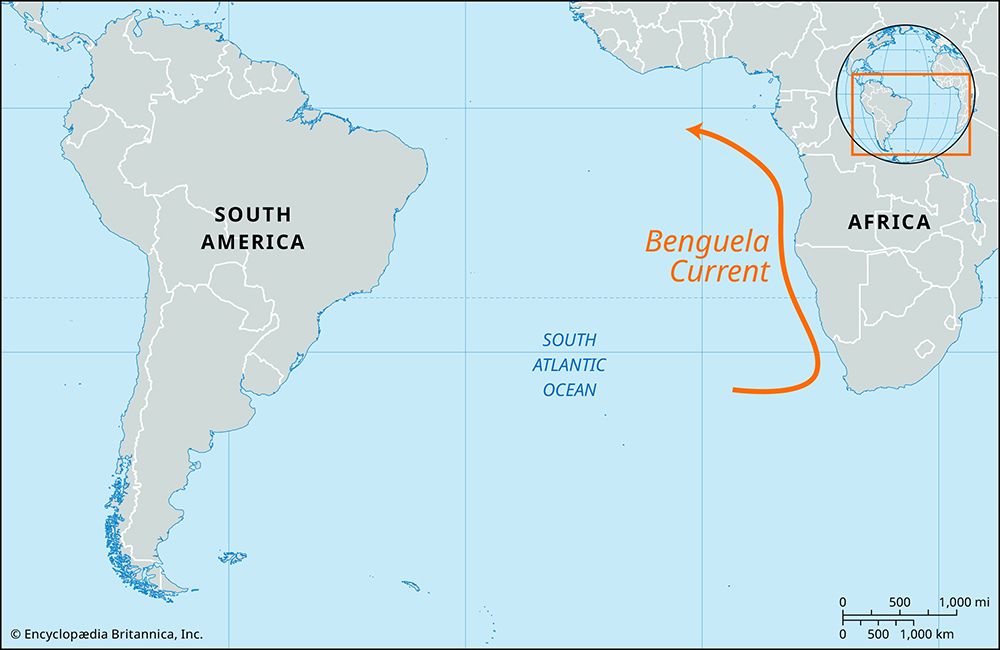
By rising to elevations exceeding 3,300 feet (1,000 meters), the massif creates localized variations in temperature and precipitation compared to the coastal plains and river basins. These higher altitudes provide a contrast to the lower-lying regions, which are otherwise dominated by intense, heavy precipitation driven by the intertropical convergence zone and, in the southwest, the cooling effects of the Benguela Current.641
Sources
- Chaillu Massif — Encyclopædia Britannica
- Republic of the Congo - Relief — Encyclopædia Britannica
- Du Chaillu — Merriam-Webster
- Gabon - Relief and drainage — Encyclopædia Britannica
- Ogooué River — Encyclopædia Britannica
- Central Africa — Encyclopædia Britannica
Published on · 2 min read