Chelif River
The Chelif River is the longest and most significant river in Algeria, serving as a vital artery for the nation's agricultural economy rather than holding a…
What historical significance does the Chelif River hold in Algerian culture?
The Chelif River is the longest and most significant river in Algeria, serving as a vital artery for the nation’s agricultural economy rather than holding a specific, documented role in cultural or symbolic traditions.12
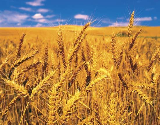
Its historical and economic importance is primarily defined by its role in regional development. The river’s basin, particularly the Chelif plain, has been transformed through extensive irrigation systems supported by dams constructed in the 1930s, enabling the cultivation of cereals, grapes, and citrus fruits. The town of Ech-Cheliff, situated along the river, reflects this history; it was established by the French in 1843 on the site of the ancient Roman settlement of Castellum Tingitanum and has evolved into a key agricultural trade center. Additionally, the region has faced significant challenges, notably the devastating earthquakes in 1954 and 1980 that impacted the area surrounding the river, leading to the renaming of the town of El-Asnam to Ech-Cheliff in 1981.13
What is the source of the Chelif River and where does it empty?
The Chelif River, which is the longest river in Algeria, has its farthest source in the Amour ranges of the Saharan Atlas Mountains near Aflou, where it begins as the Sebgag River.1
After traversing the Hauts Plateaux and being replenished by the Nahr Ouassel River near Chabounia, the river flows north through the Tell Atlas Mountains and eventually turns west to run parallel to the coast. It ultimately empties into the Mediterranean Sea at a point approximately 8 miles (13 km) north of Mostaganem.1
Are there any major dams or reservoirs along the Chelif River, and what are their purposes?
The Chelif River system features three primary dams that were constructed to manage its irregular flow and support regional agriculture. These dams are located at:
- Ksar el-Boukhari (constructed in 1932)1
- Ech-Cheliff (formerly El-Asnam; constructed in 1932)1
- El-Khemis (constructed in 1939)1
The primary purpose of these structures is to provide essential irrigation for the lower reaches of the river’s basin, which receives only moderate and undependable rainfall. This irrigation infrastructure enables the cultivation of cereals, oranges, and grapes, as well as minor cotton production around the town of Ech-Cheliff.1
Beyond agricultural support, the river has been so intensively exploited for both irrigation and drinking water that it has experienced significant depletion, occasionally ceasing to flow in its lower reaches during the summer months.2
What are the main tributaries of the Chelif River?
The Chelif River is fed by two primary tributaries identified in its course:
Sources
- Chelif River — Encyclopædia Britannica
- Algeria - Drainage of Algeria — Encyclopædia Britannica
- Ech-Cheliff — Encyclopædia Britannica
Published on · 2 min read