Clark Fork
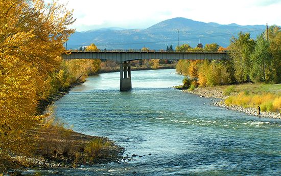
The Clark Fork is a river located in the western United States, flowing through western Montana and northern Idaho.
What is Clark Fork?
The Clark Fork is a river located in the western United States, flowing through western Montana and northern Idaho1.
Rising near Butte, Montana, the river follows an irregular course for approximately 360 miles (585 km) before emptying into Pend Oreille Lake in Idaho. Beyond this lake, the waterway continues toward the Columbia River under the name Pend Oreille River. The river system is characterized by narrow streams set within mountainous terrain, featuring significant agricultural irrigation in the Bitterroot and Flathead valleys. Its major tributaries include the Blackfoot, Bitterroot, St. Regis, and Flathead rivers. The surrounding region is known for its mineral wealth and proximity to protected areas like Glacier National Park.1
What is the relationship between the Clark Fork and the Pend Oreille River?
The Clark Fork and the Pend Oreille River are essentially the same waterway, distinguished primarily by their location relative to Lake Pend Oreille in northern Idaho.12
The Clark Fork originates near Butte, Montana, and flows northwest for approximately 360 miles until it empties into Lake Pend Oreille. Upon exiting the lake, the river is renamed the Pend Oreille River, which then continues its course until it eventually joins the Columbia River. In essence, the lake acts as a transition point where the river’s designation changes.132
How do the tributaries like the Flathead River shape the Clark Fork basin?
The Flathead River plays a critical role in shaping the Clark Fork basin by significantly increasing the river’s volume and supporting the region’s economic and ecological landscape. After flowing through the Flathead Valley—a region defined by diversified farming, fruit growing, lumbering, and mining—the Flathead River joins the Clark Fork near Paradise, Montana.4
The interaction between the Clark Fork and its tributaries, including the Flathead, Bitterroot, and Blackfoot rivers, defines the basin’s geography. These waterways are characterized by long, narrow streams confined by mountainous terrain, which create distinct intermontane valleys. The basin is heavily shaped by:1
- Agricultural Development: Extensive irrigation in the Flathead and Bitterroot valleys relies on these tributaries to support local agriculture.1
- Topographical Constraints: The mountainous terrain, including the Lewis Range and Glacier National Park, forces the rivers into specific, narrow corridors.41
- Resource Management: Infrastructure like the Hungry Horse Dam on the Flathead’s South Fork demonstrates how human intervention manages the basin’s water flow.4
What are some of the major wildlife preserves found in the mountains near the river?
The mountains surrounding the Clark Fork and Pend Oreille river systems are home to significant protected lands that preserve the region’s diverse ecosystems. While the Clark Fork basin itself is noted for several wildlife preserves and sections of national forests, the broader mountainous terrain of the region contains some of the most extensive wilderness areas in the United States.
Key protected areas and features in the vicinity include:
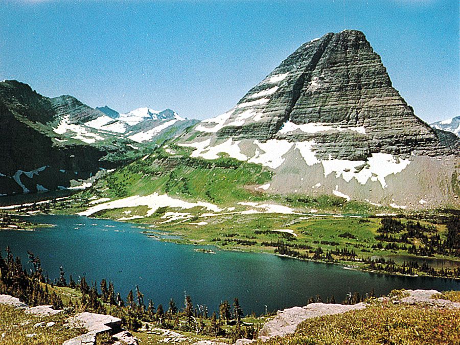
- Glacier National Park: Located in the mountains adjacent to the Clark Fork basin, this park is renowned for its spectacular scenery and diverse wildlife habitats.1
- National Forests: Large sections of national forests, such as the Kaniksu National Forest surrounding Lake Pend Oreille, provide critical cover and habitat for regional fauna.13
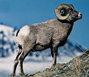
- Wilderness Areas: The heart of the region includes vast, remote wilderness areas such as the Selway-Bitterroot, Frank Church River of No Return, and Gospel Hump. These areas support populations of elk, bighorn sheep, and mule deer.5
These preserves are vital for maintaining the populations of species like grizzly bears and gray wolves that roam the mountainous terrain.5
Sources
- Clark Fork — Encyclopædia Britannica
- Clark Fork — Merriam-Webster
- Lake Pend Oreille — Encyclopædia Britannica
- Flathead River — Encyclopædia Britannica
- Idaho - Plant and animal life — Encyclopædia Britannica
Published on · 3 min read