Dhaleswari River
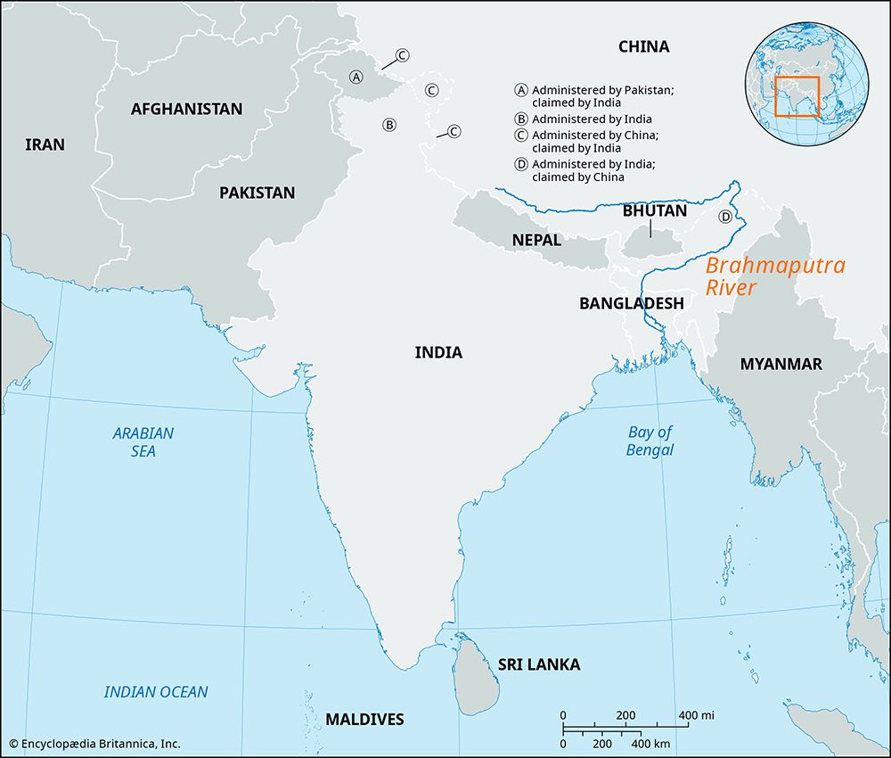
The Dhaleswari River is a significant waterway located in central Bangladesh. It functions as an arm of the Jamuna River, branching off south-southwest of…
What is Dhaleswari River?
The Dhaleswari River is a significant waterway located in central Bangladesh. It functions as an arm of the Jamuna River, branching off south-southwest of Tangail.1
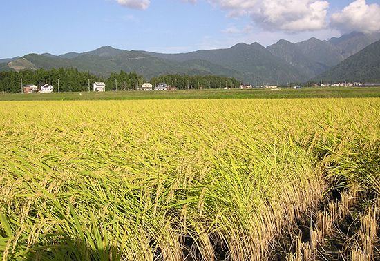
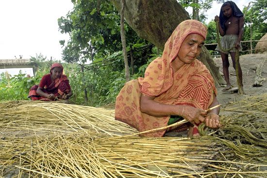
The river flows for approximately 100 miles (160 km) in a southeasterly direction, winding through a region heavily cultivated with jute and rice. Its path takes it west and south of Dhaka before it ultimately joins the Meghna River near Narayanganj.1
How does the Jamuna River influence the geography of Bangladesh?
The Jamuna River is a primary force shaping the geography of Bangladesh, acting as the main lower channel of the Brahmaputra River since the early 19th century. Its influence on the landscape is profound and multifaceted:23
- Dynamic Topography: The Jamuna is characterized by its notoriously shifting course, meaning the river is rarely in the same location for two consecutive years. This constant movement leads to the continuous erosion and deposition of silt, which reshapes the region’s physiography.23
- Formation of Chars: As the river shifts, it creates and destroys seasonal islands and newly deposited lands known as *char*s. While these chars can be unstable, they are highly fertile and serve as valuable agricultural land for the people of Bangladesh.23
- Hydrological Impact: The river carries an enormous volume of water and sediment, contributing to the massive discharge of the Ganges-Brahmaputra system. During the summer monsoon, the Jamuna frequently overflows its banks, causing extensive flooding that replenishes soil fertility but also poses significant risks to crops and settlements.243
- Infrastructure and Settlement: The river’s shifting nature and the surrounding shoals and quicksand inhibit permanent settlement along its banks and complicate communication between northern Bangladesh and the capital, Dhaka.3
What are the primary crops grown in the river basins of Bangladesh?
Agriculture is the backbone of the economy in Bangladesh, and the fertile river basins play a crucial role in sustaining the country’s production. The annual flooding of these rivers replenishes the soil with nutrient-rich silt, creating highly productive land for a variety of crops.632
The primary crops grown in these regions include:
- Rice: The predominant agricultural product of the country.6
- Jute: A vital cash crop for which Bangladesh is one of the world’s leading suppliers.6
- Tea: Another key source of foreign exchange6.
- Other Staples: Farmers also cultivate wheat, sugarcane, tobacco, and various pulses, such as peas, beans, and lentils.6
- Produce: The river basins support the growth of oilseeds, spices, sweet potatoes, and a wide range of fruits, including bananas, mangoes, and pineapples.6
Additionally, the riverine environment is essential for aquaculture, which provides a significant portion of the nation’s fish yield, including freshwater varieties like the hilsa.6
How do major rivers like the Meghna impact the lives of people in Dhaka?
Major rivers, including the Meghna River, are fundamental to the lives of people in Dhaka and across Bangladesh, serving as both a vital resource and a source of significant risk.
- Transportation and Economy: Waterways are central to the nation’s transportation system, providing low-cost access to areas where land travel is expensive or difficult. The Meghna and its tributaries, such as the Dhaleswari River, facilitate the movement of essential goods like jute, tea, and grain.9103
- Agricultural Support: The rivers deposit nutrient-rich silt during annual inundations, which is essential for the fertility of the land surrounding Dhaka and throughout the delta.1
- Hydrological Risks: These rivers are subject to constant, rapid changes in their courses, which can disrupt local hydrology. During the monsoon season (June to October), rivers frequently overflow, causing floods that can damage crops, destroy homes, and threaten populations.1
- Climate Vulnerability: Climate change, including rising sea levels and erratic rainfall, is expected to exacerbate river erosion and flooding, posing ongoing challenges for infrastructure and the livelihoods of those living near these watercourses.11
Sources
- Dhaleswari River — Encyclopædia Britannica
- Brahmaputra River - Hydrology — Encyclopædia Britannica
- Bangladesh - Rivers of Bangladesh — Encyclopædia Britannica
- Brahmaputra River - Physiography — Encyclopædia Britannica
- Ganges River - Physiography — Encyclopædia Britannica
- Bangladesh - Agriculture and fishing — Encyclopædia Britannica
- Assam - Agriculture, forestry, weaving, and fishing — Encyclopædia Britannica
- Brahmaputra River - Navigation and transport — Encyclopædia Britannica
- Meghna River — Encyclopædia Britannica
- Bangladesh - Transportation — Encyclopædia Britannica
- Ganges River - Navigation — Encyclopædia Britannica
- Bangladesh - Climate change — Encyclopædia Britannica
Published on · 3 min read