Gamburtsev Mountains
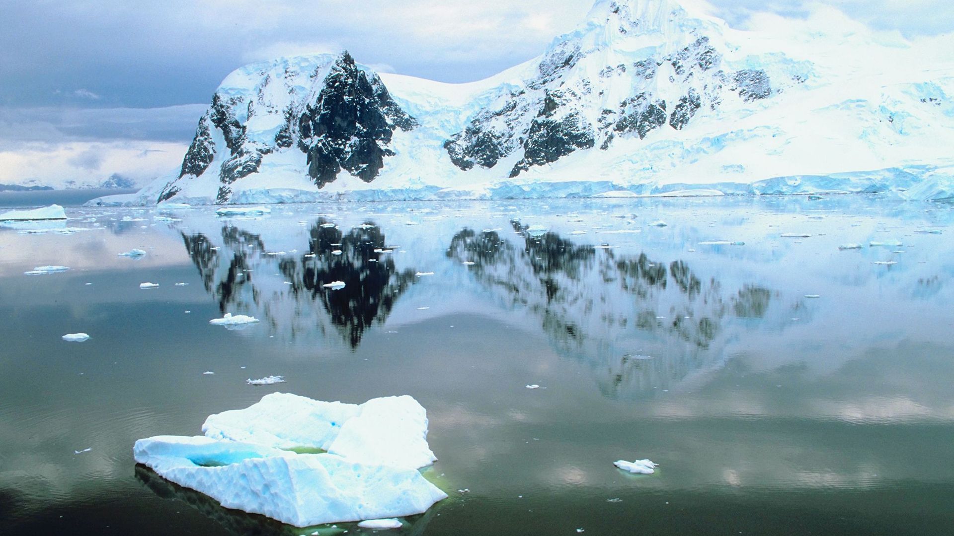
The Gamburtsev Mountains are a subglacial mountain range located in the central region of eastern Antarctica. Extending approximately 750 to 800 miles (1,200…
What is Gamburtsev Mountains?
The Gamburtsev Mountains are a subglacial mountain range located in the central region of eastern Antarctica. Extending approximately 750 to 800 miles (1,200 to 1,300 km), the range reaches a maximum elevation of 11,120 feet (3,390 meters).1
These mountains are entirely concealed beneath more than 1,970 feet (600 meters) of the Antarctic ice cap. They were first discovered in 1958 by a Soviet expedition and subsequently mapped using seismic reflection techniques. Researchers believe this range may have been the site where the initial glacier formed more than 14 million years ago, eventually expanding to create the vast East Antarctic Ice Sheet.1
How do scientists use seismic reflections to map hidden landscapes?
Scientists use seismic reflection to map hidden landscapes by measuring the time it takes for seismic waves to travel from a source to an interface and back to a detector. This process is conceptually similar to echo sounding:23
- Initiation: A seismic wave is generated at a “shot point” using sources such as mechanical vibrators, falling weights, or small explosions.34
- Reflection: As these waves travel through the Earth, they reflect off interfaces where rock properties—such as density—change.234
- Detection: Detectors, such as geophones on land or hydrophones in water, record the arrival time and amplitude of these reflected waves.534
- Mapping: By analyzing the round-trip travel time and wave velocity, scientists can calculate the distance to these interfaces. Mapping these reflections across many locations allows researchers to create cross-sectional drawings, known as seismic profiles, which reveal the contours of buried structures like the Gamburtsev Mountains.236
This method is highly valued for its ability to resolve smaller features compared to other geophysical techniques.2
What is the history of the East Antarctic Ice Sheet?
The East Antarctic Ice Sheet has a complex history spanning millions of years. Some scientists believe the initial glacier that eventually thickened into this massive ice sheet originated in the Gamburtsev Mountains more than 14 million years ago.19
While the continent has been largely covered by ice since these first glaciers appeared, the ice sheet’s history is marked by significant fluctuations. Evidence, such as the discovery of marine diatoms in glacial deposits, suggests that Antarctica may have been nearly ice-free as recently as 3 million years ago, potentially undergoing major deglaciations similar to those seen in the Northern Hemisphere.9
Today, the ice sheet serves as a vital climate archive. Ice cores extracted from the region, such as those from the Vostok station, provide a record of past temperatures, atmospheric composition, and volcanic activity extending back hundreds of thousands of years. These records have been instrumental in understanding the relationship between carbon dioxide levels and global climate transitions.109
How does the Antarctic ice cap affect global climate?
The Antarctic ice cap influences global climate primarily by acting as a massive reservoir of fresh water and by regulating ocean structure. Containing 70 percent of the world’s fresh water, the Antarctic Ice Sheet maintains a delicate mass balance through snowfall gains and losses from ice shelf melting and iceberg calving12.
Its climatic impacts include:
- Sea Level Regulation: If ice losses exceed snowfall gains, the resulting discharge contributes to global sea-level rise discharge contributes to global sea-level rise.12
- Ocean Salinity and Circulation: As icebergs melt, they release fresh water into the Southern Ocean, which helps maintain the pycnocline—a density boundary that separates surface waters from deeper layers.12
- Sea Ice Interactions: While sea ice itself has a neutral effect on salinity over time, its formation near the coast rejects brine, increasing local salinity and driving convection currents that form dense bottom water.1213
- Albedo Effect: Snow and ice possess a high albedo, reflecting solar radiation and helping to keep the Earth’s surface cool.13
We could dive deeper into how changes in ocean circulation patterns, such as those influenced by ice melt, have historically triggered abrupt climate shifts.
Sources
- Gamburtsev Mountains — Encyclopædia Britannica
- Earth exploration - Seismic reflection methods — Encyclopædia Britannica
- Earth exploration - Seismic refraction methods — Encyclopædia Britannica
- seismic survey — Encyclopædia Britannica
- petroleum production - Seismographic methods — Encyclopædia Britannica
- Earth sciences - Glacier motion and the high-latitude ice sheets — Encyclopædia Britannica
- Antarctica - Structural framework — Encyclopædia Britannica
- hydrologic sciences - The movement of glaciers — Encyclopædia Britannica
- ice sheet — Encyclopædia Britannica
- Pleistocene Epoch - Ice-core records — Encyclopædia Britannica
- Antarctica - Glaciation — Encyclopædia Britannica
- iceberg - Impacts on ice sheets and sea level — Encyclopædia Britannica
- iceberg - Impact on ocean structure — Encyclopædia Britannica
- sea ice - Interactions with the oceans , atmosphere , and climate — Encyclopædia Britannica
Published on · 3 min read