Gwātar Bay
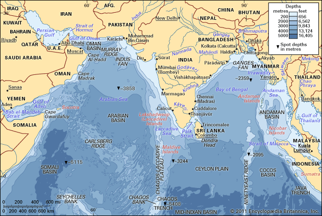
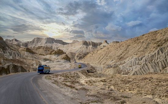
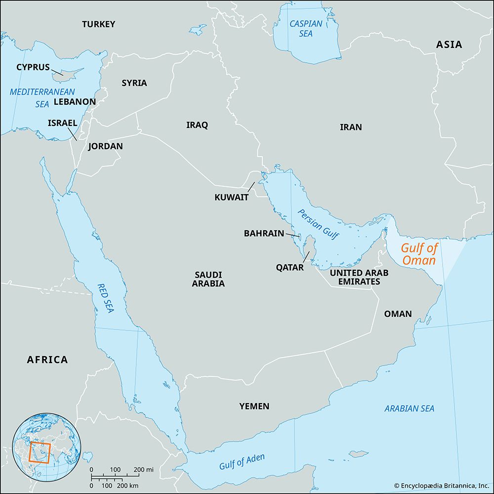
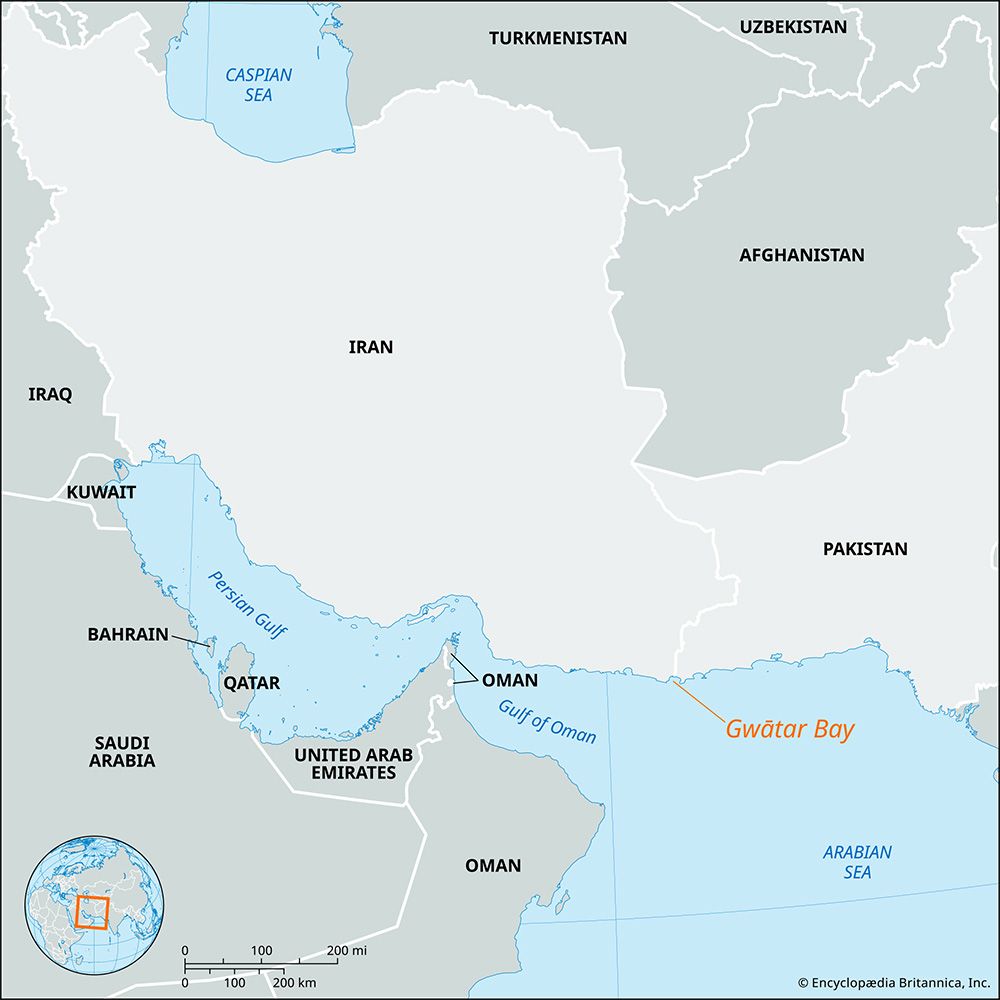
Gwātar Bay is an inlet of the Arabian Sea that indents the sandy Makran coast along the border of Iran and Pakistan.
What is Gwātar Bay?
Gwātar Bay is an inlet of the Arabian Sea that indents the sandy Makran coast along the border of Iran and Pakistan.1
The bay measures approximately 20 miles (32 km) in length and 10 miles (16 km) in width. It receives water from the Dashtīārī River, which flows in from the northwest, and the Dasht River, which enters from the northeast. Settlements located along the bay include the village of Bandar Gavāter in Iran and the city of Jīwanī in Pakistan. Additionally, the Pakistani town of Gwadar is situated on the Arabian Sea coast roughly 30 miles (48 km) to the east of the bay.1
What is the significance of the Makran coast?
The Makran coast, a 600-mile stretch along the Gulf of Oman and the Arabian Sea, holds significant historical and modern strategic importance.
Historical Significance
Historically known as Gedrosia, the region served as the site of Alexander the Great’s retreat from India in 325 BCE. It has long been a strategic crossroads for the Persian and Macedonian empires, and it was held by Arab forces prior to their conquest of Sindh in the 5th century.2
Modern Strategic Importance
In the contemporary era, the coast is vital for international maritime commerce and geopolitics:
- Gwadar Port: Located on the Pakistani coast, Gwadar serves as the southwestern terminal of the China-Pakistan Economic Corridor (CPEC).3
- Maritime Trade: The port provides a critical gateway to the Persian Gulf and the Strait of Hormuz, allowing trade routes to bypass the Strait of Malacca, which is considered a potential vulnerability in regional supply chains.3
- Economic Development: While the region remains sparsely populated and economically isolated by mountainous terrain, it is a focal point for infrastructure investment and international trade initiatives.3
How do rivers like the Dasht shape coastal environments?
Rivers like the Dasht play a fundamental role in shaping coastal environments by acting as primary agents of sediment transport and landscape evolution. When rivers meet the sea, they create distinct landforms and ecosystems through the interaction of freshwater discharge, tidal energy, and wave action.56
Coastal Landforms
- Deltas: Where a river delivers more sediment than coastal processes can remove, a delta forms. These features vary in shape based on the dominance of river, wave, or tidal energy.56
- Estuaries: These partially enclosed bodies of water occur where river flow mixes with seawater. The sediment deposited here is influenced by the river’s basin geology and the strength of tidal currents.78
- Salt Wedges: In many estuaries, freshwater and saltwater form a “salt wedge.” This circulation pattern pumps nutrients from the seafloor into the water column, supporting diverse biological communities like mangrove forests and salt marshes9.
Sediment Dynamics
The character of a coastline is often a “battleground” between the volume of river-borne sediment and the energy of the ocean. If river velocity diminishes rapidly upon entering the sea, inorganic particles settle to the bottom, enriching the substrate for coastal vegetation. In regions like the Makran coast, these processes are essential for maintaining the coastal morphology that supports local fishing and human settlement.76910
What is the historical importance of the Iran-Pakistan border region?
The border region between Iran and Pakistan, particularly the Makran area, has held strategic and historical significance for millennia.
Historical Context
- Ancient Crossroads: Historically known as Gedrosia, the region served as a vital corridor for the Persian and Macedonian empires. It is famously noted as the site of Alexander the Great’s difficult retreat from India in 325 BCE.2
- Cultural and Ethnic Ties: The region is home to the Baloch people, who inhabit both sides of the border. The area has long been a meeting point for diverse cultural influences, including Arab, Persian, and South Asian traditions, with Arab forces holding the region before their conquest of Sindh in the 5th century.211
- Colonial Demarcation: The modern boundary was shaped by colonial interests; in 1872, the British sent a commission to formally demarcate the Persia-Makran boundary, and Lord Curzon later reinforced British political influence in the area during the early 20th century.12
Strategic Significance
The border region remains a critical zone for regional connectivity. The Pakistani side of the Makran coast serves as a gateway to the Arabian Sea, with ports like Gwadar functioning as essential hubs for trade and infrastructure development.212
Sources
- Gwātar Bay — Encyclopædia Britannica
- Makran — Encyclopædia Britannica
- Gwadar port — Encyclopædia Britannica
- Makrān — Encyclopædia Britannica
- Persian Gulf - Physiography — Encyclopædia Britannica
- coastal landforms - Deltas — Encyclopædia Britannica
- river - Sedimentation in estuaries — Encyclopædia Britannica
- river - Deltas — Encyclopædia Britannica
- estuary - Salt wedge estuaries — Encyclopædia Britannica
- river - Estuaries — Encyclopædia Britannica
- Pakistan — Encyclopædia Britannica
- Iran - Ethnic groups — Encyclopædia Britannica
- Wagah-Attari border: Top Questions — Encyclopædia Britannica
- Indus River - People of the Indus River — Encyclopædia Britannica
- Pakistan - Land — Encyclopædia Britannica
Published on · 3 min read