Hidaka Range
The Hidaka Range is a mountain range located on Hokkaido, Japan, forming the southernmost portion of the Shiribeshi Mountain system. It projects into the…
What is Hidaka Range?
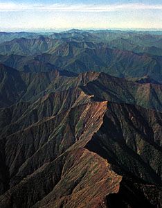
The Hidaka Range is a mountain range located on Hokkaido, Japan, forming the southernmost portion of the Shiribeshi Mountain system. It projects into the Pacific Ocean at Cape Erimo and is situated west of the Tokachi Plain.1
The range is notable for containing Mount Poroshiri, which, at 6,732 feet (2,052 m), is the highest nonvolcanic mountain in Hokkaido. The area near the center of the range features remnants of former glaciation, and the seaward margin is characterized by marine terraces that reach heights of up to 1,181 feet (360 m) near Cape Erimo.1
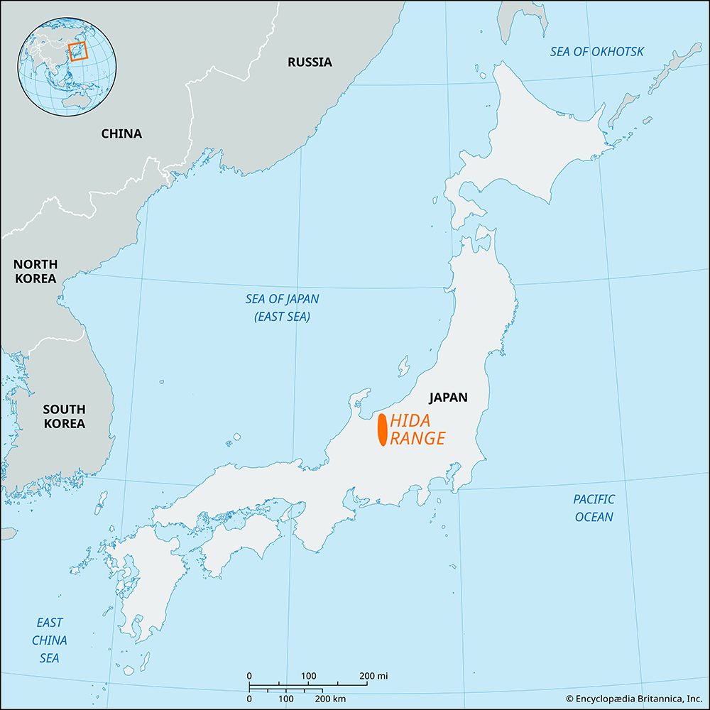
Please note that the Hidaka Range is distinct from the Hida Range, which is located on the island of Honshu and is often referred to as the Northern Alps.2
What makes Mount Poroshiri unique among Hokkaido’s mountains?
Mount Poroshiri is unique among the mountains of Hokkaido because it is the highest nonvolcanic peak on the island.1
Rising to an elevation of 6,732 feet (2,052 m) near the center of the Hidaka Range, the mountain is also notable for its proximity to remnants of former glaciation. While much of Hokkaido’s mountainous terrain is defined by volcanic activity, Mount Poroshiri stands out as a significant nonvolcanic feature within the region’s complex geological landscape.13
How do glaciers shape mountain landscapes?
Glaciers are powerful agents of landscape transformation, reshaping mountain environments through both erosional and depositional processes.
Erosional Landforms
As glaciers move, they carve the landscape far more aggressively than rivers. While streams typically create narrow, V-shaped valleys, glaciers widen and deepen these into characteristic U-shaped valleys with steep, often vertical sidewalls.45
High in the mountains, glaciers sculpt the peaks themselves:
- Cirques: These are amphitheatre-shaped hollows carved into mountainsides, often containing small lakes known as tarns.4
- Arêtes and Horns: As cirques erode the rock, they leave behind sharp, knife-edge ridges called arêtes. When multiple cirques erode a mountain from different sides, they create a jagged, pyramid-shaped peak known as a horn, such as the Matterhorn.4
- Hanging Valleys: Because smaller tributary glaciers erode more slowly than the main glacier, their valleys are left “hanging” high above the main valley floor, often resulting in dramatic waterfalls.5
Depositional Landforms
Glaciers also transport and deposit vast amounts of rock debris, known as till. These accumulations, called moraines, mark the glacier’s path and extent. Lateral moraines form along the valley sides, while end or terminal moraines accumulate at the glacier’s snout.6
What are the main differences between volcanic and nonvolcanic mountains?
The primary difference between volcanic and nonvolcanic mountains lies in their formation processes. While both are often products of tectonic plate interactions, their physical structures and origins differ significantly.
Volcanic Mountains
Volcanic mountains are formed when magma from the mantle rises through the Earth’s crust and erupts onto the surface. Their shape and height are largely determined by the composition and volume of the erupted material:8
- Composition: Low-viscosity lavas, such as those in Hawaii, create gently sloping shield volcanoes, while more viscous lavas mixed with solid rock fragments form steeper stratovolcanoes like Mount Fuji.89
- Environment: The setting of an eruption—whether on land, underwater, or beneath ice—profoundly influences the resulting landform.9
Nonvolcanic Mountains
Nonvolcanic mountains are primarily created through tectonic forces that deform the Earth’s crust without relying on volcanic eruptions:
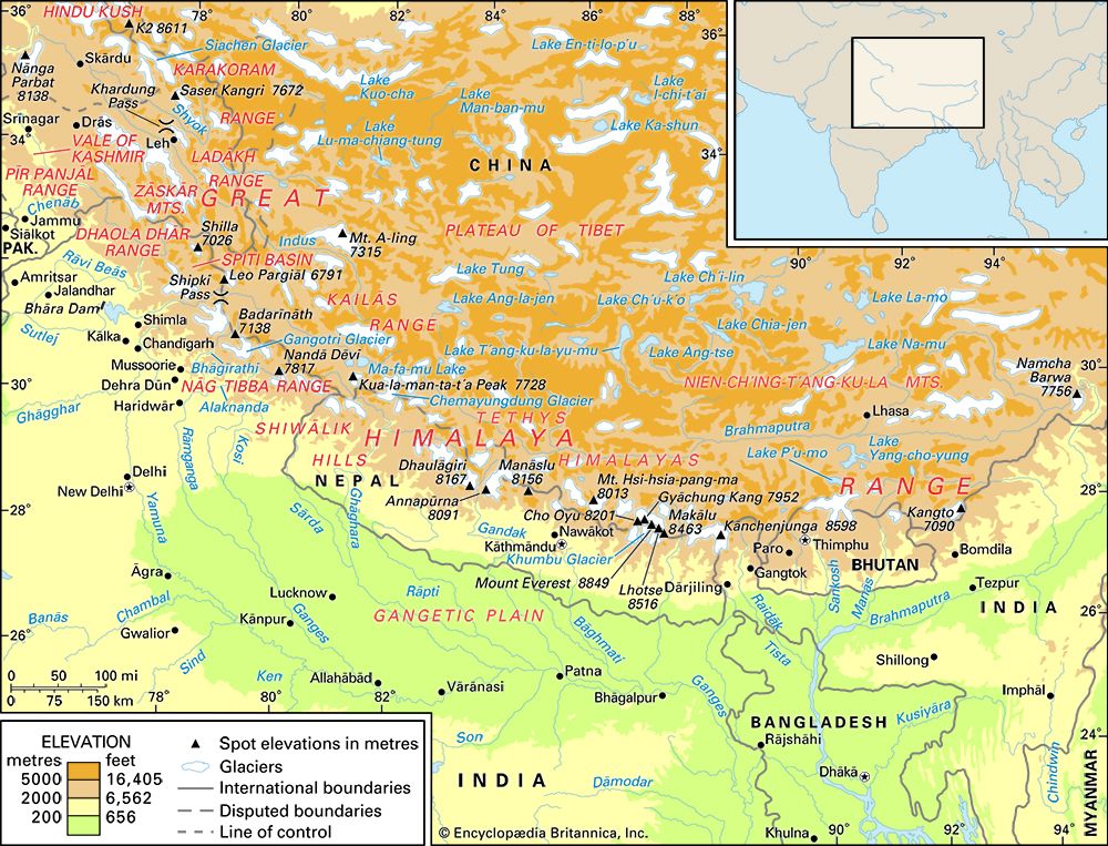
- Orogeny (Folding): When tectonic plates collide, the immense pressure causes the crust to crumple and fold, creating long, linear mountain belts like the Himalayas.10
- Block Faulting: Large blocks of the crust are uplifted or tilted along faults, creating rugged terrain such as the Sierra Nevada Mountains.10
- Residual Mountains: These are formed when erosion by wind, water, and glaciers wears away surrounding rock, leaving behind elevated areas like Mount Katahdin. Mount Katahdin.11
Sources
- Hidaka Range — Encyclopædia Britannica
- Hida Range — Encyclopædia Britannica
- Japan - The major physiographic regions — Encyclopædia Britannica
- glacial landform - Cirques , tarns, U-shaped valleys, arêtes, and horns — Encyclopædia Britannica
- glacial landform - Moraines — Encyclopædia Britannica
- glacial valley — Encyclopædia Britannica
- Alps - Geology — Encyclopædia Britannica
- mountain - Volcanism — Encyclopædia Britannica
- plate tectonics - Mountains by subduction — Encyclopædia Britannica
- continental landform - Orogenic geomorphic systems — Encyclopædia Britannica
- How are mountains formed? — Encyclopædia Britannica
- volcano - Determinants of size and shape — Encyclopædia Britannica
- volcano - Major types — Encyclopædia Britannica
Published on · 3 min read