Hövsgöl Mountains
The Hövsgöl Mountains are a mountain range located in northern Mongolia. They are situated to the south of Hövsgöl Lake, which is the country's largest and…
What is Hövsgöl Mountains?
The Hövsgöl Mountains are a mountain range located in northern Mongolia. They are situated to the south of Hövsgöl Lake, which is the country’s largest and deepest freshwater lake.12
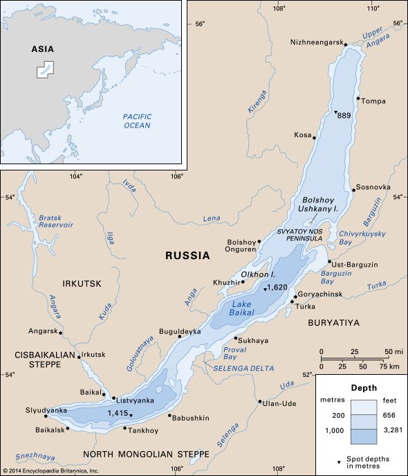
The region is characterized by its proximity to the Russian border and its connection to the broader Lake Baikal drainage basin via the Egiyn and Selenge rivers.2
What makes Lake Hvsgl unique among the world’s freshwater lakes?
Hövsgöl Lake is unique as the largest and deepest freshwater body in Mongolia. Occupying a structural depression in the northern part of the country, the lake reaches depths exceeding 800 feet (244 meters).23
Its hydrological significance is tied to its position within the Lake Baikal drainage basin. Unlike many of Mongolia’s other lakes, which are often saline, impermanent, or lack outlets, Hövsgöl is a freshwater lake that maintains an outlet via the Egiyn River (Eg River), which eventually feeds into the Selenge River system.23
How does the geography of northern Mongolia influence its climate?
The geography of northern Mongolia significantly shapes its climate, which is characterized by a pronounced continental pattern due to the country’s high latitude and distance from oceanic influence.4
The northern region is defined by its mountainous terrain, which plays a critical role in local weather patterns:
- Temperature: Mean temperatures in the north are generally cooler than in the south. The high elevation—averaging about 5,180 feet (1,580 meters)—contributes to a climate where annual and diurnal temperature ranges are extreme.4
- Precipitation: Elevation acts as a key driver for moisture; while low-lying desert areas in the south receive minimal rainfall, the northern mountains experience higher annual precipitation, reaching up to 14 inches (350 mm).4
- Atmospheric Dynamics: Mountains in the region can act as barriers to air masses and influence wind patterns. During winter, the area is dominated by cold anticyclones centered over Siberia, leading to bitterly cold conditions. Additionally, heavy snow is more frequent in these mountainous regions compared to the steppes.45
What are some other major mountain ranges found in Mongolia?
Mongolia is defined by three primary mountain chains that shape its diverse landscape. These major ranges include:7
- Mongolian Altai Mountains: The longest and highest chain in the country, extending from the northwest to the southeast. It contains Khüiten Peak, the highest point in Mongolia at 14,350 feet (4,374 meters), and is the only range in the nation with contemporary glaciation.78
- Khangai Mountains: Located near the center of the country, this range is characterized by gentle slopes and expansive pasturelands. Its highest peak, Otgontenger, reaches approximately 13,200 feet (4,025 meters).7
- Khentii Mountains: Situated in the northeast, this range extends toward the Siberian border. While its highest peak, Asraltkhairkhan, reaches about 9,200 feet (2,800 meters), most of the range maintains lower elevations.7
Additionally, Mongolia features several other notable mountain systems, including the Gobi Altai Mountains in the south, the Eastern Sayan Mountains along the northern border with Russia, and the Da Hinggan (Greater Khingan) Range along the eastern frontier.7
Sources
- Hövsgöl Mountains — Encyclopædia Britannica
- Hövsgöl Lake — Encyclopædia Britannica
- Mongolia - Drainage — Encyclopædia Britannica
- Mongolia - Climate and soils — Encyclopædia Britannica
- Inner Mongolia - Climate — Encyclopædia Britannica
- Highland climate — Encyclopædia Britannica
- Mongolia - The mountains — Encyclopædia Britannica
- Altai Mountains - Physiography — Encyclopædia Britannica
Published on · 2 min read