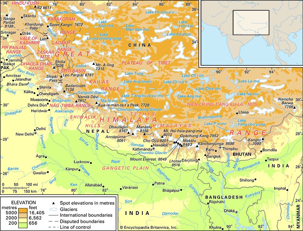
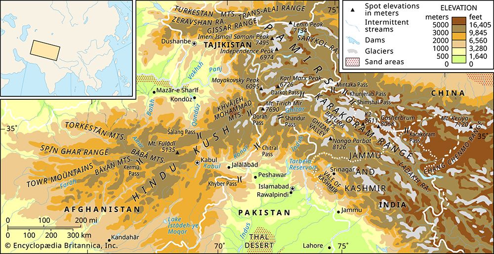
Jhelum River
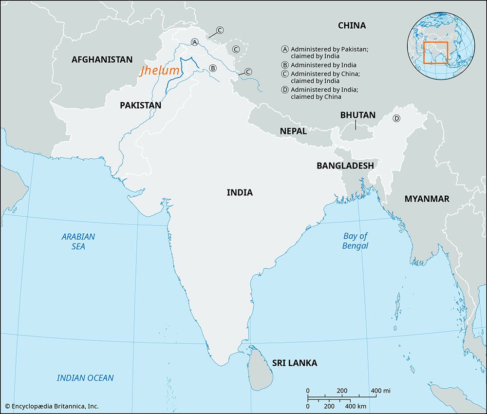
The Jhelum River is central to the water-sharing framework between India and Pakistan, primarily governed by the Indus Waters Treaty of 1960. Under this…
What role does the Jhelum River play in the ongoing water disputes between India and Pakistan?
The Jhelum River is central to the water-sharing framework between India and Pakistan, primarily governed by the Indus Waters Treaty of 1960. Under this agreement, the Jhelum is classified as one of the three “western rivers,” with its waters assigned primarily to Pakistan, except for limited usage rights granted to India within the Jammu and Kashmir union territory.123
The river’s role in ongoing disputes includes:
- Infrastructure and Control: The treaty facilitated the construction of the Mangla Dam on the Jhelum in Pakistan to help maintain water supplies. Conversely, India’s development of hydroelectric projects in the region has frequently led to diplomatic friction, with Pakistan raising concerns that such infrastructure violates the treaty’s limits on India’s water-control ability.23
- Legal and Political Tensions: Recent years have seen an escalation in disputes, including disagreements over dam designs and the competence of international arbitration bodies. In 2025, following heightened security tensions, India announced it would hold the treaty in abeyance, a move that has been contested by international legal bodies as inconsistent with the treaty’s provisions.3
How does the Jhelum River contribute to the water resources and irrigation systems in the area?
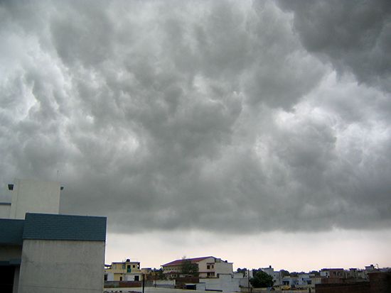
The Jhelum River is a vital water resource for both irrigation and power generation in the Punjab region. Its hydrology is primarily driven by snowmelt from the Himalayas and the Karakoram ranges, as well as heavy rainfall during the summer monsoon season.5
The river’s lower course has been extensively developed to support agricultural and energy needs:
- Irrigation Systems: The Mangla Dam and its reservoir provide critical irrigation for approximately 3 million acres (1.2 million hectares) of land. Additionally, major infrastructure projects like the Upper Jhelum Canal, which connects to the Chenab River, and the Lower Jhelum Canal, which originates at Rasul, are essential for distributing water to agricultural areas.5
- Hydroelectric Power: The river is a significant source of renewable energy. The Mangla Dam has an installed capacity of 1,000 megawatts, with ongoing modernization efforts aiming to increase this output to 1,310 megawatts by 2027.56
While these systems are crucial for regional development, the management of the river’s flow remains a complex task due to seasonal variability and the need to balance water storage with flood control.56
What are some of the major cities or landmarks along the Jhelum River?
The Jhelum River flows through several significant locations and landmarks as it winds from the Himalayas to the plains of Pakistan. Key cities and sites along its course include:
- Vernag: The river originates from a deep spring at this location in the Indian-administered Jammu and Kashmir union territory.5
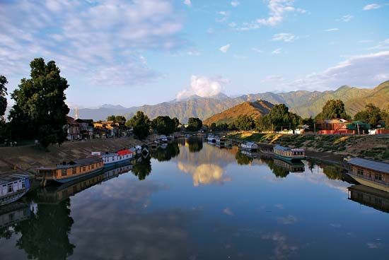
- Srinagar: Situated in the Vale of Kashmir, this city is built along the banks of the Jhelum. The river is a defining feature of the city, spanned by numerous wooden bridges and navigated by traditional shikara boats.58
- Wular Lake: Located near Srinagar, this lake plays a critical role in controlling the river’s flow.5
- Muzaffarabad: The administrative center of Azad Kashmir in the Pakistani-administered sector, where the Jhelum receives the Kishanganga River.5
- Mangla: The site of the Mangla Dam, a major infrastructure project that marks the river’s transition into the broad alluvial plains.5
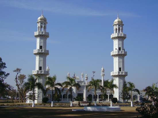
- Jhelum (Town): A city in Pakistan’s Punjab province, known as a major timber market and historical site, potentially linked to the ancient city of Bucephala.](https://www.britannica.com/place/Bucephala-ancient-city-Pakistan).59
How has the Jhelum River been used for transportation and trade throughout history?
Historically, the Jhelum River has served as a significant corridor for movement and commerce. Known in antiquity as the Hydaspes, the river was a notable landmark during the campaigns of Alexander the Great, who is believed to have founded the city of Bucephala near its banks in the 4th century BCE.58
In more recent history, the town of Jhelum developed into a prominent center for the salt trade. Over time, its economic role evolved, and it became a major market for timber, supported by its strategic location along the river and connectivity via the Grand Trunk Road and rail networks. While the river’s upper reaches in the Vale of Kashmir have long been navigated by traditional shikara boats, the lower course has been primarily utilized for large-scale irrigation and hydroelectric infrastructure, such as the Mangla Dam, rather than as a primary commercial shipping artery.85
We could dive deeper into the ancient history of the region or explore the development of the canal systems that transformed the river’s utility.
Sources
- Indus Waters Treaty: Top Questions — Encyclopædia Britannica
- Radcliffe Line - Indus waters dispute — Encyclopædia Britannica
- Indus River - Irrigation of the Indus River — Encyclopædia Britannica
- Indus Waters Treaty — Encyclopædia Britannica
- Jhelum River — Encyclopædia Britannica
- Mangla Dam — Encyclopædia Britannica
- Indus River - Physical features — Encyclopædia Britannica
- Jhelum — Encyclopædia Britannica
- Srinagar — Encyclopædia Britannica
Published on · 3 min read