Mahi River
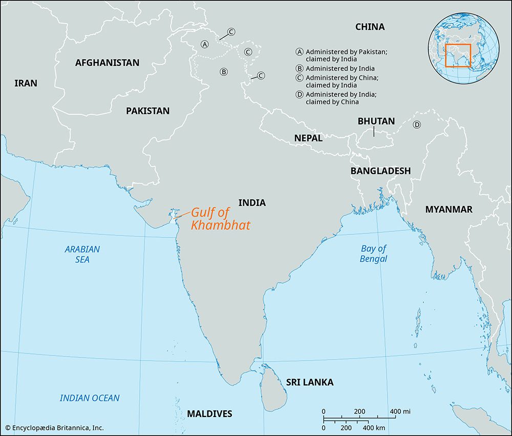
The Mahi River is a stream located in western India. It originates in the western Vindhya Range, south of Sardarpur, and follows a 360-mile (580-km) course.
What is Mahi River?
The Mahi River is a stream located in western India. It originates in the western Vindhya Range, south of Sardarpur, and follows a 360-mile (580-km) course.1
The river flows northward through Madhya Pradesh, turns northwest into Rajasthan, and finally flows southwest through Gujarat before emptying into the sea via a wide estuary past Khambhat.1
The river has significant environmental and economic impacts:
- The silt deposited by the river has caused the Gulf of Khambhat to become shallow, which led to the abandonment of historically prosperous ports.1
- Because the riverbed is situated significantly lower than the surrounding land, the river is of limited utility for irrigation purposes.1
What is the Vindhya Range?
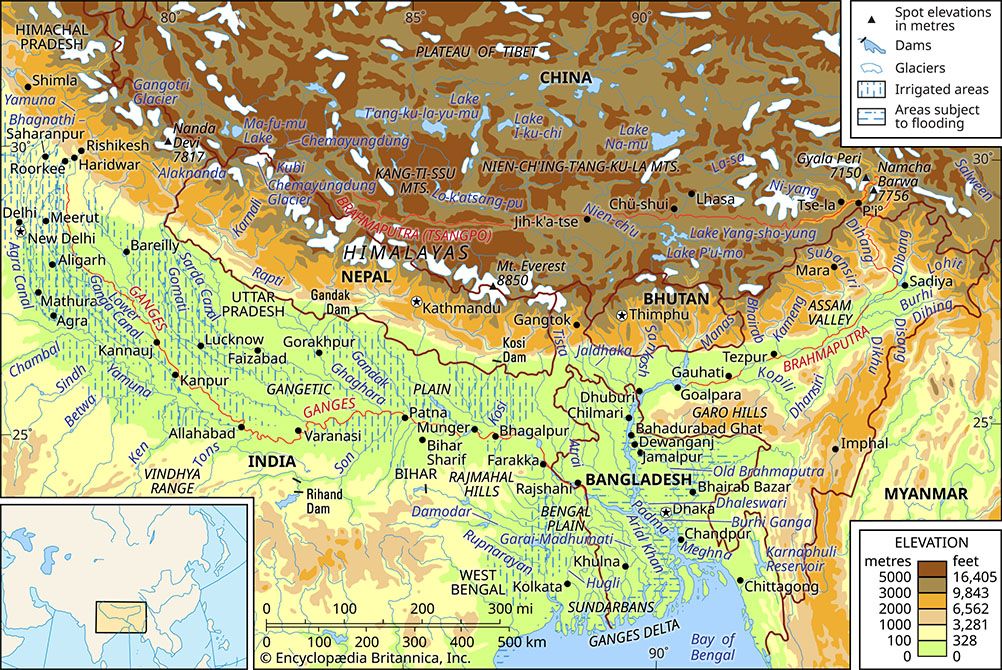
The Vindhya Range is a broken chain of hills that serves as the southern escarpment of central India. Stretching approximately 675 miles (1,086 km) from Gujarat in the west to the Ganges River valley near Varanasi, the range is widely considered the boundary between northern and peninsular India.2
Physical Characteristics
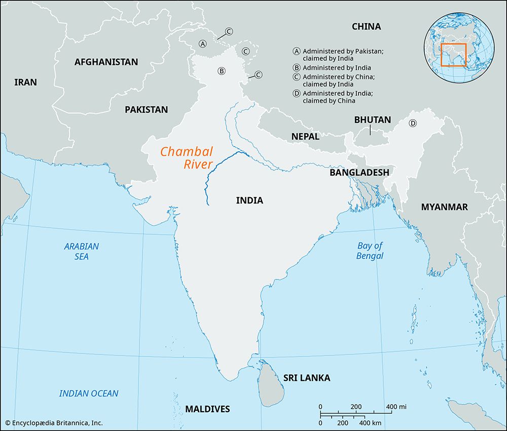
The mountains typically reach elevations between 1,500 and 3,500 feet (450 to 1,100 meters). Due to their horizontal sandstone composition, they often feature flat-topped, plateaulike summits. The range acts as a vital watershed, giving rise to major southern tributaries of the Ganges-Yamuna system, such as the Chambal and Betwa rivers.2
Structure and Branches
The range forms the southern edge of the Malwa Plateau before splitting into two branches:
- Kaimur Range: The eastern portion, which extends into Bihar and features prehistoric rock art.23
- Southern Branch: Runs between the Son and Narmada rivers, eventually meeting the Satpura Range.2
How do rivers contribute to the formation of estuaries?
Rivers contribute to the formation and evolution of estuaries through several key geological and hydrological processes:
- Valley Creation: Historically, rivers entrenched their downstream reaches during periods of lower sea level. As sea levels rose following the Wisconsin Glacial Stage, these river-carved valleys were inundated by marine waters, creating “drowned valley” estuaries.4
- Sedimentation: Rivers act as the primary source of sediment for many estuaries. As river water meets the sea, the reduction in velocity—often influenced by tidal currents—causes suspended inorganic and organic particles to settle. This process, often aided by flocculation (where particles aggregate upon contact with salt water), builds the substrate that supports diverse ecosystems like salt marshes and mangrove forests.56
- Water Mixing: The interaction between river discharge and seawater defines the estuary’s physical environment. High river flow can create a “salt-wedge” where fresh water floats over a wedge of seawater, while lower flows allow for more mixing. This circulation is vital for pumping nutrients into the estuary, which stimulates biological production.45
What are some other major rivers in India?
In addition to the Ganges and Yamuna, India is home to several other major river systems that are vital to its geography and culture. These can be broadly categorized by their location and drainage patterns:
Himalayan Rivers
These rivers are fed by glacial meltwater and runoff, providing a more consistent flow than those in the south.89
- Indus River: A major river system whose tributaries—the Jhelum, Chenab, Ravi, Beas, and Sutlej—define the Punjab region.9
- Brahmaputra River: Rising in Tibet, this river flows through Assam before entering Bangladesh. It is known for its large catchment area and susceptibility to flooding.108
- Northern Tributaries of the Ganges: Rivers such as the Ghaghara, Gandak, and Kosi emerge from the Himalayas to join the Ganges.8
Peninsular Rivers
These rivers are primarily rain-fed and feature steeper gradients, making them less suitable for navigation.811
- Mahanadi River: Originates near the Chhattisgarh Plain and flows into the Bay of Bengal.11
- Godavari River, Krishna River, and Kaveri River: These major systems rise in the Western Ghats and traverse the Deccan plateau toward the Bay of Bengal.1011
- Narmada River: Flows westward through a central belt of hills and forests, serving as a symbolic boundary between northern and southern India.10
Sources
- Mahi River — Encyclopædia Britannica
- Vindhya Range — Encyclopædia Britannica
- Kaimur Hills — Encyclopædia Britannica
- river - Origin and classification — Encyclopædia Britannica
- estuary - Salt wedge estuaries — Encyclopædia Britannica
- river - Sedimentation in estuaries — Encyclopædia Britannica
- coastal landforms - Tides — Encyclopædia Britannica
- India - History of India — Encyclopædia Britannica
- Yamuna River — Encyclopædia Britannica
- India - The Ganges-Brahmaputra river system — Encyclopædia Britannica
- India - Peninsular rivers — Encyclopædia Britannica
- Himalayas - Drainage of the Himalayas — Encyclopædia Britannica
- Himalayas - Physiography of the Himalayas — Encyclopædia Britannica
Published on · 3 min read