Jostedals Glacier
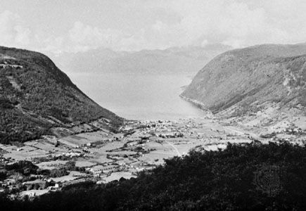
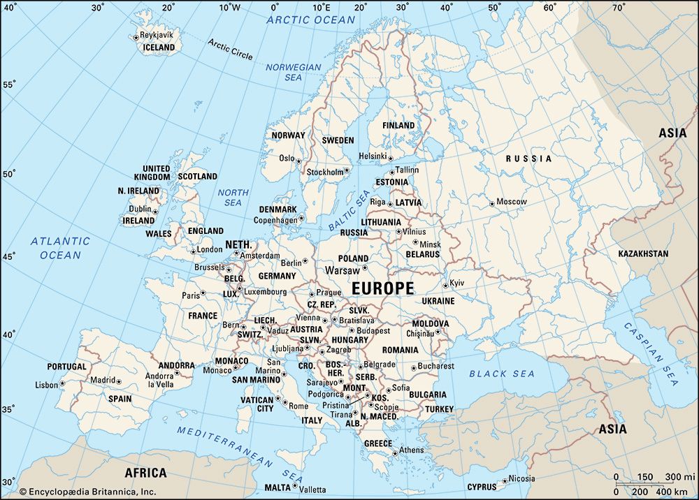
The Jostedals Glacier (Jostedalsbreen) is an expansive ice field located in the Sogn og Fjordane county of western Norway. Situated north of the Sogne Fjord…
What is Jostedals Glacier?
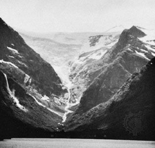
The Jostedals Glacier (Jostedalsbreen) is an expansive ice field located in the Sogn og Fjordane county of western Norway. Situated north of the Sogne Fjord, it holds the distinction of being the largest ice field in continental Europe.12
The glacier covers an area of approximately 315 square miles (815 square km), extending about 45 miles (75 km) in length with a width reaching up to 22 miles (35 km). It is characterized by high plateau ice that blankets a series of mountain peaks, including its highest point, Lodalskåpa, which reaches 6,834 feet (2,083 m). As a glacier, it serves as a source for numerous ice flows that descend into the surrounding valleys. Geographically, it is part of the Lang Mountains region, a sparsely populated area known for its significant role in both winter and summer tourism.12
How are glaciers formed?
Glaciers are formed through the gradual transformation of snow into dense, impermeable ice. This process begins when snow accumulates and undergoes physical changes that increase its density over time.3
The Transformation Process
- Densification: Initially, snow crystals are intricate and loosely packed. Over time, these shapes become unstable, causing grains to round and fit more closely together. Processes such as evaporation, condensation, and wind-packing help increase the density of the snowpack.3
- Firn Formation: Snow that survives a melting season is known as firn (or névé). As density increases beyond 500 kilograms per cubic meter, the material transitions from snow to firn.3
- Glacier Ice: When the density reaches approximately 830 to 840 kilograms per cubic meter, air spaces between grains are sealed off, making the material impermeable to fluids. Under the weight of overlying snow and continued stress, the ice further compresses, eventually reaching densities that can approach that of pure ice.3
Glaciers may also gain mass at their base through the refreezing of water, a process that can lift and alter the upper layers of the ice.3
What is a fjord and how is it created?
A fjord is a long, narrow arm of the sea that extends far inland, created by the marine inundation of a glaciated valley.910
Formation
The creation of a fjord is primarily attributed to the immense erosive power of glaciers. During periods of glaciation, thick, heavy glaciers moved through mountain valleys, carving them into characteristic U-shaped valleys. These glaciers were often so massive that they eroded the valley floors to depths far below sea level.9
Once the glaciers melted, the rising sea water flooded these deep, steep-walled troughs, forming the fjords seen today. Because glaciers are most active and erosive near their source, fjords are typically deeper in their middle and upper reaches than at their seaward ends, where a shallower “rock threshold” often exists. While the glacial origin is widely accepted, some scientists suggest that tectonic activity may also play a role in the formation of these deep features, with glaciers serving to modify preexisting valleys.911
What are the effects of climate change on glaciers?
Climate change significantly impacts glaciers by altering their mass balance, which is the equilibrium between accumulation (snowfall) and ablation (melting, runoff, and iceberg calving). As global temperatures rise due to the buildup of greenhouse gases, the resulting warming of the atmosphere and oceans accelerates the melting of these ice masses.141516
Key Effects of Climate Change on Glaciers
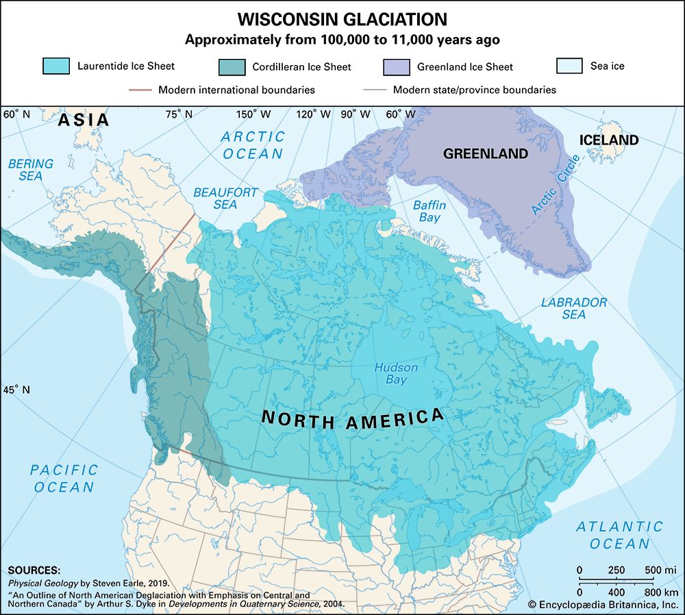
- Mass Loss and Retreat: When ablation exceeds accumulation, a glacier enters a negative mass balance, causing it to shrink and its terminus to retreat. This trend is well-documented in the Greenland Ice Sheet, where rising temperatures and solar radiation have accelerated ice loss since the 1990s.141718
- Increased Flow Rates: As glaciers melt, fjords widen, allowing warmer air to reach the base of the ice. This process increases the movement rate of glaciers, leading to further iceberg calving.18
- Sea Level Rise: The melting of glaciers and ice sheets is a primary driver of global sea level rise, accounting for roughly 55 percent of the increase. The retreat of glaciers in the Arctic and mountain regions has contributed significantly to this phenomenon.1519
- Dynamic Response: Glaciers respond to climatic shifts by changing their rate of ice flow. While increased snowfall can sometimes lead to glacier advancement, the current global trend toward warming generally favors negative mass balances, particularly for mountain glaciers.1716
Sources
- Jostedals Glacier — Encyclopædia Britannica
- Lang Mountains — Encyclopædia Britannica
- glacier - Transformation of snow to ice — Encyclopædia Britannica
- glacial landform - Moraines — Encyclopædia Britannica
- glacial landform - Types of glaciers — Encyclopædia Britannica
- glacier - Classification of mountain glaciers — Encyclopædia Britannica
- glacier - Heat or energy balance — Encyclopædia Britannica
- glacial landform - Glacial deposition — Encyclopædia Britannica
- fjord — Encyclopædia Britannica
- fjord — Merriam-Webster
- glacial landform - Erosional landforms of continental glaciers — Encyclopædia Britannica
- Oslo Fjord — Encyclopædia Britannica
- list of fjords — Encyclopædia Britannica
- iceberg - Impacts on ice sheets and sea level — Encyclopædia Britannica
- Greenland Ice Sheet — Encyclopædia Britannica
- sea level rise — Encyclopædia Britannica
- glacier - Mass balance — Encyclopædia Britannica
- glacier - Response of glaciers to climatic change — Encyclopædia Britannica
- glacier - Glaciers and sea level — Encyclopædia Britannica
- glacier - Distribution of glaciers — Encyclopædia Britannica
Published on · 3 min read