Jotunheim Mountains
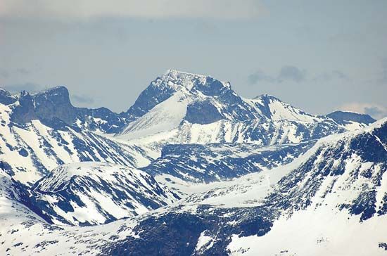
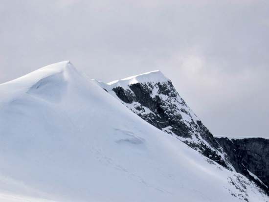
The Jotunheim Mountains in south-central Norway are geologically linked to the ancient volcanic rocks of the Caledonian orogenic belt. This mountain range…
What is the geological history of the Jotunheim Mountains?
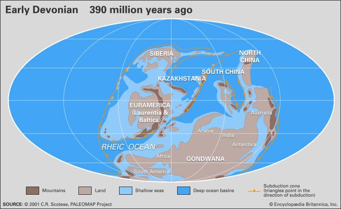
The Jotunheim Mountains in south-central Norway are geologically linked to the ancient volcanic rocks of the Caledonian orogenic belt. This mountain range formed as a result of the closure and destruction of the Iapetus Ocean between the Cambrian and Silurian periods (approximately 542 to 416 million years ago).1
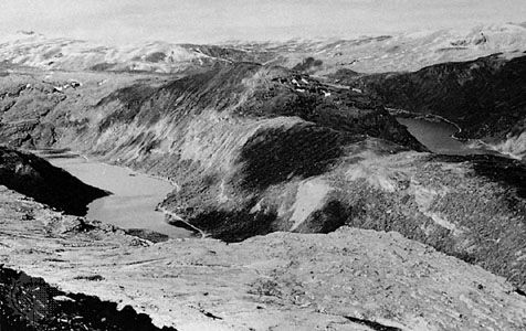
The formation was driven by a major continental collision between a northwestern European landmass and a North American–Greenland continent. This tectonic activity resulted in the uplift and thickening of the Earth’s crust, creating a mountain chain that spans from Ireland and Britain through Norway to Spitsbergen. Subsequent geological processes, including erosion and the extensional collapse of the thickened crust, exposed deep-seated rocks and led to the deposition of sedimentary materials during the Devonian Period. Today, these mountains rise prominently from a plateau situated about 3,000 feet above sea level, representing a significant remnant of this ancient orogenic event.123
What is the average elevation of the Jotunheim Mountains?
The Jotunheim Mountains do not have a single defined average elevation; however, the range is characterized by a high-altitude landscape that rises dramatically from a plateau situated approximately 3,000 feet (900 metres) above sea level.6
As the highest mountain range in Scandinavia, the area contains the tallest peaks on the peninsula, including Galdhø Peak, which reaches 8,100 feet (2,469 metres), and Glitter Mountain, which stands at 8,084 feet (2,464 metres).167
Are there any significant lakes or rivers within the Jotunheim mountain range?
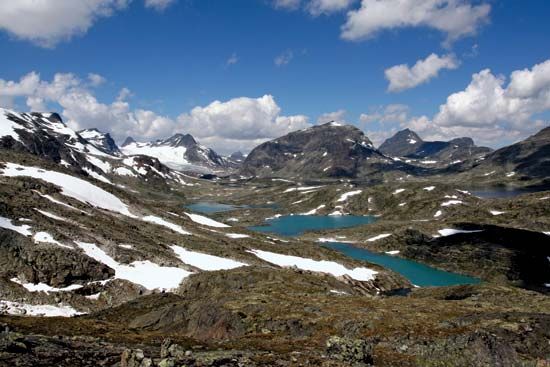
The Jotunheim Mountains are surrounded by numerous lakes, which are a prominent feature of the landscape. A notable example is Lake Gjende, which is situated near the Besseggen Ridge and famously served as a setting in Henrik Ibsen’s drama Peer Gynt.1
Regarding rivers, the broader Lang Mountains region—which encompasses the Jotunheim range—serves as the headwaters for most of the principal rivers in southern Norway. While the Jotunheim area itself is defined by its high-altitude peaks and glacial features, such as the nearby Jostedals Glacier, it acts as a critical hydrological source for the surrounding river systems.21
What role do the Jotunheim Mountains play in Norse mythology?
In Norse mythology, Jötunheim (or Jötunheimar) is the mythical home of the Jötun, a race of giants who were considered the ancient, hostile adversaries of the Aesir gods4. According to tradition, this realm was situated beneath one of the roots of the world tree, Yggdrasill.41
It is important to clarify that while the modern Jotunheim Mountains in Norway share this name, they are a physical geographical feature rather than the literal mythological realm. The name “Jotunheimen,” meaning “Giant’s Home,” was applied to the mountain range in the 1860s, drawing inspiration from the ancient sagas. In mythology, the giants were believed to have ruled before the gods, and it was prophesied that the final battle of Ragnarök—which would result in the destruction and rebirth of the world—would be fought between these two groups.91
Sources
- Jotunheim Mountains — Encyclopædia Britannica
- Lang Mountains — Encyclopædia Britannica
- Caledonian orogenic belt — Encyclopædia Britannica
- Jötun — Encyclopædia Britannica
- East Greenland orogen — Encyclopædia Britannica
- Galdhø Peak — Encyclopædia Britannica
- Glitter Mountain — Encyclopædia Britannica
- Jökulsá á Fjöllum — Encyclopædia Britannica
- Germanic religion and mythology - Dwarfs — Encyclopædia Britannica
- Jotunheim — Merriam-Webster
Published on · 2 min read