Kunlun Mountains
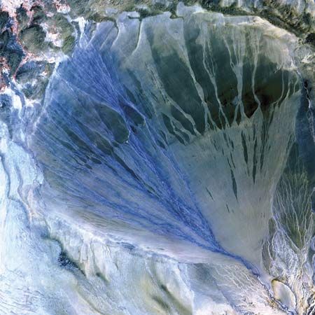
The Kunlun Mountains are characterized by extreme aridity and a reliance on glaciers and snowmelt to feed river systems that support downstream oases.…
How might climate change affect the Kunlun Mountains and surrounding areas in the future?
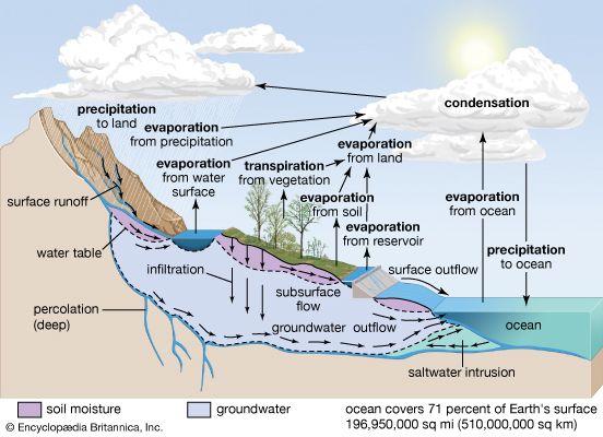
The Kunlun Mountains are characterized by extreme aridity and a reliance on glaciers and snowmelt to feed river systems that support downstream oases. Because these mountains are dominated by a continental air mass and are largely isolated from monsoon influences, their hydrological stability is highly sensitive to temperature fluctuations.12
Climate change poses significant risks to this region. Rising temperatures threaten to accelerate the thawing of permafrost, a process that can trigger positive feedback loops by releasing methane—a potent greenhouse gas—into the atmosphere. Furthermore, the degradation of frozen ground can mobilize heavy metals and pollutants previously trapped in the soil, which are then transported by meltwater into river systems. This chemical loading can degrade water quality, increase pH levels, and severely harm downstream aquatic ecosystems, including fish and insect populations. Given the region’s existing water scarcity, any disruption to the timing or quality of glacial meltwater could have profound consequences for the oases that depend on these mountain streams.31
How do the Kunlun Mountains compare to other major mountain ranges in Asia?
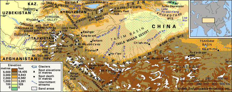
The Kunlun Mountains serve as a massive, 1,250-mile-long rampart in Central Asia, separating the Plateau of Tibet from the Tarim Basin. When compared to other major Asian ranges, their unique characteristics include:42
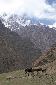
- Prominence: Because the surrounding Plateau of Tibet already sits at an average elevation of 15,000 feet (4,600 metres), the Kunluns do not possess the same visual prominence as other high Asian ranges. Their southern face rises no more than 5,000 feet (1,500 metres) above the plateau, despite containing peaks exceeding 24,000 feet (7,300 metres).452
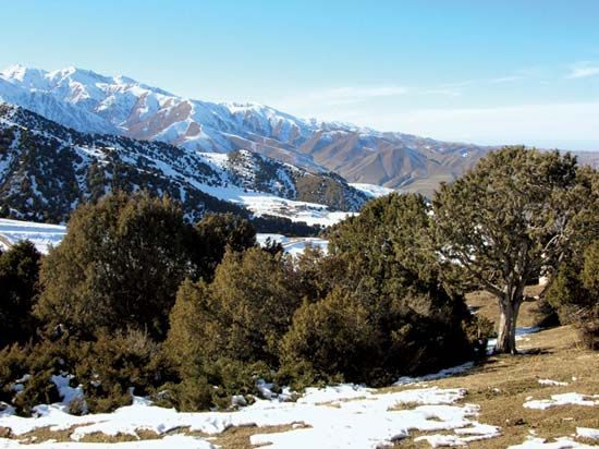
- Climate and Glaciation: Unlike ranges influenced by monsoons, the Kunluns are dominated by a continental air mass, making them extremely arid. Consequently, they exhibit less glaciation than the Tien Shan, which is perpetually snow-covered and features extensive glaciers.621
- Drainage: Most of the system is characterized by internal drainage into the Tarim and Qaidam basins, whereas other ranges may feed major river systems that reach the ocean.1
What is the average elevation of the Kunlun Mountains?
The Kunlun Mountains do not have a single, officially defined average elevation for the entire system. However, the surrounding terrain provides significant context for their height: the Plateau of Tibet to the south averages approximately 15,000 feet (4,600 metres) in elevation, while the plains surrounding the central and eastern reaches of the range lie above 16,000 feet (4,900 metres).45
Because the mountains rise from this already high-altitude base, they lack the dramatic vertical prominence seen in other Asian ranges. While the southern face rises only about 5,000 feet (1,500 metres) above the plateau, the range contains numerous significant peaks, such as Mount Muztag, which reaches 25,338 feet (7,723 metres), and Mount Kongur, which stands at 25,325 feet (7,719 metres).45
What is the geological significance of the Kunlun Mountains in Asia?
The Kunlun Mountains are geologically significant as a major mountain system that marks a critical suture zone in Asia, formed by the collision of continental blocks during the Mesozoic Era.48
Tectonic History
The range is part of the Cimmeride mountain system, which was created when fragments of the Cimmerian continent collided with the Asian landmass. This process, occurring roughly 200 to 220 million years ago, involved the closure of the Paleo-Tethys Ocean. The principal folded structures and granitic rocks of the Kunluns date back to this period of intense mountain building in the Eastern Hemisphere.48
Recent Activity and Structure
While the primary mountain-building events are ancient, the region remains geologically active:
- Recent Movements: The Kunluns are characterized by geologically recent crustal movements, and the area experiences significant seismic activity.8
- Fault Systems: Much of this earthquake activity is associated with the Altun strike-slip fault system, which has been the subject of extensive international study to understand modern tectonic evolution.89
- Inner Depressions: The internal basins of the range, such as the Qaidam Basin, are relatively recent structures, containing sedimentary deposits that are less than 26 million years old.8
Sources
- Kunlun Mountains - Drainage and glaciation — Encyclopædia Britannica
- Kunlun Mountains - Climate of the Kunlun Mountains — Encyclopædia Britannica
- permafrost - Climatic change — Encyclopædia Britannica
- Kunlun Mountains — Encyclopædia Britannica
- Kunlun Mountains - Physiography — Encyclopædia Britannica
- Xinjiang - Relief — Encyclopædia Britannica
- Takla Makan Desert - Physical features — Encyclopædia Britannica
- Asia - Mesozoic events in the Tethysides — Encyclopædia Britannica
- Kunlun Mountains - Geology — Encyclopædia Britannica
- Kunlun Mountains - Study and exploration — Encyclopædia Britannica
Published on · 3 min read