Lempa River
The Lempa River is a significant waterway in Central America that spans approximately 200 miles (320 km). It originates in Guatemala near Esquipulas…
What is Lempa River?
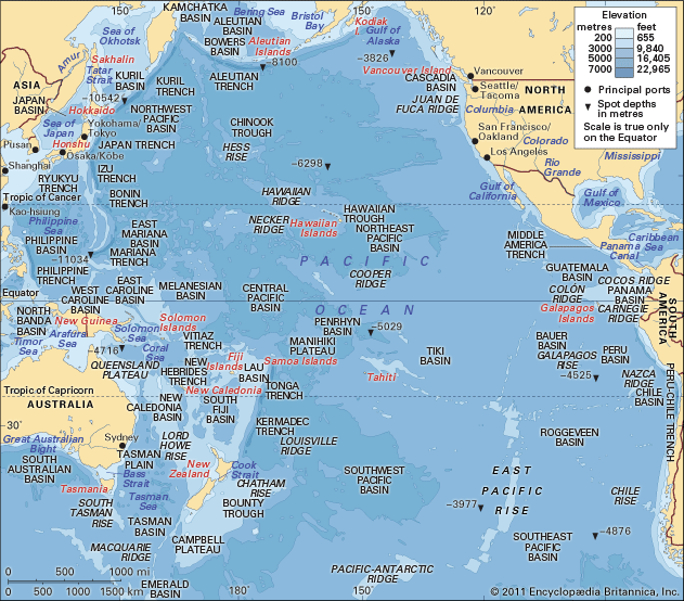
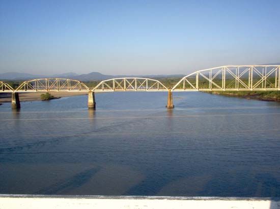
The Lempa River is a significant waterway in Central America that spans approximately 200 miles (320 km). It originates in Guatemala near Esquipulas, traverses a portion of Honduras, and flows through El Salvador, where it serves as the country’s largest and only navigable river before emptying into the Pacific Ocean.1
The river plays a vital role in the region’s infrastructure and economy:
- Energy: Its northern valley hosts hydroelectric projects that provide electricity to a large portion of El Salvador.1
- Agriculture: The southern basin is extensively developed for agriculture, with sisal—a fiber used for cordage—serving as the primary crop.1
How do hydroelectric dams impact the environment?
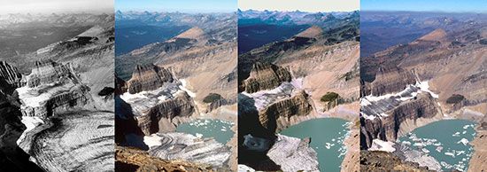
Hydroelectric dams significantly alter the natural environment, often sparking debate between the need for renewable energy and the preservation of ecosystems. While hydropower is a clean, renewable energy source, its environmental impacts are multifaceted.234
Ecological and Landscape Disruption
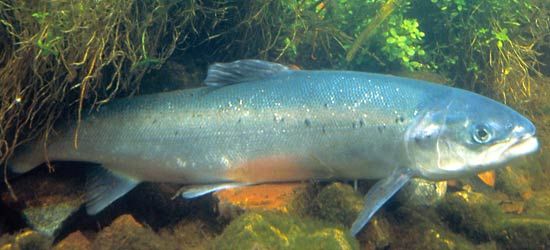
- Fish Migration: Dams frequently block or impede the movement of spawning fish, such as salmon, leading to population declines. Although fish passes like ladders and locks are used to mitigate this, their success is often difficult to sustain.253
- Habitat Loss: The creation of large reservoirs leads to the permanent submersion of pristine landscapes, forests, and cultural sites. This inundation destroys local flora and fauna and has historically forced the relocation of human communities.23
- Sedimentation: Dams trap sediment in reservoirs, which alters downstream river morphology and disrupts natural deposition processes.6
Environmental Byproducts
- Methane Emissions: The decomposition of submerged vegetation in reservoirs can result in the production of methane, a potent greenhouse gas.3
- Water Scarcity: Hydroelectric facilities are vulnerable to drought and changing climate conditions, which can force shutdowns and impact energy reliability.3
What are the main agricultural products of Central America?
Agriculture remains a cornerstone of the Central American economy, providing livelihoods for a significant portion of the rural workforce. The region’s agricultural output is generally divided between traditional subsistence farming and large-scale commercial production for export.8910
Staple Crops
Traditional peasant agriculture focuses on crops grown for domestic consumption, primarily:
Commercial and Export Commodities
Since the mid-19th century, the regional economy has been heavily influenced by the production of goods for foreign markets. Key commercial products include:8
- Coffee: A long-standing primary export.10811
- Bananas: Historically dominated by large international corporations.8911
- Sugar and Sugarcane: A major export commodity.10811
- Cattle and Beef: Significant for both domestic and international trade.108
- Cotton: Historically important, particularly following World War II.108
Nontraditional and Emerging Exports
In recent decades, many countries have diversified their agricultural sectors to include nontraditional commodities, which are increasingly destined for export and urban markets. These include:108
- Fruits and Vegetables1011
- Flowers and Ornamental Plants1011
- Spices: Notably cardamom, of which the region is a major world supplier.1011
- Seafood: Including shrimp, lobster, and various fish species.10911
How does the geography of El Salvador influence its climate?
The climate of El Salvador is fundamentally tropical, but it is significantly moderated by the country’s varied topography and elevation. While the nation is situated entirely on the western side of the Central American isthmus, its landscape—characterized by mountain ranges, volcanic terrain, and river valleys—creates distinct regional climatic variation.1415
Elevation and Temperature
Elevation is the primary factor influencing temperature across the country:
- Pacific Lowlands and Valleys: These lower-lying areas, including parts of the Lempa River valley, experience the warmest conditions, with mean monthly temperatures ranging from the high 70s to mid-80s F (about 25 to 29 °C).14
- Interior and Highlands: As elevation increases, temperatures become more moderate. In cities like San Salvador, located at 2,238 feet, temperatures are cooler than in the lowlands.14
- Mountainous Regions: At elevations above 4,800 feet, the climate is significantly cooler, with mean monthly temperatures typically between the low 60s and low 70s F (about 17 to 22 °C).14
Precipitation Patterns
Geography also dictates rainfall distribution. While the country experiences a dry summer (November to April) and a rainy winter (May to October), annual precipitation varies by location:
- Pacific Lowlands: Average about 65 to 70 inches of rain.14
- Mountain Ranges: Southern and northern ranges at mid-elevations receive higher rainfall, averaging between 70 and 100 inches.14
- Valleys and Plateaus: These areas generally receive the least precipitation, ranging from 45 to 60 inches annually.14
Sources
- Lempa River — Encyclopædia Britannica
- dam - Rise of environmental and economic concerns — Encyclopædia Britannica
- dam - Fish passes — Encyclopædia Britannica
- river - Environments of deposition — Encyclopædia Britannica
- hydroelectric power — Encyclopædia Britannica
- Did you know? — Merriam-Webster
- dam - Construction techniques — Encyclopædia Britannica
- Guatemala - Agriculture, forestry, and fishing — Encyclopædia Britannica
- Central America - Economy and development — Encyclopædia Britannica
- Honduras - Agriculture, forestry, and fishing — Encyclopædia Britannica
- Central America - Geography and climate — Encyclopædia Britannica
- Guatemala - Trade — Encyclopædia Britannica
- Central America - Plants and animals — Encyclopædia Britannica
- El Salvador - Climate — Encyclopædia Britannica
- El Salvador - Land — Encyclopædia Britannica
- El Salvador - Rivers and lakes — Encyclopædia Britannica
Published on · 3 min read