Lot River
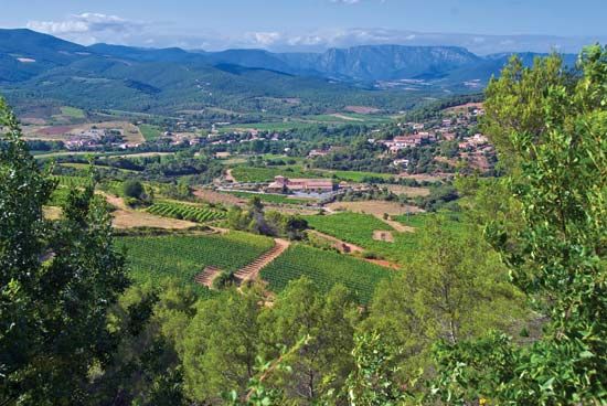
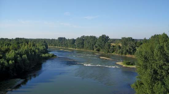
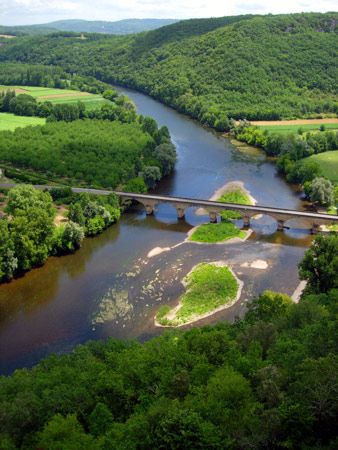
The Lot River is a river located in southern France that flows approximately 300 miles (480 km) in a generally westward direction. It originates in the…
What is Lot River?
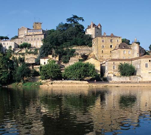
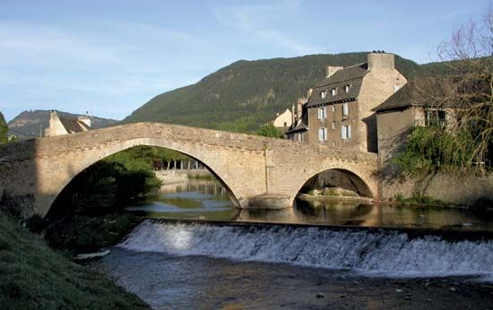
The Lot River is a river located in southern France that flows approximately 300 miles (480 km) in a generally westward direction. It originates in the Cévennes mountains near Mont Lozère and eventually joins the Garonne River near Aiguillon.12
The river drains a basin of about 4,400 square miles (11,400 sq km) and follows a sinuous course, notably cutting through limestone plateaus known as the Causses in a deep gorge. Along its path, it flows past several towns, including Mende, Cahors, and Villeneuve-sur-Lot. At Entraygues-sur-Truyère, it receives the Truyère, a significant tributary that is utilized for hydroelectric power generation. Although the Lot is canalized and navigable for 160 miles (260 km) upstream from the Garonne, it currently sees little use for navigation.1
What is the Garonne River?
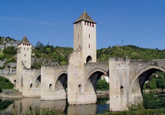
The Garonne River is the most significant river in southwestern France. It rises in the Spanish central Pyrenees within the Maladeta Massif and flows for 357 miles (575 km) before uniting with the Dordogne River to form the vast Gironde Estuary, which eventually empties into the Atlantic Ocean.3
Key characteristics of the Garonne include:
- Course: After flowing through a gorge in the Spanish Val d’Aran, it crosses into France, passes through Toulouse, and winds northwestward toward Bordeaux. Along its journey, it receives several tributaries, including the Ariège, the Tarn, and the Lot River.3
- Navigation and Regulation: The river is not navigable, though it is accompanied by a lateral canal from Toulouse to Castets. It is regulated by 50 locks and is known for being subject to sudden, irregular flooding, with high levels typically occurring in the spring.3
- Basin: The river drains a basin covering approximately 21,600 square miles (56,000 square km).3
How do hydroelectric dams work?
Hydroelectric dams generate electricity by converting the potential energy of stored water into mechanical energy and, ultimately, electricity.5
The process generally functions as follows:
- Water Storage: Dams impound rivers, creating a reservoir at a higher elevation. The vertical distance between the water surface and the turbines is known as the head.5
- Energy Conversion: Water is directed downward through large pipes or tunnels called penstocks. As the water falls, its pressure increases, causing turbines to rotate.65
- Power Generation: These turbines are connected to generators, which convert the mechanical rotation into electrical energy. Transformers then increase the voltage for efficient long-distance transmission.5
- Load Management: Some facilities use pumped-storage systems, where water is pumped back to an elevated reservoir during off-peak hours to be reused during periods of high demand.5
While hydroelectricity is a clean, renewable energy source, it is important to acknowledge that the construction of large dams can have significant negative impacts, including the displacement of human communities and the disruption of fish migration and local ecosystems.75
What are the Causses in France?
The Causses are a series of gorge-gouged limestone plateaus located in southwestern France, forming part of the Massif Central. The name is derived from cau, a local term for “lime.”89
These plateaus are divided into two primary groups:
- Grands-Causses: Located at elevations between 3,000 and 4,000 feet (900 to 1,200 meters), these occupy parts of the Aveyron and Lozère départements.8
- Petits Causses: These are lower limestone plateaus situated further west in the Quercy and Périgord regions.8
The landscape is characterized by bare, karstlike terrain featuring deep canyons carved by the Tarn River and the Lot River. Glacial and water erosion have created surface potholes known as avens, which lead to extensive grottoes.810
The regional economy relies heavily on tourism and sheep rearing. Notably, the caves of the Causses du Larzac are used for the production of Roquefort cheese, while the town of Millau is known for its sheepskin glove industry.8
Sources
- Lot River — Encyclopædia Britannica
- Lot — Merriam-Webster
- Garonne River — Encyclopædia Britannica
- Bordeaux — Encyclopædia Britannica
- Did you know? — Merriam-Webster
- dam - Rise of environmental and economic concerns — Encyclopædia Britannica
- hydroelectric power — Encyclopædia Britannica
- Causses — Encyclopædia Britannica
- Massif Central — Encyclopædia Britannica
- Causses — Merriam-Webster
Published on · 3 min read