Majuro
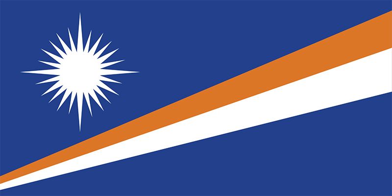
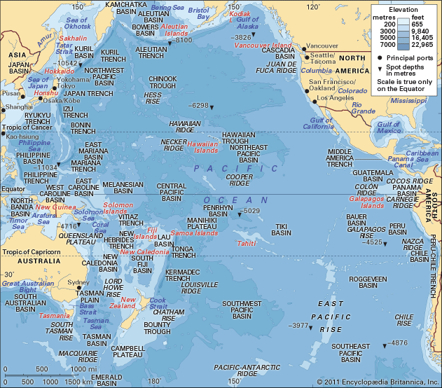
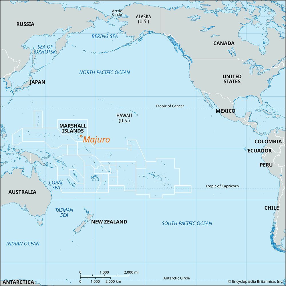
Majuro is an atoll located in the Ratak chain of the Marshall Islands in the western Pacific Ocean. It serves as the capital of the Republic of the Marshall…
What is Majuro?
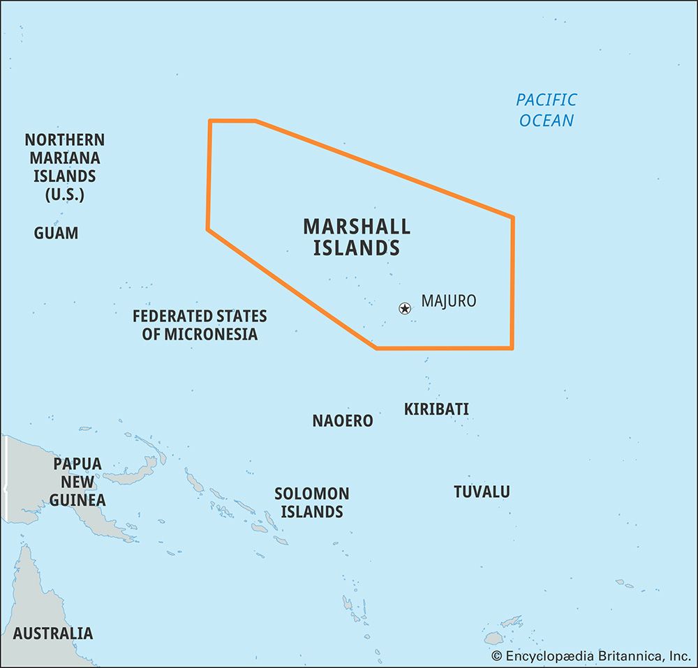
Majuro is an atoll located in the Ratak chain of the Marshall Islands in the western Pacific Ocean. It serves as the capital of the Republic of the Marshall Islands and is the nation’s most populous atoll.12
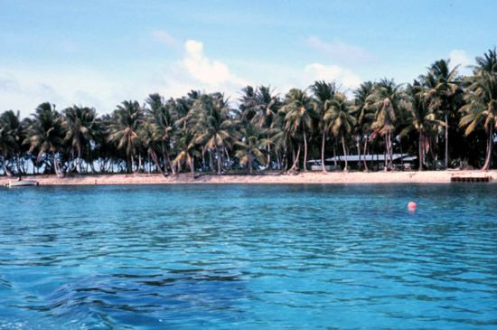
The atoll consists of 64 islets situated on an elliptically shaped reef. Its main settlement, the town of Delap-Uliga-Djarrit, is built on three islands connected by landfills and houses the republic’s government offices. As a primary urban center, Majuro features essential infrastructure, including an international airport, port facilities, and the College of the Marshall Islands.12
Historically, the area has been inhabited since the beginning of the Christian era, with archaeological evidence found in Laura village. Today, Majuro remains a central hub for the country’s population and economy, drawing residents with its modern amenities and employment opportunities.2
What is the difference between an atoll and a typical island?
The primary difference between an atoll and a typical island—often referred to as a high or volcanic island—lies in their geological origin and physical structure.
- Geological Origin: Typical islands are often formed by volcanic activity, rising significantly above sea level with substantial landmasses and mountainous terrain. In contrast, an atoll represents the final stage of a process where a volcanic island subsides into the ocean. As the volcano sinks, coral reefs continue to grow upward, eventually leaving behind only a ring of reef surrounding a central lagoon.45
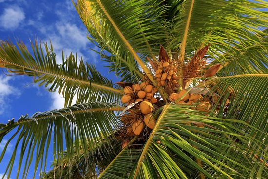
- Structure and Elevation: High islands support diverse ecosystems, including rainforests, due to their varied topography and richer soil. Atolls are low-lying, consisting of narrow strips of flat land formed atop coral reefs. They lack the elevation and geological complexity of volcanic islands, often resulting in poorer soil quality that supports limited vegetation, such as coconut palms.45
- Configuration: While a typical island is a solid landmass, an atoll is a closed or semi-closed shape of reef that encloses a deep central lagoon, effectively functioning as a “saucer” at sea level.56
How do people live on atolls with limited land area?
Living on an atoll requires careful adaptation to limited land and resources. Because these low-lying, narrow strips of land lack the geological complexity of volcanic islands, inhabitants have developed specific strategies to survive:
- Water Management: Atolls have no rivers or streams. Residents rely on a “lens” of fresh water that permeates the coral and sits above the denser salt water. To conserve this, people utilize wells and rainwater storage tanks.8
- Resource Utilization: The lagoons enclosed by the reef are rich in marine life, providing a primary food source for populations that have thrived on these islands for centuries.89
- Soil Constraints: Soils on atolls are limited in depth and quality, making large-scale agriculture difficult. Unlike high islands with fertile volcanic soil, atoll environments are fragile, often supporting only hardy vegetation like coconut palms.85
These communities have demonstrated remarkable resilience by balancing their needs with the delicate, sea-level-dependent nature of their environment.9
What are some traditional navigation methods used by early Marshallese people?
Early Marshallese people were among the most skilled navigators in the Pacific, mastering the art of open-ocean travel in canoes. Because they lived on low-lying atolls with limited resources, their ability to navigate between islands was essential for trade, social connection, and survival after natural disasters.
The most notable traditional navigation tools used by these islanders were stick charts. These were sophisticated mnemonic devices constructed from sticks, fiber, and shells. Rather than serving as maps in the modern sense, these charts functioned as training tools to help navigators memorize and interpret the complex patterns of ocean waves and swells. By understanding how these swells interacted with islands and reefs, navigators could determine their position and direction even when land was far out of sight.
This deep knowledge of the sea allowed Marshallese sailors to maintain connections across vast distances, ensuring the resilience of their communities. Their expertise has also been instrumental in the modern revival of traditional Pacific voyaging traditions, influencing navigators across the region.
Sources
- Majuro — Encyclopædia Britannica
- Marshall Islands: Country Facts — Encyclopædia Britannica
- Marshall Islands — Encyclopædia Britannica
- atoll — Merriam-Webster
- atoll — Encyclopædia Britannica
- Micronesia - Land — Encyclopædia Britannica
- coral reef - Types of coral reefs — Encyclopædia Britannica
- Cook Islands - Relief and drainage — Encyclopædia Britannica
- Cook Islands - Soils — Encyclopædia Britannica
- navigation - Development of marine navigation — Encyclopædia Britannica
- Micronesian culture - The Micronesian way of life — Encyclopædia Britannica
Published on · 3 min read