Marshall Islands
The education system in the Marshall Islands is structured to provide schooling across the nation's inhabited islands and islets through a combination of…
How does the education system work in the Marshall Islands?
The education system in the Marshall Islands is structured to provide schooling across the nation’s inhabited islands and islets through a combination of public and church-run primary schools.1
For secondary education, public schools are available on Majuro and Jaluit atolls. Higher education is also accessible within the country; the College of the Marshall Islands, established in 1993 and located on Majuro, offers various programs that grant certificates and associate degrees.1
What are the main economic activities and challenges faced by the Marshall Islands?
The economy of the Marshall Islands is characterized by a reliance on external financial support and a dual-structure system between urban centers and outer islands.1
Economic Activities
- External Revenue: The primary source of government revenue consists of substantial subsidies provided by the United States under the Compact of Free Association.1
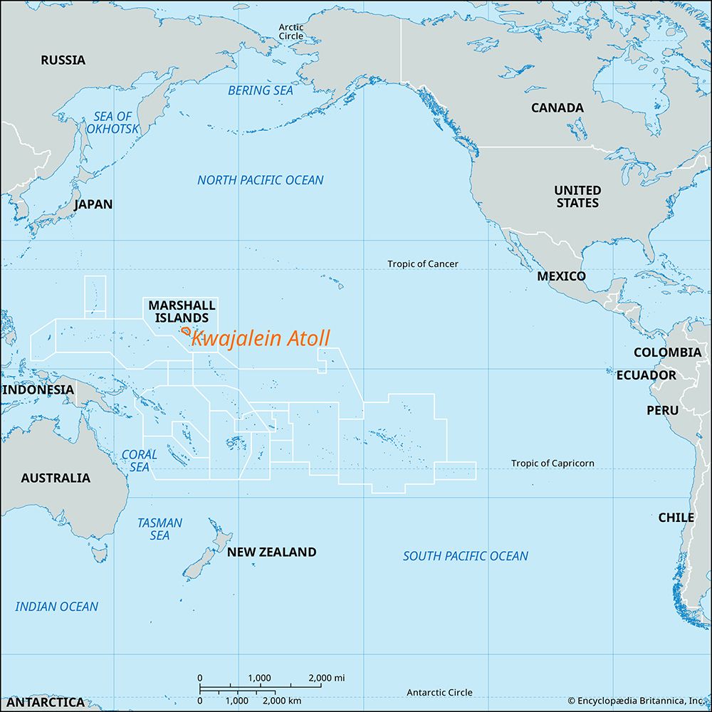
- Strategic Leasing: The republic generates significant income by leasing land to the United States for the operation of a missile testing range on Kwajalein Atoll.1
- Subsistence and Local Production: On the outer islands, the economy is based on subsistence farming and fishing. Major food crops include coconut, pandanus, breadfruit, and taro. The production of copra serves as the chief source of income for these remote areas.1
Economic Challenges
- Urbanization and Unemployment: Employment opportunities and modern amenities in Majuro and Kwajalein act as magnets for migration, leading to urban crowding and high rates of unemployment.13
- Environmental Threats: The nation faces severe risks from global warming. Rising sea levels cause coastal erosion, land loss, and the contamination of the fresh groundwater table, which threatens agriculture.3
- Import Dependency: The country relies heavily on imports, particularly processed foods, fuel, and manufactured goods, which creates a vulnerability to external market fluctuations.1
- Historical Legacy: The long-term health and environmental consequences of U.S. nuclear testing on Bikini and Enewetak atolls have necessitated ongoing cleanup and compensation efforts.143
How did nuclear testing by the United States affect the Marshall Islands and its people?
Between 1946 and 1958, the United States conducted 67 nuclear tests on Bikini and Enewetak atolls, which had devastating consequences for the Marshallese people and their environment.65
Displacement and Health Impacts
To facilitate testing, the U.S. forcibly relocated native inhabitants from their homelands. The 1954 Castle Bravo test, in particular, caused catastrophic harm when radioactive fallout rained down on neighboring atolls that had not been evacuated. Residents suffered from severe burns, radiation sickness, and long-term health issues, including thyroid illnesses, stunted growth in children, miscarriages, and stillbirths. Studies have identified at least 25 medical conditions in the region linked to radiation exposure.672
Environmental and Social Legacy
The testing left the atolls heavily contaminated with radiation, rendering local food sources unsafe and making permanent habitation impossible on affected islands. While cleanup efforts have been ongoing since the late 1960s, resettlement attempts have faced repeated setbacks due to persistent high radiation levels. The U.S. has since established compensation funds for personal injuries and environmental damage, though the legacy of the testing remains a central issue in the nation’s history.675
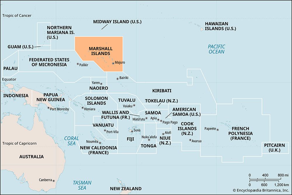
Where are the Marshall Islands located and what is their geographical composition?
The Marshall Islands are located in the central Pacific Ocean and consist of some of the easternmost islands of Micronesia.8
Geographical Composition
The nation is composed of more than 1,200 islands and islets organized into two parallel chains of coral atolls: the Ratak (Sunrise) chain to the east and the Ralik (Sunset) chain to the west. These chains extend approximately 800 miles from northwest to southeast and are separated by about 125 miles.8
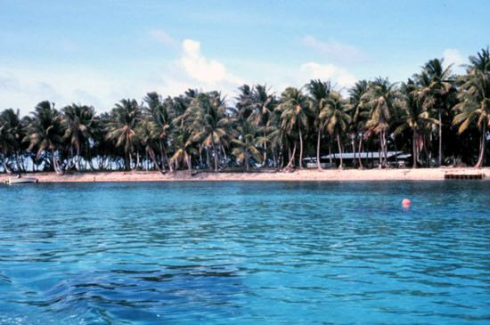
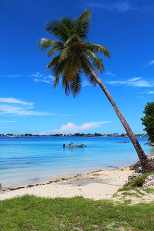
The country comprises 29 low-lying coral atolls and five coral islands, which are essentially coral caps situated on the rims of submerged volcanoes. These landmasses are scattered across roughly 180,000 square miles of the Pacific, though their total land area is only about 70 square miles. None of the islands rise more than 20 feet above high tide. Most of the atolls feature an irregular, oval-shaped coral reef that surrounds a central lagoon.89
Sources
- Marshall Islands — Encyclopædia Britannica
- history of the Marshall Islands — Encyclopædia Britannica
- Micronesia - Economy — Encyclopædia Britannica
- Maldives - Agriculture, forestry, and fishing — Encyclopædia Britannica
- Micronesian culture - Contemporary Micronesia — Encyclopædia Britannica
- Marshall Islands atomic bomb tests — Encyclopædia Britannica
- Bikini — Encyclopædia Britannica
- Majuro — Encyclopædia Britannica
- Marshall Islands — Merriam-Webster
- list of islands - Marshall Islands — Encyclopædia Britannica
- Marshall Islands: Country Facts — Encyclopædia Britannica
Published on · 3 min read