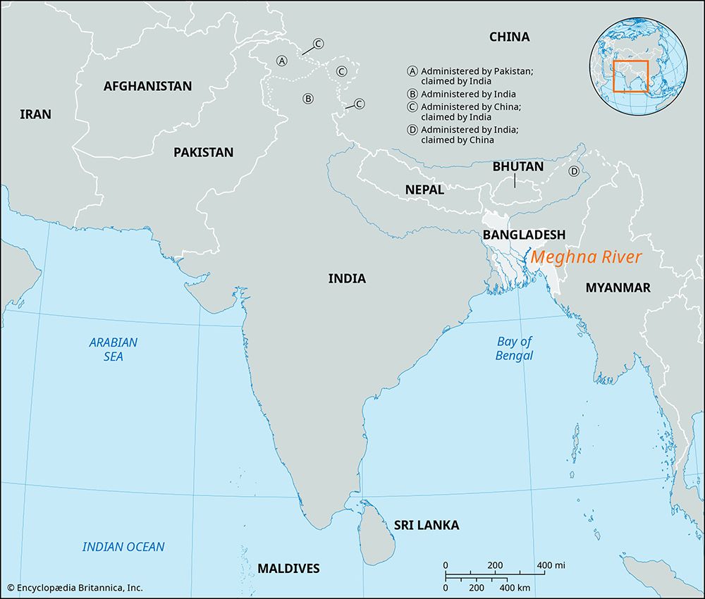
Meghna River
The Meghna River is a major watercourse in Bangladesh that serves as a vital hydrological artery. Based on the available geographical data, the following…
What major cities or towns are located along the banks of the Meghna River?
The Meghna River is a major watercourse in Bangladesh that serves as a vital hydrological artery. Based on the available geographical data, the following locations are situated along its banks:
- Bhairab Bazar: The river is formally recognized as the Meghna downstream from this town, where it receives the waters of the Surma (Barak) River.1
- Chandpur: This city is located near the significant confluence where the Meghna meets the combined waters of the Padma and Jamuna rivers.12
- Azmiriganj: Located in northeastern Bangladesh, this area is near the junction where the Surma is joined by the Kalni and Kusiyara rivers, which contribute to the formation of the Meghna system.2
The river is characterized by its great depth and velocity, and it meanders southward before emptying into the Bay of Bengal through several mouths. Due to the dynamic nature of river systems in this region, channels and banks are subject to frequent shifts.12
What role does the Meghna River play in the formation of the Ganges Delta?
The Meghna River plays a critical role in the Ganges Delta as a primary conduit for the massive volume of water and sediment discharged by the Ganges-Brahmaputra system into the Bay of Bengal into the Bay of Bengal.1
Its contributions to the delta include:
- Confluence and Discharge: Near Chandpur, the Meghna receives the combined waters of the Padma (Ganges) and Jamuna (Brahmaputra) rivers. This unified flow then travels through the delta region, exiting into the sea through the Meghna estuary and several other channels.314
- Sediment Transport: The Ganges-Brahmaputra system carries the world’s highest suspended sediment load—approximately 1.84 billion tons annually. The Meghna acts as a major outlet for these deposits, which are essential for the ongoing seaward growth and formation of the delta.14
- Geomorphological Shaping: The river is characterized by its great depth and velocity, and it actively shapes the landscape by forming its own channels and sandbanks, known as chars. It also serves as the eastern boundary of the Sundarbans, the vast mangrove forest that defines much of the delta’s southern region.314
How does the Meghna River impact Bangladesh’s economy and agriculture?
The Meghna River is a vital component of Bangladesh’s economy and agricultural landscape, primarily through its role in sediment transport and water distribution.
Agricultural Impact
The river system is essential for the replenishment of soil fertility. Each year, between June and October, the rivers of Bangladesh overflow their banks, depositing nutrient-rich silt across the countryside. This process is crucial for sustaining the nation’s agriculture. Furthermore, the river’s dynamic nature leads to the formation of chars—temporary islands and newly deposited lands. These chars are highly fertile and serve as valuable additional areas for cultivation, though they are often the subject of intense social and economic disputes among peasants who compete to occupy them.12
Economic Challenges and Risks
While the river supports agriculture, it also presents significant economic risks:
- Destructive Flooding: The same inundations that replenish soil fertility can cause severe damage to crops, destroy hamlets, and threaten human and animal populations.1
- Navigational Hazards: Although the Meghna is navigable, it is considered dangerous year-round due to its great depth and velocity. During spring tide, the river experiences a tidal bore that can reach nearly 20 feet, posing risks to river traffic.5
- Environmental Vulnerability: The delta region is periodically devastated by tidal surges from tropical cyclones, which can cause catastrophic loss of life and economic infrastructure.2
How is the Meghna River used for transportation and commerce in Bangladesh?
The Meghna River serves as a significant, albeit challenging, watercourse for transportation and commerce in Bangladesh. As a major artery of the Ganges Delta, it facilitates the movement of goods and people across the region, particularly after it receives the combined waters of the Padma and Jamuna rivers near Chandpur.12
However, its utility for commerce is tempered by significant navigational hazards:
- Navigational Risks: While the river is navigable, it is considered dangerous year-round due to its great depth and high velocity.1
- Tidal Hazards: The river is subject to powerful tidal forces. During spring tide, a tidal bore can rush upriver, reaching heights of nearly 20 feet (6 meters), which poses a constant threat to river traffic.1
- Dynamic Morphology: The river frequently splits into multiple channels and forms shifting sandbanks, which can complicate established trade routes and require constant monitoring for safe passage.1
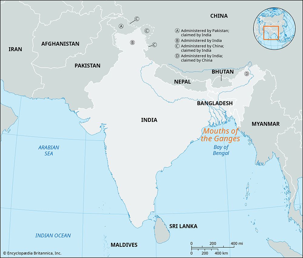
Despite these challenges, the Meghna remains a critical link in the nation’s riverine transport network, connecting various parts of the country to the Bay of Bengal through its four principal mouthsBay of Bengal](https://www.britannica.com/place/Bay-of-Bengal) through its four principal mouths.1
Sources
- Meghna River — Encyclopædia Britannica
- Bangladesh - Rivers of Bangladesh — Encyclopædia Britannica
- Ganges River - Physiography — Encyclopædia Britannica
- Brahmaputra River - Physiography — Encyclopædia Britannica
- Brahmaputra River - Hydrology — Encyclopædia Britannica
Published on · 4 min read