Hatia Islands
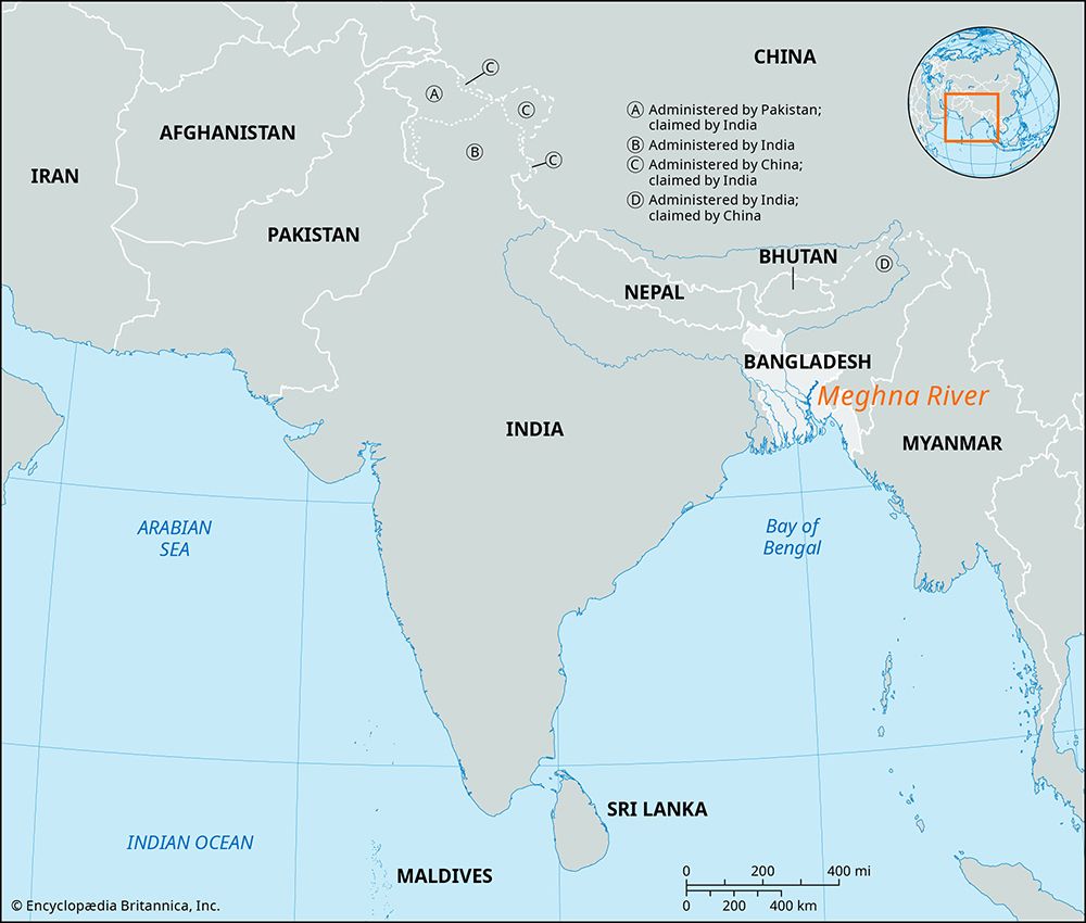
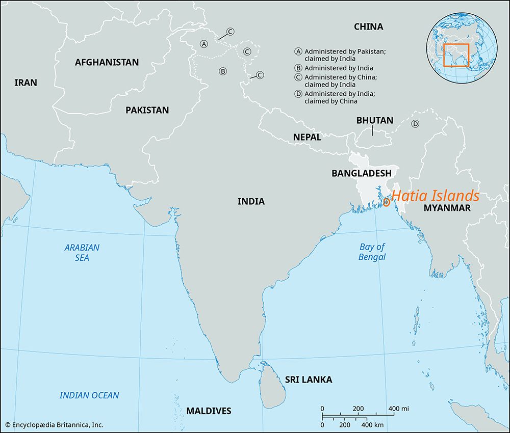
The Hatia Islands are a cluster of islands located in the Meghna River estuary within the Ganges River delta in southeastern Bangladesh.
What is Hatia Islands?
The Hatia Islands are a cluster of islands located in the Meghna River estuary within the Ganges River delta in southeastern Bangladesh.1
The largest island in the group, South Hatia Island, is a low-lying landmass measuring approximately 23 miles long and 4 to 8 miles wide. Because these islands are only partially protected by embankments, they are frequently vulnerable to cyclones and destructive ocean waves.1
Geographically, the group includes a large island to the northwest that divides the Meghna River into two branches: the Shahbazpur River to the west and the Hatia River to the east. Smaller islands are situated to the west of South Hatia Island, and the larger islands in the group maintain ferry connections to the mainland.1
How do cyclones impact the geography of river deltas?
Cyclones significantly alter the geography of river deltas through destructive physical processes and large-scale sediment redistribution. These storms, which frequently impact low-lying deltaic regions, generate powerful tidal surges and high-velocity winds that cause severe erosion and structural damage to the landscape.34
The primary geographic impacts include:
- Inundation and Erosion: Storm surges can breach or overtop natural barriers, leading to the rapid erosion of shorelines and the mainland. These events can cut new washover channels or inlets, fundamentally changing the configuration of the delta in a short period.54
- Sediment Redistribution: While storms are destructive, they also influence depositional patterns. High water levels can drive sand and saline materials inland over marshes and freshwater environments, creating new ridges or altering the composition of deltaic deposits.5
- Destruction of Landforms: In regions like the Ganges-Brahmaputra delta, cyclones periodically bring great destruction, inundating vast areas and threatening the stability of the deltaic plain.36
These events act as powerful agents of landscape evolution, often counteracting the gradual sediment accumulation that typically builds and maintains deltaic landforms.78
What is the significance of the Ganges-Brahmaputra-Meghna delta system?
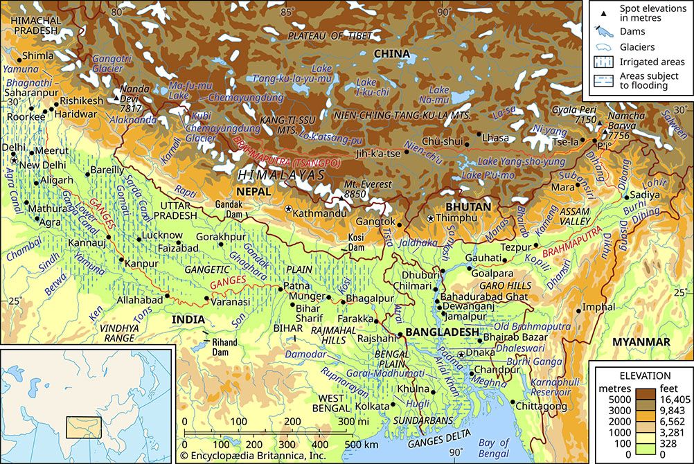
The Ganges-Brahmaputra-Meghna delta system is a vast, dynamic region spanning West Bengal, India, and Bangladesh, serving as the seaward terminus for two of the world’s most significant river systems. Its significance is defined by several critical factors:1011
- Geological and Hydrological Scale: The system carries the world’s highest combined suspended sediment load—approximately 1.84 billion tons annually—and possesses the third-greatest average discharge of any river system globally. This massive sediment deposition continuously reshapes the landscape, creating new islands and landforms known as chars that are vital for local agriculture.1012
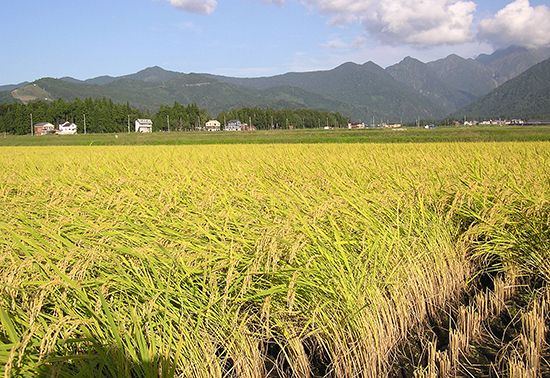
- Economic Importance: The delta is a cornerstone of the regional economy, supporting intensive agriculture, including the production of rice and jute, and extensive aquaculture. Its intricate network of waterways has historically served as a primary transportation artery for trade and regional connectivity.134
- Ecological Value: The seaward edge of the delta hosts the Sundarbans, a massive expanse of tidal mangrove forests. This region is a UNESCO World Heritage site, recognized for its unique biodiversity and role in coastal protection.10
- Human Impact and Vulnerability: Home to hundreds of millions, the delta is one of the most densely populated regions on Earth. It faces significant environmental challenges, including high levels of water pollution, the impacts of climate change, and extreme vulnerability to cyclones and flooding, which periodically cause catastrophic loss of life and property.312
How do people living on low-lying islands adapt to flooding?
People living on low-lying islands and deltaic regions employ a variety of strategies to adapt to the increasing threats of flooding and climate change. These measures focus on both immediate disaster mitigation and long-term resilience:
- Infrastructure and Early Warning: In regions like Bangladesh, communities have invested in building cyclone shelters and establishing robust early warning systems to minimize loss of life during storm surges and extreme weather events.14
- Resource and Agricultural Management: Adaptation efforts often include improving the management of water sources to ensure security during floods or droughts. Additionally, there is a focus on enhancing crop resilience to protect food security in environments where soil salinity and water levels are shifting.15
- Strategic Relocation: In some island nations, such as the Solomon Islands, governments have developed plans to relocate communities from the most vulnerable, low-lying coastal areas to safer, higher ground to mitigate the permanent risks posed by rising sea levels.15
While these local measures are essential for survival, the long-term sustainability of these regions remains a significant challenge due to limited infrastructure and resources.14
Sources
- Hatia Islands — Encyclopædia Britannica
- list of islands - Bangladesh — Encyclopædia Britannica
- Brahmaputra River - Hydrology — Encyclopædia Britannica
- Ganges delta — Encyclopædia Britannica
- lagoon - Storms and catastrophic events — Encyclopædia Britannica
- Hooghly River Cyclone of 1737: Top Questions — Encyclopædia Britannica
- coastal landforms - Deltas — Encyclopædia Britannica
- river - Deposits and stratigraphy — Encyclopædia Britannica
- river - Environments of deposition — Encyclopædia Britannica
- Ganges River - Physiography — Encyclopædia Britannica
- Ganges River - Navigation — Encyclopædia Britannica
- Bangladesh - Agriculture and fishing — Encyclopædia Britannica
- Ganges River - Environmental issues — Encyclopædia Britannica
- Bangladesh - Climate change — Encyclopædia Britannica
- history of Solomon Islands - Climate change concerns — Encyclopædia Britannica
Published on · 3 min read