Continental Divide
The Continental Divide in North America is not a single point with a definitive start or end, but rather a continuous ridge of mountain summits that…
Where does the Continental Divide begin and end in North America?
The Continental Divide in North America is not a single point with a definitive start or end, but rather a continuous ridge of mountain summits that separates the continent’s drainage systems.1
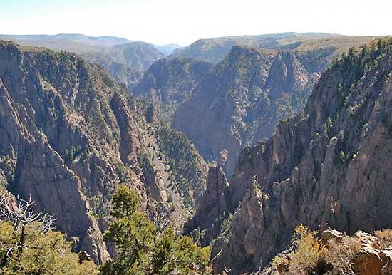
It runs through western North America, primarily following the crest of the Rocky Mountains. Its path includes:1
- Canada: It extends through British Columbia and along the border between British Columbia and Alberta.1
- United States: It traverses the states of Montana, Wyoming, Colorado, and New Mexico1.
- Mexico and Central America: The divide continues southward, generally paralleling the Sierra Madre Occidental and the Sierra Madre del Sur, extending through Central America.1
This divide determines whether water flows eastward toward Hudson Bay and the Atlantic drainage or westward into the Pacific Ocean.1
What is the Continental Divide and how does it affect water flow in North America?
The Continental Divide, also known as the Great Divide, is a continuous ridge of mountain summits that serves as the primary watershed for North America. It acts as a vertical boundary that separates the continent’s drainage systems, determining the ultimate destination of water flow.123
Water falling on the eastern side of this divide flows toward the Atlantic Ocean, primarily via the Mississippi and Rio Grande rivers or into Hudson Bay. Conversely, water on the western side drains into the Pacific Ocean.12
While the divide generally dictates a clear separation, there are unique exceptions like the “Parting of the Waters” in Wyoming’s Teton Wilderness. At this location, Two Ocean Creek forks, sending water to both the Atlantic and Pacific oceans. The divide primarily follows the crest of the Rocky Mountains, stretching from Canada through the United States, Mexico, and into Central America.213
What are some notable hiking trails or scenic routes that follow the Continental Divide?
The most prominent route following the Continental Divide is the Continental Divide National Scenic Trail. This primitive mountain footpath and equestrian trail spans approximately 3,100 miles (5,000 km), stretching from the Canadian border to the Mexican border through a 100-mile-wide corridor.4
Trail Highlights and Geography
The route traverses the Rocky Mountains, passing through diverse biomes ranging from alpine tundra to desert. Key features and locations along the path include:
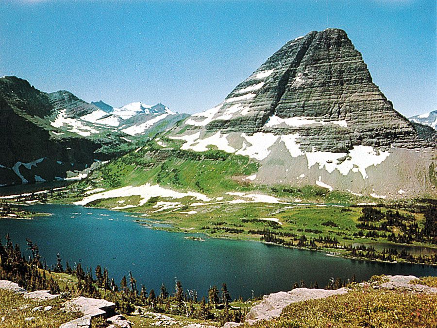
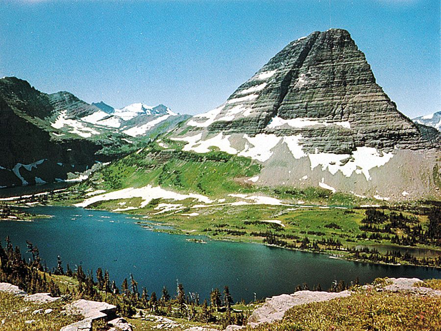
- Northern Terminus: Begins in Glacier National Park, winding among glacial lakes.4
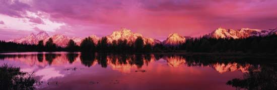
- Notable Landmarks: The trail passes Yellowstone National Park, including the Old Faithful geyser, and runs near Grand Teton National Park.4
- High Elevation: In Rocky Mountain National Park, the trail reaches its highest point at 14,230 feet (4,337 meters).4
- Cultural Sites: The route includes historical areas such as abandoned mining towns, segments of the Oregon Trail, and ancient trade routes in El Malpais National Monument.4
Considered the most rugged and remote of the U.S. national scenic trails, it remains a significant undertaking for hikers, typically requiring about six months to complete the full distance.4
What are some of the major mountain ranges that form the Continental Divide?
The Continental Divide, often called the Great Divide, is primarily defined by the crest of the Rocky Mountains. This continuous ridge of summits serves as the major watershed for North America, separating water that flows toward the Atlantic Ocean or Hudson Bay from water that drains into the Pacific Ocean.15
The divide follows a path through several key regions:
- Canada: It runs through British Columbia and along the border between British Columbia and Alberta, following the Canadian Rockies.1
- United States: It traverses the states of Montana, Wyoming, Colorado, and New Mexico, largely coinciding with the various ranges of the Rockies.15
- Mexico and Central America: The divide continues southward, roughly paralleling the Sierra Madre Occidental and the Sierra Madre del Sur, extending through associated mountain ranges in Central America.1
While the term is most famously associated with the Rockies in North America, it is a general geographical concept applied to the main water parting on any continent.1
Sources
- Continental Divide — Encyclopædia Britannica
- Parting of the Waters — Encyclopædia Britannica
- Continental Divide — Merriam-Webster
- Continental Divide National Scenic Trail — Encyclopædia Britannica
- United States - The Western Cordillera — Encyclopædia Britannica
Published on · 3 min read