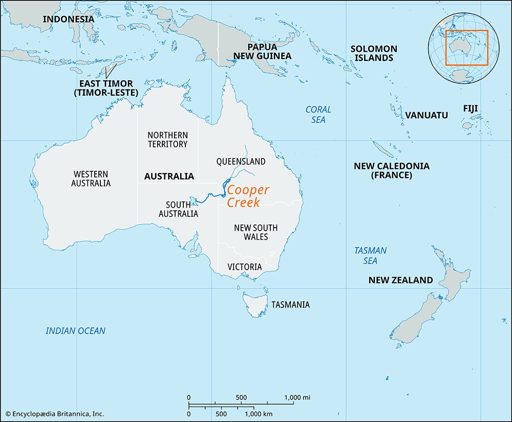
Mulligan River
The Mulligan River is an intermittent stream located in east-central Australia. It rises in the Toko Range of Queensland and flows southeast for…
What is Mulligan River?
The Mulligan River is an intermittent stream located in east-central Australia. It rises in the Toko Range of Queensland and flows southeast for approximately 700 miles (1,100 km) before emptying into Goyder Lagoon near the South Australian border.1
Along its course, the river passes Barrington Peak, widens into a dry salt bed featuring artesian wells, and merges with Eyre Creek near the Muncoonie Lake salt beds. It traverses the pastoral region known as the Channel Country. The river was named in 1876 by William Oswald Hodgkinson in honor of the explorer and prospector James Venture Mulligan.1
What is the Channel Country region?
The Channel Country is a pastoral region covering approximately 60,000 square miles (155,000 square km), primarily located in southwestern Queensland, Australia. It also extends into parts of northeastern South Australia and northwestern New South Wales.2
The region is characterized by flat alluvial terrain and takes its name from the numerous channels carved into its floodplains by rivers during periods of high water. These waterways include the Georgina, Thomson, Diamantina, and Barcoo rivers, as well as Cooper Creek.2
Following annual floods—which can last up to six months—the land produces nutritious grasses, making it highly suitable for cattle grazing. First opened to pastoralists in 1877, the area has since developed into a significant cattle-raising region, supported by the construction of “beef roads” designed to accommodate large, linked cattle trucks.2
How do intermittent streams function in arid climates?
In arid climates, intermittent streams function as dynamic systems that respond directly to irregular or seasonal rainfall. Unlike perennial streams, these channels are dry for much of the year, but they become active when heavy precipitation raises the groundwater table or generates significant surface runoff.78
These streams are characterized by several distinct processes:
- Flash Flooding: Because arid landscapes often feature steep slopes, sparse vegetation, and impervious surfaces, water runs off rapidly, creating abrupt, high-energy torrents known as flash floods.910
- Erosion and Deposition: Intermittent streams are powerful agents of landscape change. They cause significant gullying and can rapidly transport and deposit large volumes of sediment. This process often creates flat-floored trenches called arroyos.78
- Channel Dynamics: As these streams flow downstream, they often become shallower because much of the water is lost to evaporation or percolation into the dry streambed, sometimes resulting in the stream dissipating into a terminal mudflow.78
- Discontinuous Profiles: In some areas, these streams develop “stepped” profiles through processes like piping and headcutting, where water washes out subsoil and creates abrupt drops in the channel bed.7
Who was the explorer James Venture Mulligan?
James Venture Mulligan was an explorer and prospector active in 19th-century Australia. He is primarily remembered for his contributions to the exploration of the Australian interior, which led to the naming of the Mulligan River in his honor by William Oswald Hodgkinson in 1876.1
Sources
- Mulligan River — Encyclopædia Britannica
- Channel Country — Encyclopædia Britannica
- English Channel - Climate — Encyclopædia Britannica
- English Channel - Study and exploration — Encyclopædia Britannica
- United Kingdom - Drainage — Encyclopædia Britannica
- English Channel - Hydrology — Encyclopædia Britannica
- river - Variation of stream regime — Encyclopædia Britannica
- Flash flood: Top Questions — Encyclopædia Britannica
- arroyo — Encyclopædia Britannica
- Flash flood — Encyclopædia Britannica
- Desert - Population and community development and structure — Encyclopædia Britannica
Published on · 2 min read