Muskingum River
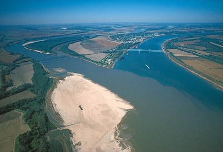
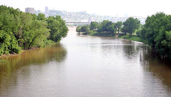
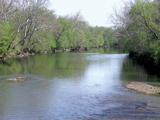
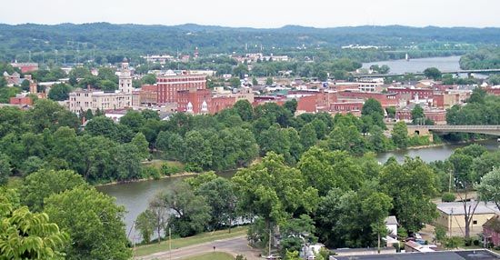
The Muskingum River is a waterway located in east-central Ohio, U.S. It is formed by the confluence of the Tuscarawas and Walhonding rivers at Coshocton.
What is Muskingum River?
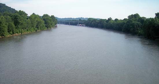
The Muskingum River is a waterway located in east-central Ohio, U.S. It is formed by the confluence of the Tuscarawas and Walhonding rivers at Coshocton.1
The river flows approximately 112 to 120 miles in a south-southeast direction, passing through cities such as Zanesville and McConnelsville before emptying into the Ohio River at Marietta. Its primary tributary is the Licking River, which joins the main stem at Zanesville.12
To manage flooding and ensure navigability, a system of locks, dams, and short canals was constructed along the river, primarily between 1935 and 1941. The name of the river is of Algonquian origin and is believed to mean “by the river”.1
What are the major cities located along the Muskingum River?
Several notable cities and communities are located along the course of the Muskingum River in Ohio:
- Coshocton: Located at the northern end of the river, this is where the Muskingum is formed by the confluence of the Tuscarawas and Walhonding rivers.1
- Zanesville: Situated at the juncture of the Muskingum and Licking rivers, Zanesville has historically served as a significant industrial and transportation hub, known for its pottery industry and the iconic Y Bridge.13
- McConnelsville: A community located along the river’s path as it flows south-southeast toward the Ohio River.1
- Marietta: Positioned at the confluence of the Muskingum and Ohio rivers, Marietta holds historical significance as the first permanent white settlement in Ohio and the first capital of the Northwest Territory.14
How do locks and dams help manage river navigation?
Locks and dams are essential engineering structures used to manage river navigation and control water levels, effectively transforming natural rivers into reliable transportation routes.78
How Locks Work
A lock is an enclosed basin with gates at both ends that allows vessels to move between different water levels. The process functions as follows:9
- Entering: A vessel enters the lock chamber. If moving upstream, the chamber is filled to match the higher water level; if moving downstream, it is emptied to match the lower level.9
- Equalization: Once the water level inside the chamber matches the level of the destination side, the corresponding gate is opened, allowing the vessel to exit.9
- Control: Filling and emptying are managed through sluices or culverts. Modern designs prioritize minimizing turbulence to ensure safe and efficient operation.9
The Role of Dams
Dams are often used in conjunction with locks to create “canalized” rivers. By constructing a series of dams, engineers create a sequence of “steps” or pools of water, which stabilizes the river’s depth and gradient. This process:8
- Facilitates Navigation: It maintains a consistent channel depth, preventing seasonal stoppages caused by drought or low water levels.8
- Controls Flooding: Dams help regulate the flow of water, reducing the risk of floods and protecting the riverbanks.78
- Supports Infrastructure: Many modern canalized rivers also utilize these structures for hydroelectric power generation11.
While these structures are vital for commerce, they can significantly impact local ecosystems, sometimes requiring the addition of fish passes to assist migratory species.1
What role did the Muskingum River play in early Ohio history?
The Muskingum River played a significant role in the early development of Ohio, primarily by serving as a vital corridor for settlement and governance.
Its historical importance is most notably tied to Marietta, which is located at the confluence of the Muskingum and Ohio rivers. In 1788, the Ohio Company of Associates established Marietta as the first permanent white settlement in Ohio. Shortly thereafter, the city became the first capital of the Northwest Territory, with General Arthur St. Clair installed there as the territory’s first governor in July 1788.1
The river’s name, which is of Algonquian origin and likely means “by the river,” reflects the region’s long history of human presence. While the river was later modified with locks and dams to support modern navigation and flood control, its position as a gateway to the interior of the continent was fundamental to the expansion of the United States into the region following the French and Indian War following the French and Indian War.512
Sources
- Muskingum River — Encyclopædia Britannica
- Muskingum — Merriam-Webster
- Zanesville — Encyclopædia Britannica
- Marietta — Encyclopædia Britannica
- Ohio - Economy of Ohio — Encyclopædia Britannica
- Ohio - Drainage — Encyclopædia Britannica
- lock — Encyclopædia Britannica
- Mississippi River - Modern commercial activity — Encyclopædia Britannica
- dam - Fish passes — Encyclopædia Britannica
- canals and inland waterways - Economic significance — Encyclopædia Britannica
- canals and inland waterways - Characteristics of basic types — Encyclopædia Britannica
- Ohio River — Encyclopædia Britannica
Published on · 3 min read