Ohio River
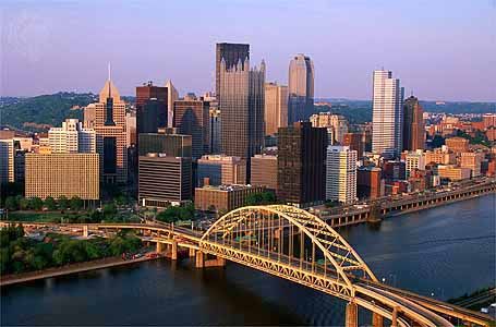
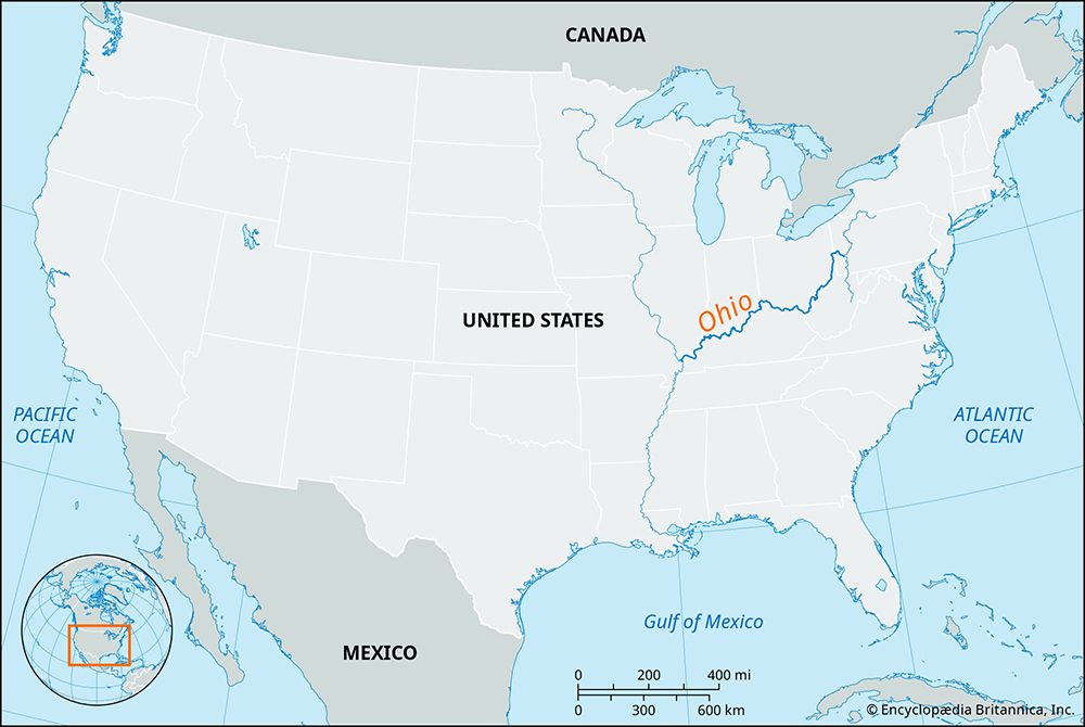
The Ohio River flows for 981 miles (1,579 km) from its formation at the confluence of the Allegheny and Monongahela rivers in Pittsburgh, Pennsylvania, to…
How long is the Ohio River, and what are its major tributaries?
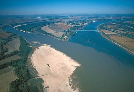
The Ohio River flows for 981 miles (1,579 km) from its formation at the confluence of the Allegheny and Monongahela rivers in Pittsburgh, Pennsylvania, to its junction with the Mississippi River at Cairo, Illinois.1
The river is fed by numerous tributaries from both the north and the south:
- From the south: The Tennessee, Cumberland, Kanawha, Big Sandy, Licking, Kentucky, and Green rivers and Green rivers.1
- From the north: The Muskingum, Miami, Wabash, and Scioto rivers.1
What Native American tribes lived along the Ohio River before European settlement?
The Ohio River valley was home to several distinct cultures long before European arrival. Early inhabitants included the Adena culture (c. 500 BCE–100 CE) and the Hopewell culture (c. 200 BCE–500 CE), both known for constructing elaborate earthen mounds for ceremonial and burial purposes. Following these groups, the Fort Ancient people dominated the region until they were displaced by the Iroquois Confederacy around 1650.456
By the time Europeans arrived in the 17th century, the Ohio River valley was largely unoccupied, serving primarily as hunting grounds and battlegrounds. In the 18th century, various indigenous groups—including the Miami, Huron (Wyandot), Shawnee, Delaware, Iroquois (Mingo), and Ottawa—established villages in the areaOttawa](https://www.britannica.com/topic/Ottawa-people)—established%E2%80%94established) villages in the area. Notably, the Shawnee reunited in the Ohio region after 1725, where they became a significant force in resisting colonial expansion.567
How does the Ohio River contribute to transportation and commerce in the United States today?
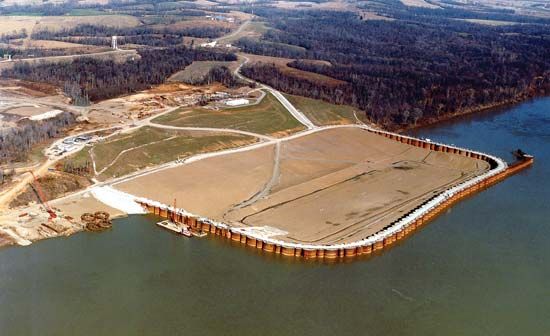
The Ohio River serves as a vital artery for commerce in the United States, functioning as a major navigable waterway that supports the movement of significant industrial and agricultural goods. Maintained at a navigable depth of 9 feet (3 meters), the river facilitates the transport of bulk commodities, including coal, oil, steel, and various manufactured articles. In terms of total tonnage carried, the river is a major commercial corridor that rivals the Panama Canal.81
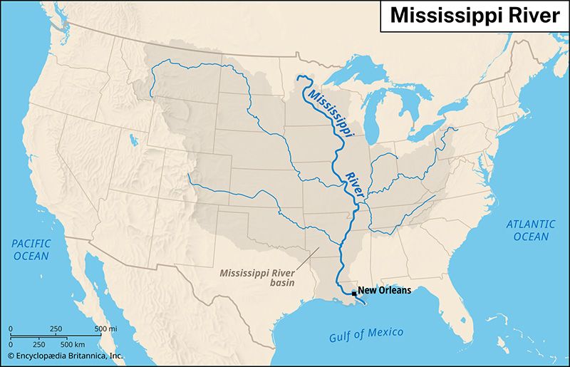
The river’s utility is enhanced by its integration into a broader national network of waterways. It connects to the Mississippi River at Cairo, Illinois, and links to the Great Lakes and the St. Lawrence Seaway through the Illinois waterway. This connectivity allows for the efficient movement of goods across the interior of the country. Despite seasonal fluctuations, the river remains a consistent and essential component of the nation’s transportation infrastructure, supporting the economic activity of numerous port cities along its banks.98
How does the Ohio River Valley’s geology contribute to its importance?
The geology of the Ohio River Valley has been a fundamental factor in the region’s historical and economic development. The valley is situated within the Appalachian Plateau, a region characterized by Paleozoic-age sedimentary rocks, including shales, sandstones, limestones, and extensive coal beds formed during the Carboniferous Period.111
This geological foundation has contributed to the region’s importance in several key ways:
- Resource Wealth: The presence of rich coal deposits, along with natural gas, petroleum, clay, and limestone, provided the raw materials necessary for the growth of heavy industry, particularly steel and ceramics manufacturing.125131
- Topographic Shaping: The valley was carved by ancient rivers and influenced by glacial forces during the Pleistocene Epoch. While glaciers did not cover the southern Appalachians, they reached the Ohio River valley, leaving behind fertile alluvial soils in floodplains that supported early settlement and agriculture.141311
- Strategic Navigation: The river’s course, defined by the surrounding rugged terrain, created a natural transportation corridor that became the primary route for westward expansion and remains a vital artery for modern commercial shipping.15511
Sources
- Ohio River — Encyclopædia Britannica
- Allegheny River — Encyclopædia Britannica
- drainage basin — Encyclopædia Britannica
- Native American - Eastern Woodland cultures — Encyclopædia Britannica
- Ohio - Prehistory and settlement — Encyclopædia Britannica
- Shawnee — Encyclopædia Britannica
- West Virginia - History of West Virginia — Encyclopædia Britannica
- Mississippi River - Modern commercial activity — Encyclopædia Britannica
- Mississippi River — Encyclopædia Britannica
- Ohio - Transportation — Encyclopædia Britannica
- Ohio - Land — Encyclopædia Britannica
- Ohio - Resources and power — Encyclopædia Britannica
- Ohio - Economy of Ohio — Encyclopædia Britannica
- Ohio - Relief — Encyclopædia Britannica
- West Virginia - Drainage and soils — Encyclopædia Britannica
- Allegheny Plateau — Encyclopædia Britannica
- Appalachian Mountains - Geology of the Appalachian Mountains — Encyclopædia Britannica
Published on · 3 min read