Potwar Plateau
The Potwar Plateau, located in Pakistan’s Punjab province, supports a diverse range of economic activities, though its challenging, eroded terrain often…
What are the primary economic activities and industries in the Potwar Plateau region?
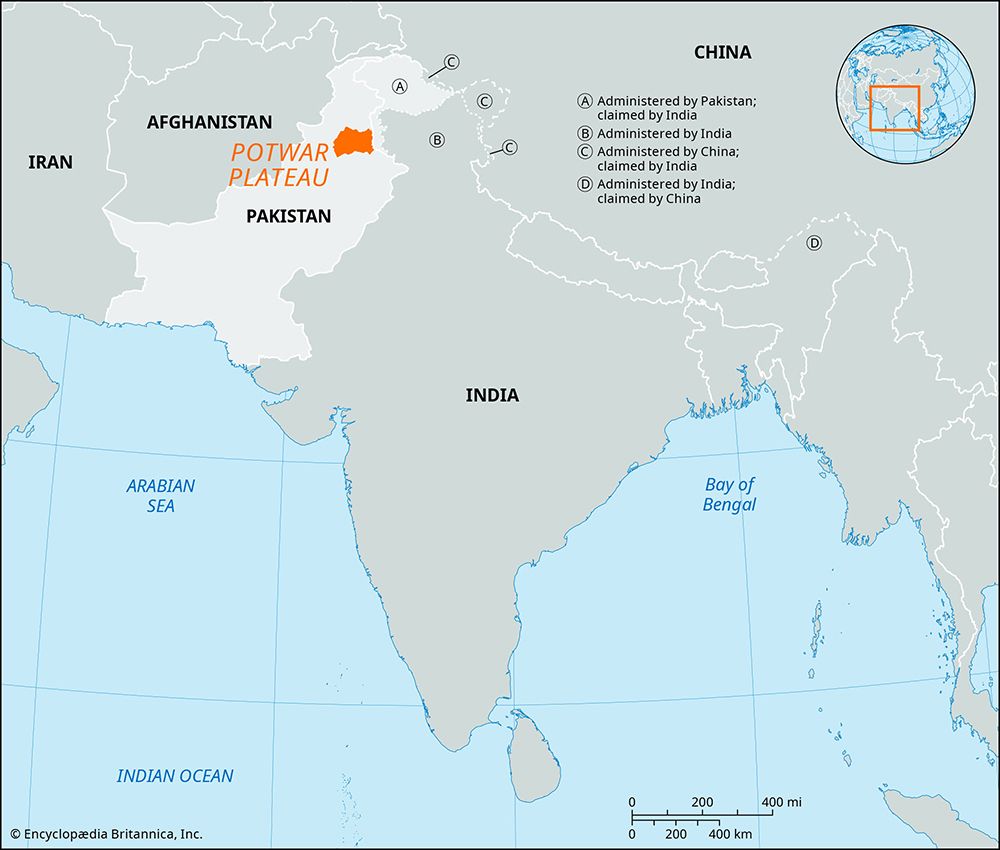
The Potwar Plateau, located in Pakistan’s Punjab province, supports a diverse range of economic activities, though its challenging, eroded terrain often limits agricultural productivity.
Agriculture
Agriculture in the region is largely rain-dependent, as local streams are typically deep-set and unsuitable for irrigation. The primary crops include:12
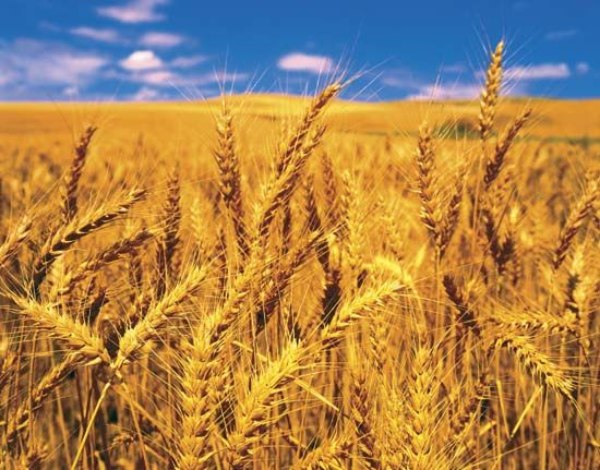
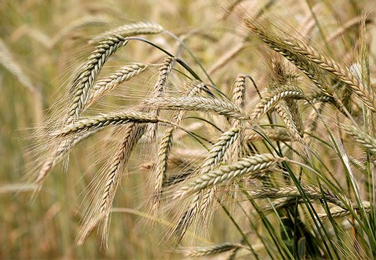
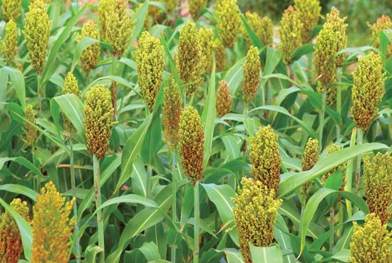
- Staple grains: Wheat, barley, sorghum, corn (maize), and millet.13
- Other produce: Legumes, onions, melons, and tobacco, which are cultivated in more fertile areas near the Indus River.1
- Specialized farming: The capital area of Islamabad includes dairy, poultry, and vegetable farms.4
Industry and Commerce
The region is a significant industrial and administrative hub, particularly around the twin cities of Rawalpindi and Islamabad.
- Energy: The plateau is home to major oil fields, including those at Khaur, Dhulian, and Tut, with pipelines connecting them to a refinery in Rawalpindi.1
- Manufacturing: Rawalpindi serves as a major industrial center with facilities for locomotive works, gasworks, iron foundries, and sawmills. It also hosts textile, cotton, and hosiery mills, alongside the production of leather goods, shoes, pottery, newsprint, and tents.3
How has human settlement and agriculture shaped the landscape of the Potwar Plateau?
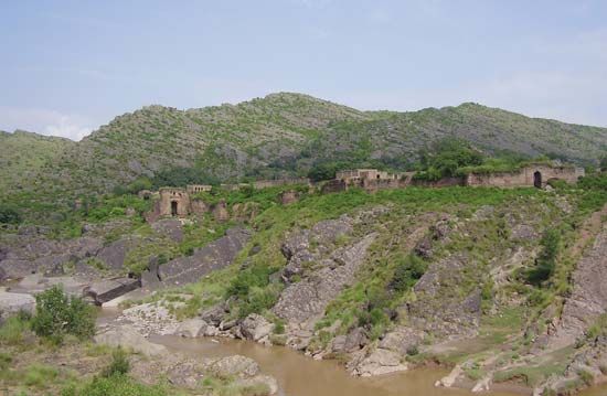
Human settlement and agricultural practices have significantly influenced the landscape of the Potwar Plateau, a region characterized by its rugged, eroded terrain.
Impact of Settlement
The plateau is one of the most densely populated areas in Pakistan, a factor that places excessive pressure on its limited natural resources. The development of major urban centers, most notably the ancient city of Rawalpindi and the planned national capital, Islamabad, has concentrated human activity in the northern plains. Furthermore, the region’s industrialization—driven by the extraction of oil from fields like Khaur and Dhulian—has necessitated the construction of infrastructure, such as pipelines, which further integrates human activity into the plateau’s geography.14
Agricultural Shaping
Agriculture in the Potwar Plateau is constrained by the landscape’s natural features. Because local streams are deep-set and unsuitable for irrigation, farming is largely dependent on rainfall. This reliance has led to a landscape where cultivation is practiced primarily in areas capable of sustaining rain-fed crops like wheat, barley, and sorghum. The combination of intensive human land use and the region’s naturally dissected, ravine-filled terrain creates a challenging environment where soil erosion remains a constant concern.14
How was the Potwar Plateau formed, and what are its main geological features?
The Potwar Plateau is a tableland located in Pakistan’s Punjab province, situated between the Indus River and the Jhelum River. Its formation and physical character are defined by several distinct geological features:15
Geological Composition and Formation
- Structural Makeup: The plateau is composed primarily of soft Shiwalik beds. Its surface is largely covered by windblown loessic silt, which transitions into sand and gravel near the hill slopes.5
- Residual Features: The region features a system of residual hills and hillocks, which are remnants of glacial debris from the Ice Age.1
- Downwarping: The central portion of the plateau is characterized by the structurally downwarped basin of the Soan River.5
Key Geological Features
- Topography: The landscape is highly dissected by erosion, resulting in a terrain of interlaced ravines known locally as khaderas. Because of constant rejuvenation, the local streams are deep-set, making them largely unsuitable for irrigation.15
- Boundaries: The plateau is bounded to the north by the Hazara Hills, the Kala Chitta Range, and the Margala Hills. To the south, it is bordered by the Salt Range, a highly upheaved block of the Indian Platform.145
What are the major rivers and water sources in the Potwar Plateau?
The Potwar Plateau is defined by its position between two major river systems, though its internal water resources are limited for agricultural use.
Major Rivers
- Indus River: This major river forms the western boundary of the plateau.14
- Jhelum River: This river serves as the eastern boundary of the plateau.14
- Soan River: Occupying the central portion of the plateau, the Soan River flows through a structurally downwarped basin.14
- Haro River: Along with the Soan, the Haro River crosses the plateau from the eastern foothills toward the Indus.1
Water Sources and Characteristics
The plateau’s hydrology is characterized by streams that are deeply set into the landscape due to constant rejuvenation and erosion. Because these streams are typically located within dissected ravine belts, they are generally unsuitable for irrigation.14
Consequently, agriculture in the region is primarily dependent on rainfall, which averages between 15 and 20 inches (380 to 510 mm) annually. This precipitation is highest in the northwest and declines toward the arid conditions found in the southwest.14
Sources
- Potwar Plateau — Encyclopædia Britannica
- Rawalpindi — Encyclopædia Britannica
- Islamabad — Encyclopædia Britannica
- Pakistan - The submontane plateau — Encyclopædia Britannica
- Salt Range — Encyclopædia Britannica
- Indus River - Hydrology of the Indus River — Encyclopædia Britannica
Published on · 4 min read