Rhätikon Mountains
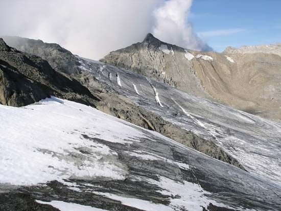
The Rhätikon Mountains are a mountain group belonging to the Rhaetian Alps. This range straddles the borders of eastern Switzerland (Graubünden canton)…
What is Rhätikon Mountains?
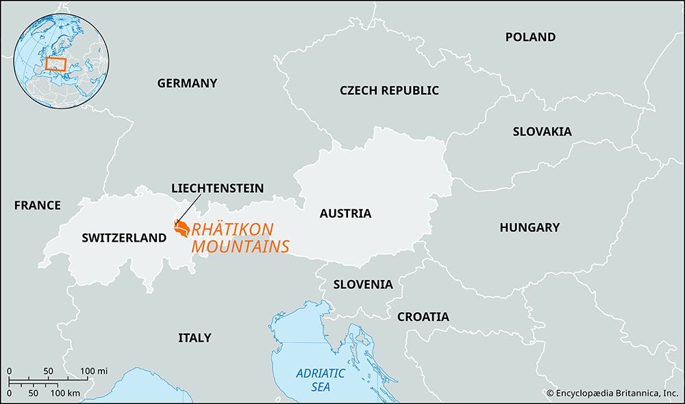
The Rhätikon Mountains are a mountain group belonging to the Rhaetian Alps. This range straddles the borders of eastern Switzerland (Graubünden canton), western Austria (Vorarlberg), and southern Liechtenstein.12
Geographically, the group serves as a divide between the Montafon valley to the northeast and the Prätigau valley to the southwest. Its highest point is the Schesaplana, which reaches an elevation of 9,724 feet (2,964 meters) and is situated on the border between Austria and Switzerland. Today, the region relies primarily on tourism as its main economic base.1
What are the Rhaetian Alps?
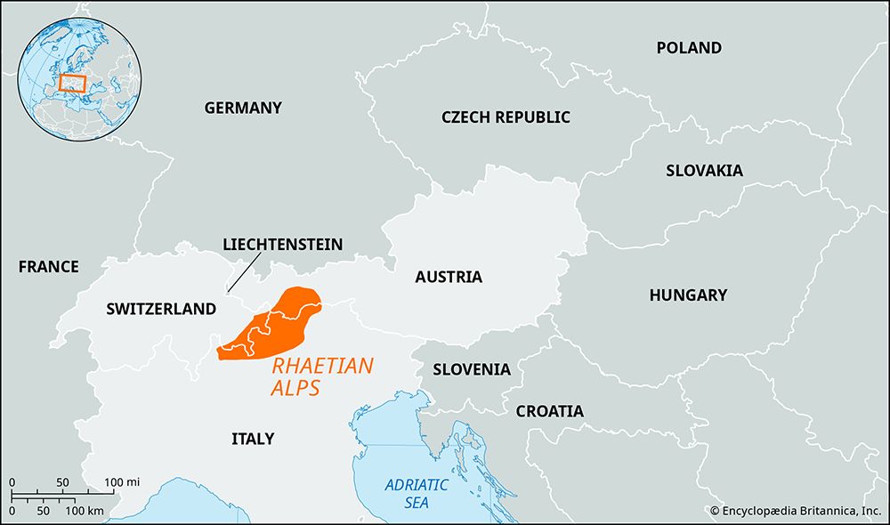
The Rhaetian Alps are a major segment of the Central Alps, primarily located in the Graubünden canton of eastern Switzerland, while also extending along the borders of Italy and Austria.21
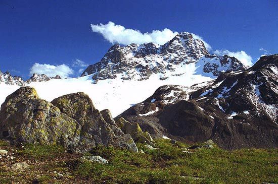
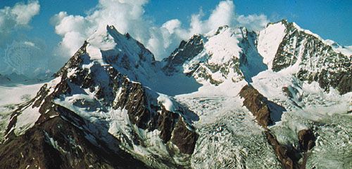
The range is defined by several prominent subranges, including the Silvretta, Rhätikon, Albula, and Bernina Alps. The highest point in the entire system is Bernina Peak, which reaches an elevation of 13,284 feet (4,049 meters) on the Italian border. The region is characterized by the Engadin valley, which cuts through the mountains, and it houses the Swiss National Park, renowned for its rugged scenery and diverse wildlife.2
Economically, the area has been significantly transformed by the development of tourism since World War II. The mountains host numerous health resorts and winter sports centers, which have become vital to the local economy by providing service-sector employment in remote valleys.23
How does the Schesaplana peak compare to other Alpine summits?
The Schesaplana peak, standing at 9,724 feet (2,964 meters), serves as the highest point of the Rhätikon Mountains, a subrange of the Rhaetian Alps.
When compared to the broader Alpine system, the Schesaplana is considered a moderate-to-high elevation summit. While it is the tallest peak in its specific mountain group, it is significantly lower than the highest summits of the Alps, such as Mont Blanc, which reaches 15,771 feet (4,807 meters), or the Bernina Peak within the Rhaetian Alps themselves, which stands at 13,284 feet (4,049 meters). Its elevation places it well above the tree line, contributing to the rugged, high-alpine landscape that supports the region’s tourism industry.1
What makes the geography of Liechtenstein unique?
The geography of Liechtenstein is defined by a striking contrast between its rugged eastern highlands and its western riverine lowlands.
Topography and Landscape
The eastern two-thirds of the principality are dominated by the foothills of the Rhätikon Mountains, a segment of the central Alps. This area is characterized by high elevations, with much of the country sitting above 6,000 feet (1,800 meters) and reaching its highest point at the Grauspitz (8,527 feet). In contrast, the western section is occupied by the Rhine River floodplain, which forms a fertile, triangular lowland that has been reclaimed for agriculture through historical drainage efforts.5
Climate and Ecology
Despite its mountainous terrain, Liechtenstein enjoys a mild climate significantly influenced by the foehn, a warm southerly wind. This unique microclimate allows for the cultivation of crops like grapes and corn, which is unusual for such a high-altitude region. The country also boasts a remarkable variety of vegetation and wildlife, ranging from alpine flowers and evergreen forests to diverse fauna such as chamois and marmots.5
Sources
- Rhätikon Mountains — Encyclopædia Britannica
- Rhaetian Alps — Encyclopædia Britannica
- Rhaetian Alps — Merriam-Webster
- Alps - Tourism — Encyclopædia Britannica
- Liechtenstein — Encyclopædia Britannica
- Liechtenstein - Geography — Encyclopædia Britannica
- Liechtenstein - History of Liechtenstein — Encyclopædia Britannica
Published on · 2 min read