Humber River
There are two distinct geographical features known as the Humber River:
What is Humber River?
There are two distinct geographical features known as the Humber River:
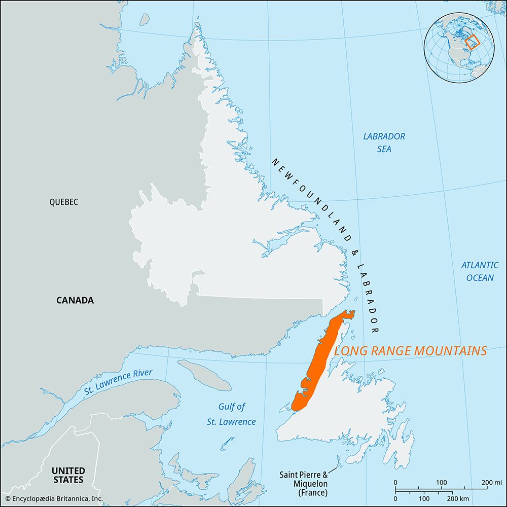
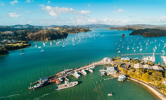
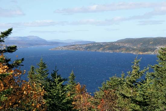
- Humber River (Newfoundland): This river rises in the Long Range Mountains and flows 75 miles (121 km) southward through lakes, including Deer Lake, before reaching the Bay of Islands at Corner Brook. It is a vital region for salmon fishing, lumbering, and hydroelectric power generation.1
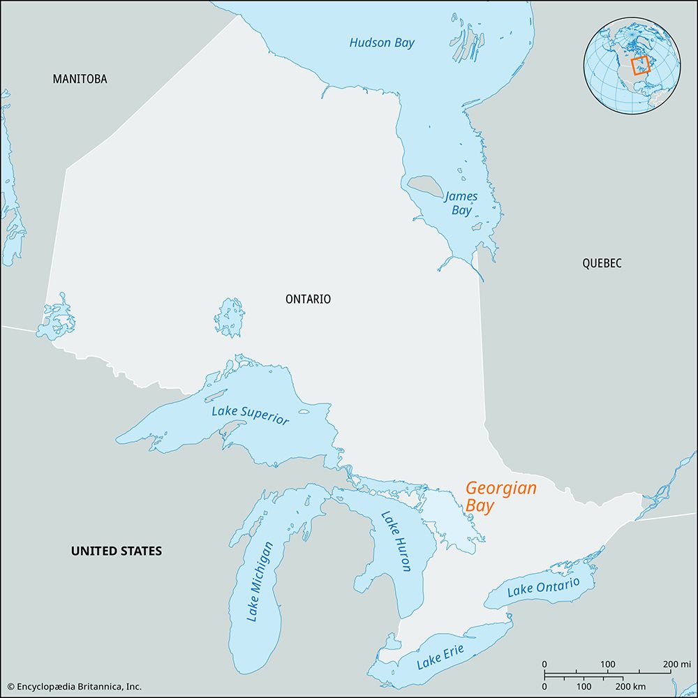
- Humber River (Toronto): Located in Ontario, this river flows into Lake Ontario. Historically, it served as a crucial trade route for First Nations peoples via the Toronto Passage, which provided a shortcut to Georgian Bay. The mouth of this river was also the site of early French fur trading posts.23
Additionally, the River Humber in England is a major deepwater estuary on the east coast that forms the boundary between Yorkshire and Lincolnshire.4
How do rivers shape the development of cities?
Rivers have been fundamental to the development of cities for millennia, serving as the lifeblood for both ancient “hydraulic civilizations” and modern urban centers.
Early Settlements and Agriculture
The earliest permanent settlements, such as those in the Tigris-Euphrates and Nile valleys, emerged because rivers provided the water and fertile floodplains necessary for agriculture. These environments allowed for food surpluses, which freed portions of the population from subsistence farming and enabled the rise of towns. These communities often developed sophisticated engineering to manage irrigation and flood defense, which required strong social and political structures.5
Trade, Communication, and Industry
Rivers have historically acted as the primary corridors for exploration, trade, and conquest. In medieval Europe, control of river crossing points led to the rise of “bridge towns,” while rivers simultaneously provided water for consumption, waste disposal, and power.5
In modern times, rivers continue to shape urban geography by:
- Facilitating Transport: Major waterways serve as vital freight routes, with many national capitals strategically located along sizable rivers.56
- Power Generation: Rivers support industrial growth by providing water for cooling and hydroelectric power generation.6
- Economic Hubs: While large-scale freight has shifted toward estuarine ports, rivers remain central to regional economies, supporting fisheries, recreation, and manufacturing.6
What is the difference between a river and an estuary?
A river is a natural, flowing watercourse that typically carries fresh water toward an ocean, sea, lake, or another river. In contrast, an estuary is a partly enclosed coastal body of water where fresh water from a river meets and mixes with seawater.78
The fundamental differences include:
- Composition: Rivers are primarily composed of fresh water, whereas estuaries are defined by their salinity, containing a mixture of fresh and salt water.98
- Definition: While a river is defined by its flow and path, an estuary is defined by its chemical and physical environment—specifically the dilution of salt water by fresh water.8
- Geography: Rivers are linear, flowing channels. Estuaries are often broader coastal features, such as bays, fjords, or tidal flats, formed by rising sea levels or geological subsidence that allows the ocean to inundate river valleys.108
Because they trap nutrients, estuaries are often more biologically productive than the rivers that feed them or the open sea they join.8
How did the last glacial age change North American landscapes?
The last glacial age, specifically the Wisconsin glaciation, profoundly reshaped the North American landscape through massive erosion and the deposition of glacial debris.1213
Glacial Erosion and Landforms
Continental ice sheets scoured the land, deepening and widening preexisting river valleys and creating vast basins. This process formed the Great Lakes and the Finger Lakes, while also sculpting deep fjords along northern coastlines. In mountainous regions, glaciers carved U-shaped valleys and left behind sharp erosional remnants.131415
Deposition and Soil Formation
As the ice retreated, it left behind extensive deposits of till and moraines, which define much of the modern topography, including features like Long Island and streamlined hills called drumlins. Meltwater also created sinuous ridges known as eskers and vast, flat lake plains, such as those of Lake Agassiz. Furthermore, windblown glacial silt, or loess, settled across the Midwest, forming the region’s highly fertile soils.141512
Crustal and Hydrological Changes
The immense weight of the ice depressed the Earth’s crust. Following the retreat of the ice, the land began a slow process of isostatic rebound, which continues to alter drainage patterns and lake levels today. Additionally, the diversion of meltwater and the formation of temporary proglacial lakes triggered catastrophic floods that carved dramatic features like the Channeled Scabland.14151316
Sources
- Humber River — Encyclopædia Britannica
- River Humber — Encyclopædia Britannica
- Toronto - City site — Encyclopædia Britannica
- Toronto - Early settlement — Encyclopædia Britannica
- river - Significance in early human settlements — Encyclopædia Britannica
- river - Significance to trade , agriculture, and industry — Encyclopædia Britannica
- estuary — Merriam-Webster
- river - Origin and classification — Encyclopædia Britannica
- Did you know? — Merriam-Webster
- river — Merriam-Webster
- estuary — Encyclopædia Britannica
- North America - The lowlands of North America — Encyclopædia Britannica
- North America - The past 2.5 million years — Encyclopædia Britannica
- Quaternary - Landforms — Encyclopædia Britannica
- Arctic - Continental ice sheets of the past — Encyclopædia Britannica
- Pleistocene Epoch - Fluvial environments — Encyclopædia Britannica
- Great Lakes - Geology — Encyclopædia Britannica
Published on · 3 min read