River Tees
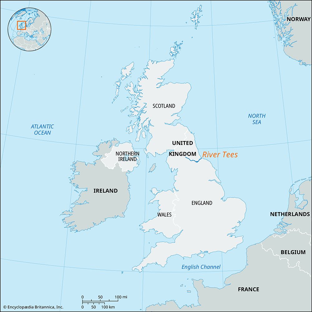
The River Tees is approximately 70 miles (110–113 km) long. Rising on Cross Fell in the northern Pennines, it flows eastward to the North Sea flows eastward…
What is the total length of the River Tees, and how does it compare to other major rivers in England?
The River Tees is approximately 70 miles (110–113 km) long. Rising on Cross Fell in the northern Pennines, it flows eastward to the North Sea flows eastward to the North Sea.123
In the context of English geography, the Tees is categorized among the rivers that rise in the Pennines and follow a long course eastward to the North Sea, alongside rivers such as the Tyne, Trent, and Aire. Unlike some other major English river systems that coalesce into large, shared estuaries—such as those draining into the Humber or the Wash—the Tees flows independently to the sea. While it is a significant river in northeastern England, it is notably shorter than the River Thames, which is recognized as the longest river in England.34
How has the River Tees been used for transportation and trade throughout history?
The River Tees has served as a vital artery for trade and transportation in northeastern England, evolving from a natural waterway into a major industrial hub.
Early Development and Navigation
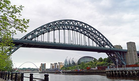
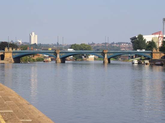
Historically, the river’s lower reaches were characterized by shifting channels and mudflats, which complicated navigation until the 19th century. Stockton-on-Tees emerged as a significant market town and port, with its importance bolstered by the construction of a stone bridge in 1769. To improve access, the river’s tortuous channel below Stockton was later straightened by artificial cuts.
The Railway and Industrial Transformation
The landscape of trade changed dramatically with the 1825 opening of the Stockton and Darlington Railway, the world’s first passenger railway, which connected the river to the Durham coalfield. This infrastructure spurred the development of Middlesbrough in 1830 as a dedicated coal-exporting port. Following the discovery of ironstone in 1850, the riverfront became a center for heavy industry, including blast furnaces and ironworks.
Modern Trade
Today, large areas along the estuary have been reclaimed to house industrial sites and Teesport, which remains one of Britain’s busiest ports, handling general cargo and supporting diverse economic activities.
Are there any notable waterfalls or geological features along the River Tees?
The River Tees features several notable geological landmarks, particularly in its upper course where it flows through the Pennines.
Waterfalls and Geological Formations
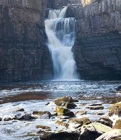
As the river traverses the hard dolerite outcrop known as the Whin Sill, it creates two prominent waterfalls:
- High Force: One of the most famous waterfalls in England, where the river plunges over the resistant rock formation.
- Caldron Snout: Another significant waterfall located where the river crosses the same dolerite outcrop.
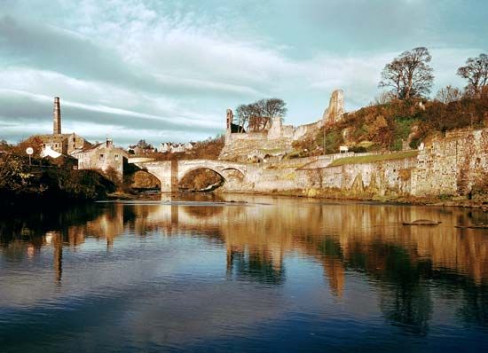
These features are situated within Teesdale, an upland area characterized by bleak basalt and limestone moorlands. The landscape of the upper dales is defined by these rugged geological structures, which contrast with the broader, fertile clay plains found further downstream near Barnard Castle. Additionally, the area is noted for its unique flora and reservoirs that have been created to support the industrial needs of the lower river valley.18
Where does the River Tees originate, and where does it flow into?
The River Tees originates on Cross Fell in the northern Pennines of northeastern England. From its source, the river flows eastward for approximately 70 miles (110 km) before emptying into the North Sea via an estuary located below Middlesbrough.1
Sources
- River Tees — Encyclopædia Britannica
- England - Drainage of England — Encyclopædia Britannica
- Tees — Merriam-Webster
- River Stour — Encyclopædia Britannica
- United Kingdom - Drainage — Encyclopædia Britannica
- Middlesbrough — Encyclopædia Britannica
- Stockton-on-Tees — Encyclopædia Britannica
- Teesdale — Encyclopædia Britannica
Published on · 3 min read