São Miguel Island
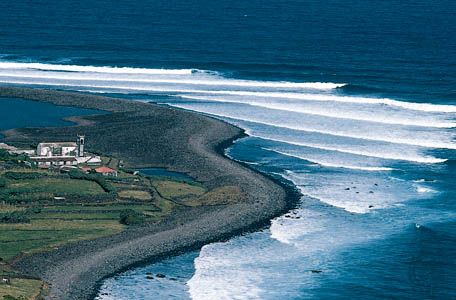
São Miguel Island, the largest island in the Azores archipelago, sustains a diverse economy rooted in both agriculture and the service sector.
What are the main economic activities on São Miguel Island?
São Miguel Island, the largest island in the Azores archipelago, sustains a diverse economy rooted in both agriculture and the service sector.
The island is a significant producer of various agricultural goods, including:
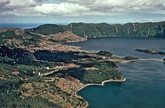
In addition to its agricultural output, the island has developed into a major tourist destination. Its capital, Ponta Delgada, serves as the administrative center for the region, while other areas like Furnas and Sete Cidades function as key resort centers that support the local economy.1
What is the historical significance of São Miguel Island in Portuguese exploration and colonization?
São Miguel Island holds historical significance as a key component of the Azores archipelago, which was visited by Portuguese seamen between 1427 and 1431. At the time of their discovery, the islands were uninhabited, marking them as a blank slate for the expansionist goals of the Portuguese crown.1
In 1439, Prince Henry the Navigator was officially authorized to colonize the Azores, and systematic settlement began around 1445. This colonization was part of a broader national enterprise that combined scientific exploration, the search for a maritime route to the spice trade of the Indies, and the spread of the Christian faith. The islands, including São Miguel, quickly gained economic importance for Portugal through the export of sugar to Europe, serving as a vital precursor to the more extensive colonial efforts in Africa and the Americas.1
Where is São Miguel Island located and what are its key geographical features?
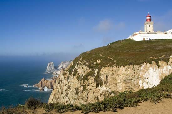
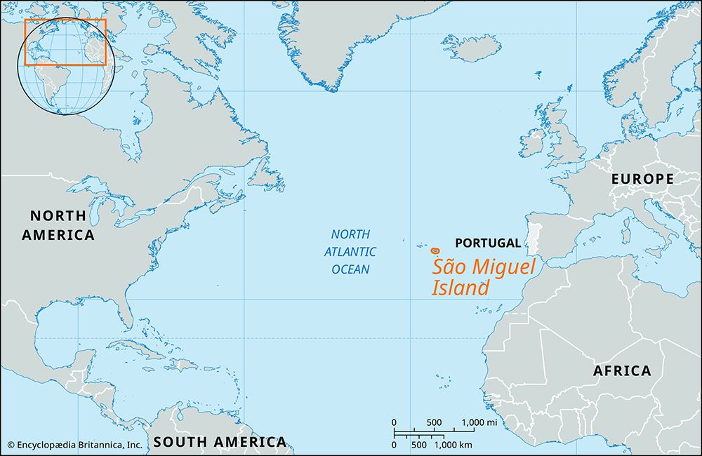
São Miguel Island is the largest island in the Azores archipelago, an autonomous region of Portugal located in the North Atlantic Ocean. It is situated approximately 740 miles (1,190 km) west of Cape Roca on the Portuguese mainland.1
The island features a volcanic origin and spans roughly 40 miles (65 km) in length and 9 miles (15 km) in width, covering an area of 293 square miles (759 square km). Its topography is characterized by mountainous terrain, with its highest point, Vara Peak, reaching an elevation of 3,570 feet (1,105 metres) above sea level.1 Due to its volcanic nature, the island has experienced significant seismic and volcanic activity, including nearly a dozen destructive earthquakes and eruptions since the 15th century. The island’s primary urban center and the capital of the Azores is Ponta Delgada.1
How does the climate of São Miguel Island compare to mainland Portugal?
The climate of São Miguel Island differs from mainland Portugal primarily due to its subtropical nature and the influence of the Azores high-pressure system. While mainland Portugal experiences a mix of Atlantic, continental, and Mediterranean influences—resulting in significant seasonal temperature swings and interior droughts—the Azores are characterized by high humidity and a more subtropical environment.61
On the mainland, climate varies sharply by region; the northwest is mild and rainy, while the interior can experience extreme summer heat and acute winter cold, with temperatures in mountainous areas occasionally dropping to freezing. In contrast, the climate of the Azores is highly variable and often unpredictable. Rainfall in the archipelago is irregular in both its annual total and its regime, meaning islands can experience periods of heavy precipitation exceeding 40 inches (1,000 mm) or suffer from severe drought.61
Sources
- São Miguel Island — Encyclopædia Britannica
- Cabo Verde - Services — Encyclopædia Britannica
- history of Portugal - Conquest and exploration — Encyclopædia Britannica
- São Miguel — Merriam-Webster
- Sao Tome and Principe - Climate — Encyclopædia Britannica
- Portugal - Climate of Portugal — Encyclopædia Britannica
- Azores — Encyclopædia Britannica
Published on · 2 min read