Tapti River
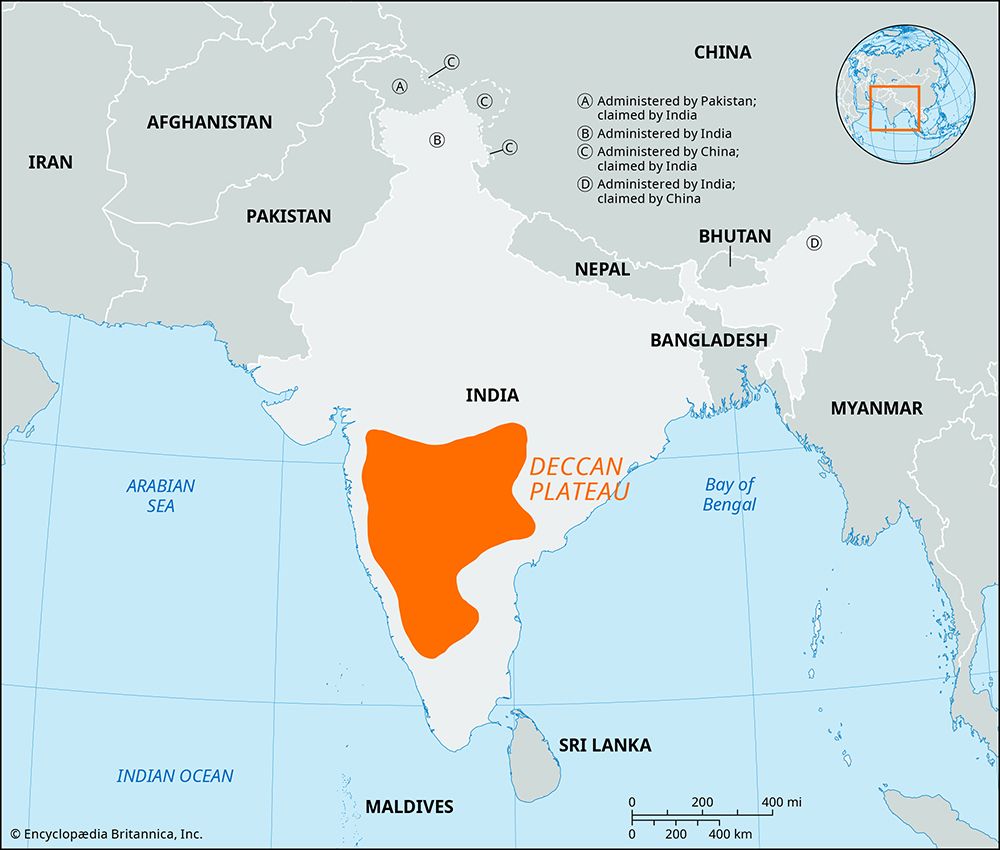
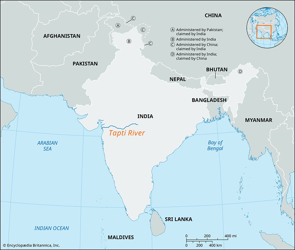
The Tapti River is located in central India. It originates in the Gawilgarh Hills of the central Deccan plateau in Madhya Pradesh. From there, it flows…
Where is the Tapti River located in India, and what are its major tributaries?
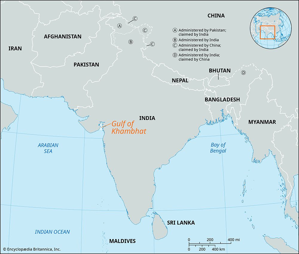
The Tapti River is located in central India. It originates in the Gawilgarh Hills of the central Deccan plateau in Madhya Pradesh. From there, it flows westward between spurs of the Satpura Range, crossing the Jalgaon plateau in Maharashtra and the plains of Surat in Gujarat before emptying into the Gulf of Khambhat.1
The river’s three major tributaries, which flow from the south in Maharashtra state, are:
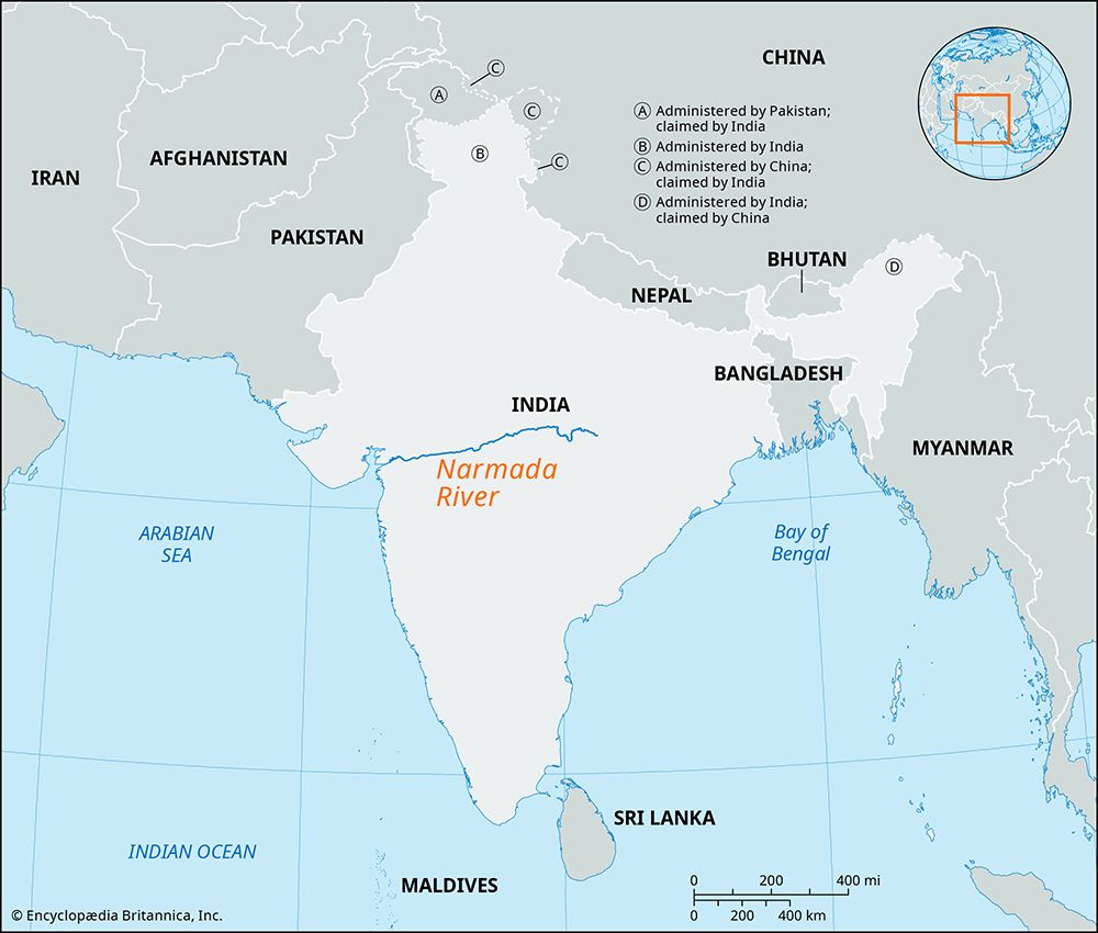
The Tapti flows roughly parallel to the Narmada River, and together these river valleys and the Satpura Range serve as a natural geographic barrier between northern and peninsular India.1
What is the origin of the Tapti River and through which states does it flow?
The Tapti River originates in the Gawilgarh Hills, located on the central Deccan plateau in south-central Madhya Pradesh state.1
Following its source, the river flows westward through three Indian states:
- Madhya Pradesh: Where it rises in the Gawilgarh Hills.1
- Maharashtra: Where it crosses the Jalgaon plateau region.1
- Gujarat: Where it traverses the plain of Surat before emptying into the Gulf of Khambhat.1
The river travels approximately 435 miles (700 km) and serves as a significant geographic feature, acting alongside the Satpura Range and the Narmada River as a natural barrier between northern and peninsular India.1
What is the historical and cultural significance of the Tapti River in Indian civilization?
The Tapti River has played a significant role in Indian history primarily through its function as a gateway for maritime trade and colonial interaction. Located in central India, the river’s mouth at the Gulf of Khambhat served as a vital hub for commerce, most notably through the city of Surat.21
Historically, the river facilitated the rise of Surat as a major emporium, where the export of textiles, gold, and silks established the region as a center of economic activity. The river’s mouth was also the site of the port of Swally Hole, a location of immense importance in Anglo-Portuguese colonial history, where the British established their first trading post in India in 1612.21
Geographically, the Tapti River acts as a natural boundary. Together with the Satpura Range and the Narmada River, it forms a significant barrier separating northern India from the peninsula, influencing the historical movement and cultural development of these regions.1
How does the Tapti River impact the agriculture and economy of the regions it flows through?
The Tapti River plays a vital role in the economic and agricultural framework of the regions through which it flows. Its impact is characterized by the following:
- Agricultural Productivity: The areas surrounding the river, particularly near its mouth in Surat, are intensively cultivated. The fertile land supports the production of key crops, including cotton, millet, pulses, and rice.1
- Industrial and Commercial Hubs: Historically, the river facilitated the growth of Surat as a major emporium. The city became a center for textile manufacturing—producing fine muslin, cottons, silks, and brocades—as well as shipbuilding and the trade of gold and silver.1
- Transportation and Navigation: The river serves as a component of India’s inland navigable waterways. While the final 32 miles are tidal and navigable by small vessels, the river is recognized as a key navigational stretch within the national waterway network, contributing to the movement of cargo.23
While the river has historically supported significant trade, the port at its mouth, Swally Hole, eventually declined due to silting. Today, the region continues to benefit from modern infrastructure, including highways and railways, which complement the river’s historical economic importance.21
Sources
- Tapti River — Encyclopædia Britannica
- Surat — Encyclopædia Britannica
- transportation in India - Waterways — Encyclopædia Britannica
- Madhya Pradesh - Drainage and soils — Encyclopædia Britannica
- Brahmaputra River - Irrigation and flood control — Encyclopædia Britannica
Published on · 3 min read