Mahadeo Hills
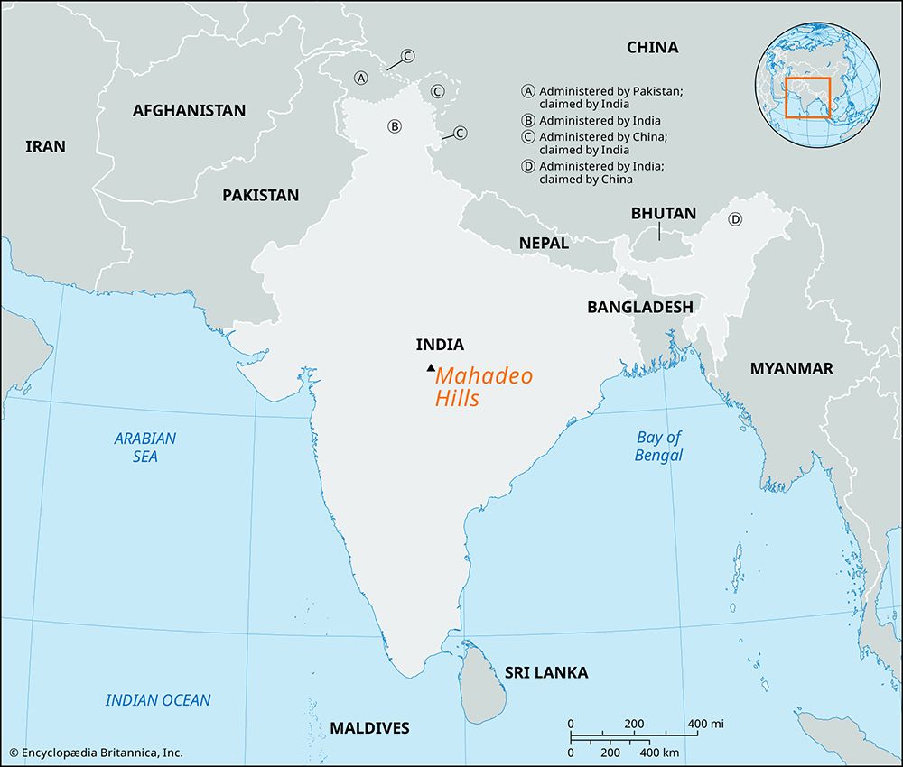
The Mahadeo Hills are a series of sandstone hills situated in the northern section of the Satpura Range within the state of Madhya Pradesh, central India.
What is Mahadeo Hills?
The Mahadeo Hills are a series of sandstone hills situated in the northern section of the Satpura Range within the state of Madhya Pradesh, central India.1
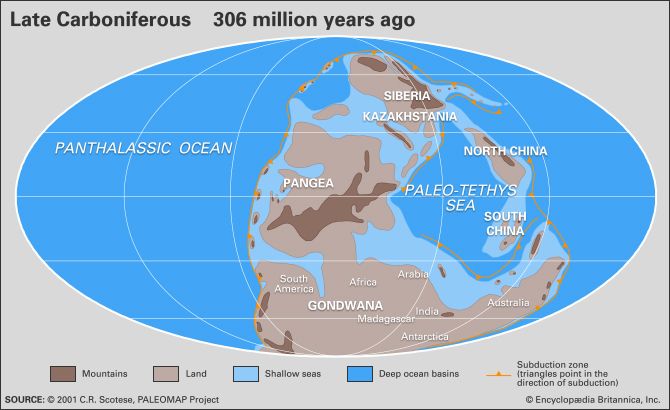
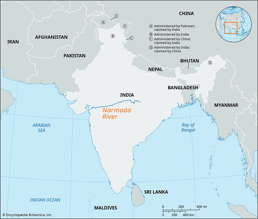
Formed during the Carboniferous Period, these hills are characterized by small plateaus and steep scarps. While they feature a gentle northern slope, the southern side drops sharply from an elevation of 3,600 feet (1,100 metres) to below 900 feet (275 metres). To the north, the Narmada River flows through a wide valley separating the Mahadeo Hills from the Vindhya Range.1
The region is covered by brown soil that supports deciduous forests, making lumbering and charcoal production vital to the local economy, which remains generally underdeveloped.1
What is the significance of the Satpura Range in India?
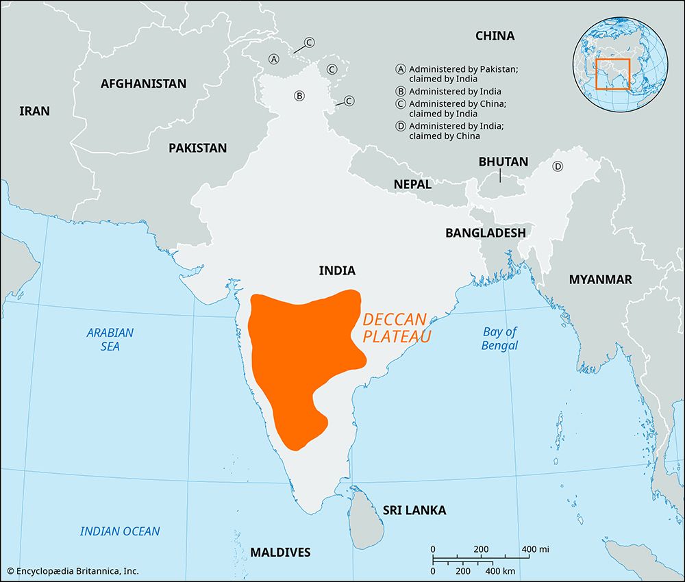
The Satpura Range, whose name translates to “Seven Folds,” is a significant geographical feature in western India that stretches approximately 560 miles (900 km) across the Deccan plateau.2
Its primary significance includes:
- Watershed Function: The range acts as a critical divide, forming the watershed between the Narmada River to the north and the Tapti River to the south.23
- Geographical Diversity: It encompasses several distinct hill systems, including the Mahadeo Hills in the north, the Maikala Range in the east, and the Rajpipla Hills in the west, with peaks exceeding 4,000 feet (1,200 metres).2
- Economic and Natural Resources: While largely underdeveloped, the range contains valuable teak forests in the west and deposits of manganese and coal in its southeastern flanks.2
- Cultural and Agricultural Context: The region supports diverse land use, ranging from agriculture in the river valleys to jhum (shifting) cultivation practiced by the Gond hill tribes in the higher elevations.2
How do deciduous forests adapt to the climate of central India?
Deciduous forests in central India adapt to the region’s distinct monsoon climate, which is characterized by alternating wet and dry seasons rather than the freezing winters seen in temperate regions.45
In central India, these forests are classified as either moist or dry deciduous depending on annual rainfall levels. Their primary adaptation strategy is to shed their leaves to survive periods of moisture stress, particularly during the hot, dry season that typically lasts from March to mid-June. By dropping their foliage, these trees minimize water loss through transpiration when rainfall is scarce.6578
Key adaptations and characteristics include:
- Drought Response: Unlike temperate trees that shed leaves to avoid freezing, deciduous species in India, such as teak and sal, lose their leaves to conserve moisture during the prolonged dry months.86
- Resource Management: The shedding process is a controlled biological response that allows the plant to enter a state of dormancy, preserving energy until the arrival of the southwest monsoon in June.58
- Species Diversity: The specific composition of these forests is largely determined by precipitation, with dry deciduous forests thriving in areas receiving less than 60 inches (1,500 mm) of rain, such as Madhya Pradesh.46
What role does the Narmada River play in the region’s geography?
The Narmada River is a major geographical artery in central India, playing a vital role in the region’s physical and economic landscape.
Physical Geography
The river flows westward for approximately 800 miles (1,300 km), rising in the Maikala Range and eventually emptying into the Gulf of Khambhat via a wide estuary. A defining feature of its course is the structural trough it occupies between the Vindhya Range to the north and the Satpura Range to the south. This Narmada-Son trough creates a continuous depression that serves as a significant divide in the Indian landscape.1011
Economic and Developmental Significance
The river is a critical water resource used for hydroelectric power generation and irrigation across multiple states, including Madhya Pradesh, Gujarat, and Maharashtra. Major infrastructure projects, such as the Sardar Sarovar Dam, have been developed to provide electricity and water to drought-prone areas, though these projects have also been the subject of significant social and environmental debate regarding displacement and rehabilitation.10
Sources
- Mahadeo Hills — Encyclopædia Britannica
- Satpura Range — Encyclopædia Britannica
- Satpura Range — Merriam-Webster
- Temperate forest - Environment — Encyclopædia Britannica
- Madhya Pradesh - Climate — Encyclopædia Britannica
- climate of India - The monsoons — Encyclopædia Britannica
- Indian monsoon - Monsoon withdrawal — Encyclopædia Britannica
- Why Do Leaves Fall in Autumn? — Encyclopædia Britannica
- India - Vegetation — Encyclopædia Britannica
- Narmada River — Encyclopædia Britannica
- Vindhya Range — Encyclopædia Britannica
- India - Inland regions — Encyclopædia Britannica
Published on · 3 min read