Arabian Basin
The term "Arabian Basin" can refer to two distinct geographical and geological features:
What is Arabian Basin?
The term “Arabian Basin” can refer to two distinct geographical and geological features:
The Submarine Arabian Basin
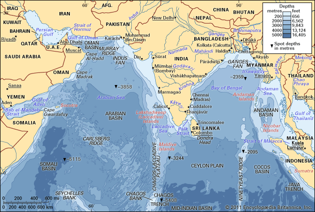
The Arabian Basin is a submarine basin located in the southern Arabian Sea. It is bounded by the Arabian Peninsula to the west, Iran to the north, and India and Pakistan to the northeast. It reaches a maximum depth of 19,275 feet (5,875 meters) and is separated from the deeper Somali Basin by the Carlsberg Ridge. Much of its floor is covered by sediment deposited by the Indus River, forming a large alluvial fan known as the Indus Cone.1
The Sedimentary Basin of Arabia
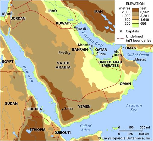
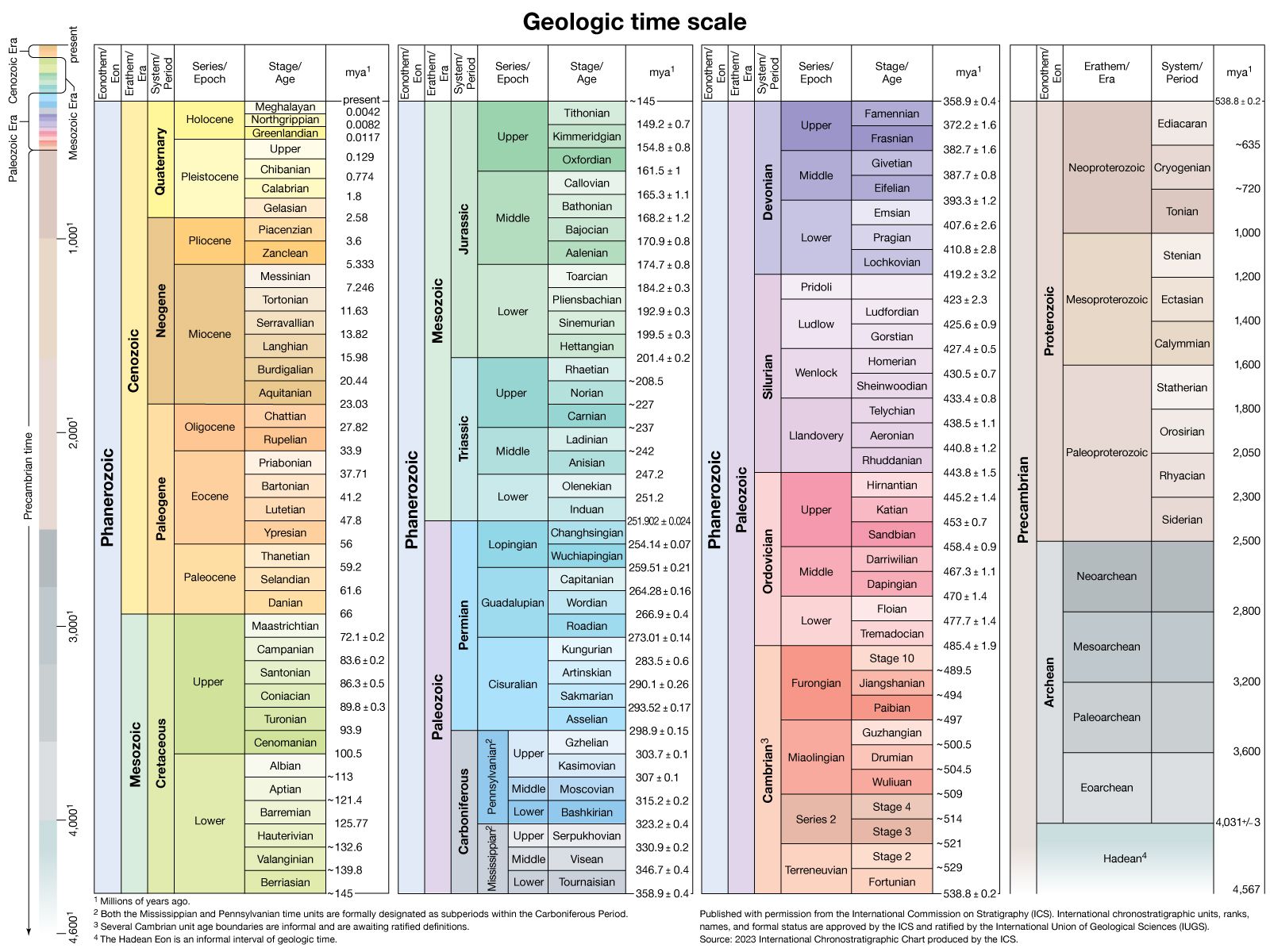
In a geological context, the term often refers to the vast sedimentary basin extending across eastern Arabia, Iraq, and the Persian Gulf. This region contains the world’s largest oil reserves, with deposits formed within sedimentary rock layers over the past 541 million years.234
How does the Indus River affect the seafloor of the Arabian Basin?
The Indus River significantly shapes the seafloor of the Arabian Basin through the transport and deposition of massive quantities of sediment.62
The river has carved a deep submarine canyon that serves as a conduit for land-derived materials reaching the deep sea. These sediments accumulate to form the Indus Cone, a vast alluvial fan that measures approximately 535 miles (860 km) wide and 930 miles (1,500 km) long. This cone, along with an associated abyssal plain, covers much of the northeastern floor of the Arabian Sea.6
The impact of this sediment deposition is most pronounced in the northern reaches of the basin, where sediment thickness can reach up to 8,200 feet (2,500 meters), gradually thinning to about 1,600 feet (500 meters) toward the south. Consequently, the Indus River is the primary architect of the basin’s sedimentary landscape, effectively burying the underlying seafloor across a significant portion of the region.62
What is the difference between the Arabian Basin and the Arabian Shield?
The Arabian Shield and the Arabian Basin are distinct geological and geographical features.
The Arabian Shield
Located in the west, the Arabian Shield is an ancient, stable platform composed primarily of Precambrian gneiss and other crystalline rocks formed between 900 and 541 million years ago. It serves as the structural foundation of the Arabian Peninsula, characterized by high mountains along the Red Sea margin and broad lava beds (ḥārrahs) resulting from past volcanic activity.32
The Arabian Basin
The term “Arabian Basin” typically refers to a large submarine feature in the southern Arabian Sea. This deep-sea basin, reaching depths of over 19,000 feet, is defined by its sedimentary floor, which is largely covered by the Indus Cone—a massive alluvial fan created by sediment from the Indus River.1
In a broader geological context, the term can also describe the vast sedimentary region extending east of the shield, where younger sedimentary rock layers contain the world’s most significant petroleum reserves.32
How do tectonic plate movements create mountain ranges like the Zagros?
The Zagros Mountains were primarily formed through the collision of the Arabian Plate with the Eurasian Plate, a process that occurred during the Miocene and Pliocene epochs.10
This mountain-building episode, or orogeny, is driven by north–south crustal shortening as the Arabian Peninsula penetrates into Iran and Turkey. A key factor in the formation of the Zagros is the presence of thick layers of salt within the sedimentary rock of the Arabian shield. These salt layers act as a lubricant, allowing the overlying sedimentary strata to detach and fold, which has created a particularly well-developed fold and thrust belt.11
As a result of this continent-continent collision, the range is characterized by its sedimentary composition, primarily limestone and shale. Unlike mountain ranges formed by subduction, volcanic activity is rarely a part of the topography in this type of collision-based orogenesis.1012
Sources
- Arabian Desert - Geology of the Arabian Desert — Encyclopædia Britannica
- Arabian Basin — Encyclopædia Britannica
- Arabia - Geology — Encyclopædia Britannica
- Arabia - Economy of Arabia — Encyclopædia Britannica
- Asia - Paleozoic events in the continental nuclei — Encyclopædia Britannica
- Arabian Sea - Submarine morphology and geology — Encyclopædia Britannica
- ocean basin - Sedimentation patterns — Encyclopædia Britannica
- river - Sedimentation in estuaries — Encyclopædia Britannica
- India - Drainage into the Arabian Sea — Encyclopædia Britannica
- Zagros Mountains — Encyclopædia Britannica
- mountain - The Zagros and Bitlis mountains — Encyclopædia Britannica
- plate tectonics - Mountain building — Encyclopædia Britannica
- continental landform - Orogenic geomorphic systems — Encyclopædia Britannica
Published on · 3 min read