Central Region Plateau
The Central Region Plateau is the largest continuous tableland in Malawi, covering an area of approximately 9,000 square miles (23,310 square km).
What is the geographical location and extent of the Central Region Plateau in Malawi?
The Central Region Plateau is the largest continuous tableland in Malawi, covering an area of approximately 9,000 square miles (23,310 square km).1
Geographical Boundaries
The plateau is defined by the following borders:
- North: Viphya Mountains and Chimaliro Hills.1
- East: The Great Rift Valley.1
- West: The Dwangwa River.1
- South: The Dzalanyama and Kirk ranges.1
Topography and Features
The region features a gently undulating surface with elevations typically ranging from 2,500 to 4,500 feet (760 to 1,400 meters), though some hills in the west-central area reach heights of 4,700 to 5,000 feet (1,430 to 1,500 meters). The landscape is traversed by the Bua, Lilongwe, and Dwangwa rivers, which flow in an east-northeast direction. While much of the plateau consists of sandy soils supporting grasslands, the fertile clays near Lilongwe are significant for tobacco production.12
What are the major economic activities and land uses on the Central Region Plateau?
The Central Region Plateau is a vital agricultural hub for Malawi, characterized by distinct land use patterns dictated by soil quality and water availability.
Agricultural Activities
- Tobacco Production: The plateau is the primary region for tobacco cultivation, which serves as Malawi’s most important export crop. This industry is supported by both large-scale estates and smallholder farmers.14
- Food Crops: Beyond tobacco, smallholders across the plateau grow essential food crops, including corn (maize), beans, peas, peanuts (groundnuts), cassava, and sweet potatoes.4
- Livestock: Farmers in the region also raise livestock, including cattle, goats, sheep, pigs, and chickens.4
Land Use and Settlement
- Fertile vs. Sandy Soils: While much of the plateau consists of poor, sandy soils that support only sparse agricultural populations and grasslands, the fertile clay areas—particularly surrounding Lilongwe—are highly productive.1
- Settlement Patterns: Rural villages, or mudzi, are typically organized around extended families and are often situated at the margins of madambo (bogs or wetlands) where fertile alluvial soils and water are accessible.5
- Industrial Impact: The tobacco industry has significantly influenced land use, as forests are frequently cleared to provide timber for curing sheds and firewood for the curing process itself. Additionally, the region has been a focus for government-led rural development programs aimed at improving infrastructure and crop yields.463
What is the average elevation of the Central Region Plateau, and how does it compare to other plateaus in Africa?
The Central Region Plateau in Malawi features a gently undulating surface with an average elevation typically ranging from 2,500 to 4,500 feet (760 to 1,370 meters) above sea level, with some hills in the west-central area reaching between 4,700 and 5,000 feet (1,430 to 1,500 meters).17
When compared to other African plateaus, its elevation is relatively moderate:
- Highveld: Located in Southern Africa, this plateau generally lies between 4,000 and 6,000 feet (1,200 to 1,800 meters), placing it at a higher average altitude than the Central Region Plateau.82
- Middleveld: Found in parts of South Africa, Namibia, and Zimbabwe, this region typically sits between 2,000 and 4,000 feet (600 to 1,200 meters), which is comparable to the lower range of Malawi’s plateau.8
- Ethiopian Highlands: These are significantly higher, with parts of the region exceeding 15,000 feet (4,500 meters).910
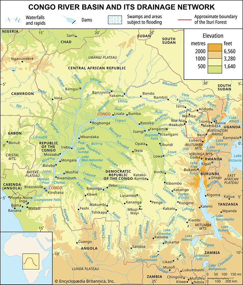
- Congo Basin: This vast rolling plain is considerably lower, with an average elevation of about 1,700 feet (520 meters).11
How has the Central Region Plateau influenced the settlement patterns and cultural practices of the local population?
The Central Region Plateau has profoundly shaped the settlement patterns and daily life of the population in Malawi. Because the plateau supports the majority of the country’s inhabitants, its geography dictates where and how people live.1
Settlement Patterns
Rural settlements, known as mudzi, are typically small and organized around the extended family. The placement of these villages is heavily influenced by the availability of water and arable land. On the plateau, villages are most commonly situated at the margins of madambo—bogs or wetlands contiguous with streams and rivers—which provide the fertile alluvial soils necessary for agriculture. In more rugged highland areas, settlements are scattered near perennial mountain streams and pockets of cultivable land.15
Cultural and Economic Practices
The plateau’s environment has fostered a lifestyle deeply rooted in agriculture. While much of the region consists of sandy soils that support only sparse populations, the fertile clay areas—particularly around Lilongwe—have become hubs for tobacco production, which is central to the local economy.512
Traditional architecture is currently undergoing a transition; the classic round, mud-walled, grass-roofed hut is increasingly being replaced by rectangular brick buildings with corrugated iron roofs. Furthermore, the reliance on wood for fuel and the demands of the tobacco industry have significantly impacted the landscape, leading to the clearing of forests for firewood and timber for curing sheds.112
Sources
- Central Region Plateau — Encyclopædia Britannica
- Malawi - Relief — Encyclopædia Britannica
- Lilongwe — Encyclopædia Britannica
- Malawi - Economy — Encyclopædia Britannica
- Malawi - Settlement patterns — Encyclopædia Britannica
- Malawi - Agriculture, forestry, and fishing — Encyclopædia Britannica
- Exploring 7 of Earth’s Great Mountain Ranges - Ethiopian Highlands — Encyclopædia Britannica
- veld - Physiography — Encyclopædia Britannica
- South Africa - Relief of South Africa — Encyclopædia Britannica
- Africa - Relief — Encyclopædia Britannica
- Democratic Republic of the Congo - Relief — Encyclopædia Britannica
- Nigeria - Rural settlement — Encyclopædia Britannica
- Lake Chad - Agriculture and forestry — Encyclopædia Britannica
- Plateau Indian - Political organization — Encyclopædia Britannica
- Plateau Indian - Trade and interaction — Encyclopædia Britannica
- Plateau Indian - Settlement patterns and housing — Encyclopædia Britannica
Published on · 4 min read