Chao Phraya River
The Chao Phraya River is the principal river of Thailand, flowing south through the nation’s fertile central plain for more than 225 miles before emptying…
Where is the Chao Phraya River located in Thailand, and what are its major tributaries?
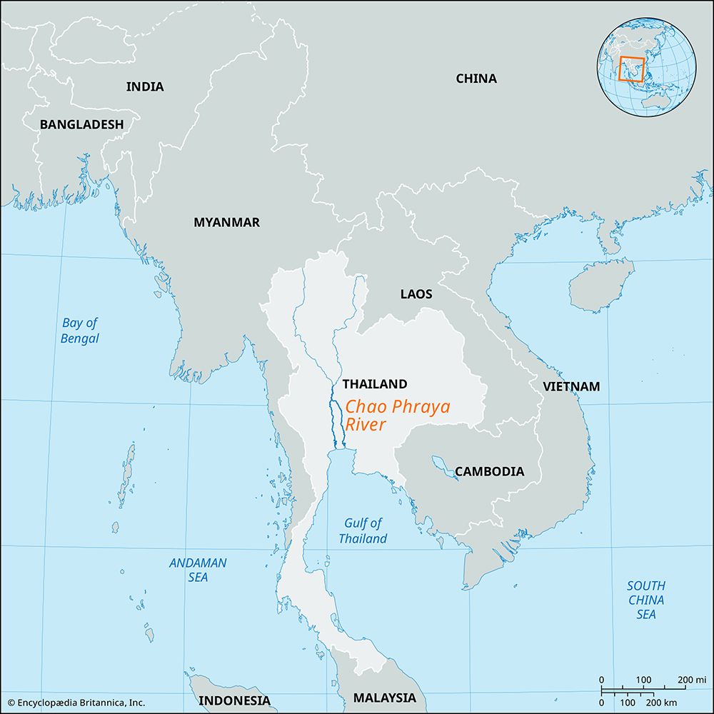
The Chao Phraya River is the principal river of Thailand, flowing south through the nation’s fertile central plain for more than 225 miles before emptying into the Gulf of Thailand.1
The river is formed at Nakhon Sawan by the confluence of its major headstreams, which originate in the mountains of northern Thailand. These primary tributaries are:1
- Ping River: One of the main headstreams, which itself receives the Wang River as a tributary.21
- Wang River: A tributary of the Ping River.21
- Yom River: A headstream that joins the system to help form the Chao Phraya.21
- Nan River: A headstream that converges with the Ping and Yom rivers.21
- Pa Sak River: A significant eastern tributary that flows from the Phetchabun Mountains and joins the system near Phra Nakhon Si Ayutthaya.1
What are some of the main economic activities and industries that depend on the Chao Phraya River?
The Chao Phraya River is central to Thailand’s economy, serving as a vital resource for several key industries and activities:
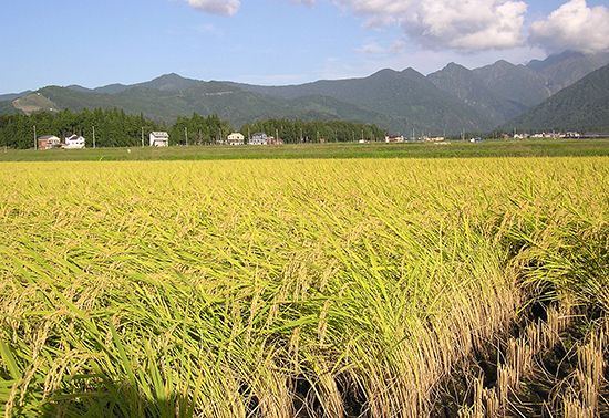
- Agriculture: The river and its extensive canal (khlong) system are the foundation of major irrigation projects. The annual flooding of the delta provides rich alluvium, which is essential for rice cultivation.23
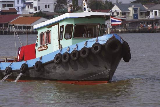
- Transportation and Trade: Historically, the river has been a primary waterway for transporting traditional exports like teak and rice to Bangkok2. Today, the port of Bangkok at Khlong Toei remains a critical hub, handling nearly all of the nation’s imports and exports. The river’s lower course is lined with wharves and harbor installations, though it requires frequent dredging to maintain access for shipping.42
- Energy Production: The development of dams along the river system, particularly since the mid-20th century, has significantly increased the production of hydroelectric power and improved flood control for agricultural regions.23
- Fisheries and Water Supply: The river serves as a long-standing source of water for local communities and supports fishing activities.2
How has the Chao Phraya River influenced the development of Bangkok and other cities along its banks?
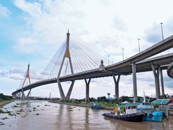
The Chao Phraya River has been the fundamental artery for urban development in Thailand for centuries. Its basin, characterized by a fertile delta, has served as the political, cultural, and economic core of the nation, with capitals—including the former center of Ayutthaya and the present-day capital, Bangkok—situated directly on its banks or those of its tributaries.25
Influence on Urban Development
- Strategic Defense and Settlement: Cities like Ayutthaya and Bangkok were established with the river as a natural defensive feature. When Rama I founded Bangkok in 1782, he utilized the river’s wide westward bend as a protective moat, while the surrounding swampy delta acted as a barrier to eastern approaches.6
- Transportation and Infrastructure: Historically, the river and its extensive network of canals (khlong) functioned as the primary roadways for trade and daily life, earning Bangkok the moniker “Venice of the East.” As the city modernized, these waterways influenced the layout of roads and bridges; for instance, major highways were often constructed atop filled-in canals or alongside riverfront routes.67
- Resource Management: The river provides essential water for urban consumption and sanitation. However, reliance on the river and deep wells has led to challenges, including subsidence and increased flooding, as the city’s growth has necessitated complex public utility management.78
How does the Chao Phraya River affect Thailand’s agriculture, particularly rice cultivation?
The Chao Phraya River is the cornerstone of Thailand’s agricultural sector, particularly for rice cultivation. Its influence is primarily driven by the following factors:
- Fertile Alluvium: The river’s delta floodplain is composed of rich alluvial deposits. These soils are replenished annually by sediment washed down from the northern mountains during the monsoon season, providing the essential nutrients required for high-yield rice farming.210
- Controlled Flooding: The annual flooding of the flat delta during the wet season is a significant asset to rice production. While these floods provide natural irrigation, the government has also implemented extensive irrigation schemes, such as the dam at Chai Nat, to manage water levels and expand the areas suitable for cultivation.23
- Water Management Infrastructure: Beyond natural flooding, the river system—including its network of canals (khlong)—serves as a vital source of water for irrigation in areas that lie on the higher edges of the plain. The construction of dams since the mid-20th century has further stabilized water supplies, allowing for more consistent agricultural output.23
Sources
- Ping River — Encyclopædia Britannica
- Chao Phraya River — Encyclopædia Britannica
- Thailand - Drainage of Thailand — Encyclopædia Britannica
- Bangkok - Transportation — Encyclopædia Britannica
- Bangkok - History of Bangkok — Encyclopædia Britannica
- Thailand - The Ayutthayan period, 1351–1767 — Encyclopædia Britannica
- Thailand - Rural settlement — Encyclopædia Britannica
- Thailand - Centre — Encyclopædia Britannica
- Bangkok - Public utilities — Encyclopædia Britannica
- Thailand - Soils — Encyclopædia Britannica
Published on · 4 min read