Cordillera De Vilcabamba
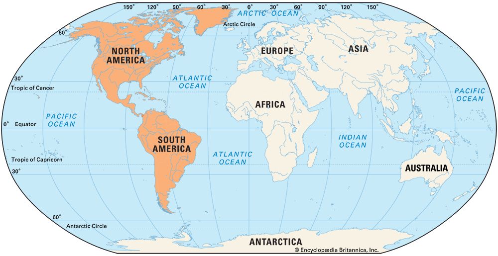
The Cordillera de Vilcabamba is a small mountain range within the Andes Mountains located in south-central Peru. Extending approximately 160 miles (260 km)…
What is Cordillera de Vilcabamba?
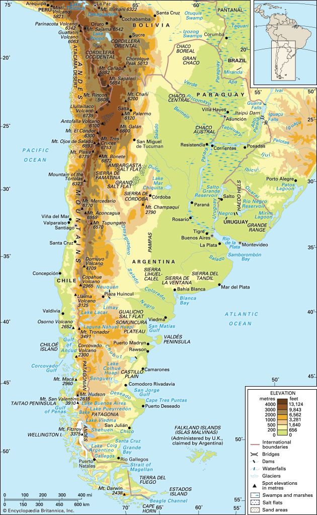
The Cordillera de Vilcabamba is a small mountain range within the Andes Mountains located in south-central Peru. Extending approximately 160 miles (260 km) northwest of the city of Cuzco, the range is characterized by deep canyons carved by the erosive action of rivers. Its highest point is Mount Salccantay, which reaches an elevation of 20,574 feet (6,271 metres).12
The region is historically significant as the site of Machu Picchu and other extensive ruins. During the 16th century, it served as the final refuge for the Inca people as they fled from Spanish conquistadors. One of the range’s notable features is the Pumasillo massif, which was not accurately mapped until 1956 due to its isolated location.13
How did the geography of the Vilcabamba region help the Incas hide from the Spanish?
The geography of the Cordillera de Vilcabamba provided a formidable natural sanctuary for the Inca people during the 16th-century Spanish conquest. The region’s rugged terrain, characterized by deep canyons carved by river erosion, created significant physical barriers that hindered the movement and pursuit of Spanish forces.14
The area’s extreme isolation was a key factor in its effectiveness as a refuge. For instance, the Pumasillo massif—a prominent feature of the range—is so secluded that it is not visible from surrounding villages and remained unmapped until 1956. This difficult, mountainous landscape allowed the Incas to maintain a hidden, independent base of operations, such as Machu Picchu, while they resisted the encroaching colonial power. By utilizing these remote, high-altitude environments, the Incas were able to evade capture and sustain their resistance for decades following the initial 1532 invasion.12
What are some other famous archaeological sites in Peru besides Machu Picchu?
Peru is home to a vast array of significant archaeological sites that reflect its rich pre-Hispanic history. Beyond Machu Picchu, some of the most notable include:
- Chan Chan: Located near Trujillo, this was the capital of the Chimú kingdom and remains the largest pre-Columbian city in the Americas. It is famous for its massive adobe structures and intricate relief carvings.67
- Nazca Lines: These enigmatic geoglyphs in southern Peru consist of giant drawings of animals, plants, and geometric shapes etched into the desert floor over 1,500 years ago.68
- Sacsayhuamán: A massive Inca fortress overlooking Cuzco, renowned for its enormous, mortarless stone walls that have withstood centuries of earthquakes.9
- Chavín de Huántar: An impressive temple complex in the Andes that served as the center of the Chavín culture between 900 and 200 BCE.610
- Caral: Situated in the Supe River valley, this site is recognized as the oldest center of civilization in the Americas, featuring pyramids and amphitheaters dating back to 3000–2000 BCE.6
How do mountain ranges like the Andes influence the climate of the surrounding areas?
Mountain ranges like the Andes exert a profound influence on regional climates by acting as physical barriers to atmospheric circulation and creating diverse vertical environments.
Atmospheric Barriers and Precipitation
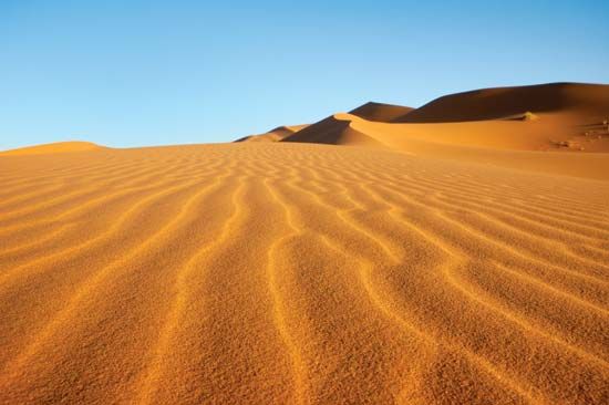
Mountains significantly alter precipitation patterns through the orographic effect. As moist air masses are forced to rise over mountain slopes, they cool and release their moisture as precipitation on the windward side. Conversely, the air that descends on the leeward side is dry, creating a rain shadow that often results in arid or semiarid conditions, such as the Patagonia region or the Atacama Desert.111213
Furthermore, north-south oriented ranges like the Andes act as massive barriers to mid-latitude westerly winds. By blocking the movement of air masses, they prevent cold air from the continental interior from moving westward, which helps maintain milder weather along western coasts compared to continental interiors.13
Vertical Climatic Zones
Altitude creates distinct vertical climatic zones, where temperature, pressure, and humidity decrease with height. In the Andes, this results in a transition from warm, humid conditions at the foothills (tierra caliente) to temperate mid-levels, cool highlands (tierra fría), and finally freezing glacial summits (tierra helada). This diversity allows for a wide range of microclimates over short horizontal distances, which significantly influences local vegetation, animal life, and agricultural potential.111412
Sources
- Cordillera de Vilcabamba — Encyclopædia Britannica
- Andes Mountains - Physiography of the Central Andes — Encyclopædia Britannica
- history of Peru - Colonial period in Peru — Encyclopædia Britannica
- Andean peoples — Encyclopædia Britannica
- Pre-Columbian civilizations - The cold as a resource — Encyclopædia Britannica
- Peru - Cultural institutions — Encyclopædia Britannica
- Chavín de Huántar — Encyclopædia Britannica
- Sacsayhuamán — Encyclopædia Britannica
- Nazca Lines — Encyclopædia Britannica
- Chan Chan — Encyclopædia Britannica
- South America - Factors influencing climate — Encyclopædia Britannica
- Amazon River - Climate — Encyclopædia Britannica
- Andes Mountains - Plant and animal life — Encyclopædia Britannica
- Highland climate — Encyclopædia Britannica
- Atmosphere - Mountain barriers — Encyclopædia Britannica
Published on · 3 min read