Cuanza River
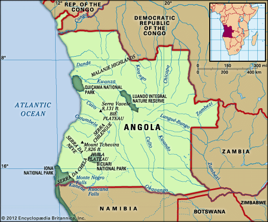
The Cuanza River is located in central Angola and holds the distinction of being the largest river situated entirely within the country's borders.
Where is the Cuanza River located in Angola, and what are its major geographical features?
The Cuanza River is located in central Angola and holds the distinction of being the largest river situated entirely within the country’s borders.12
Geographical Features
The river originates on the Bié Plateau, approximately 50 miles southeast of Chitembo, at an elevation of 5,000 feet. Its course spans roughly 600 to 620 miles, flowing northward for about half its length before curving westward through a break in the escarpment between the Malanje highlands and the Bié Plateau. It eventually empties into the Atlantic Ocean south of Luanda.12
Key features include:
- Topography: The river flows through a well-defined valley and is characterized by frequent rapids along its upper and middle sections.1
- Navigation: Below the Cambambe falls, the river is navigable by small steamers for about 160 miles, though usage is limited by seasonal shallowness and a shifting sandbar at its mouth.1
- Economic Infrastructure: The Cambambe Dam provides essential hydroelectric power to Luanda and supports irrigation in the lower valley.1
How does the Cuanza River impact Angola’s economy and agriculture?
The Cuanza River is the only river in Angola of significant economic importance, primarily due to its role in energy production and agricultural support.1
Economic and Agricultural Impact
- Energy Generation: The Cambambe Dam, constructed on the river in 1963, is a critical piece of infrastructure. It supplies essential electricity to the capital city of Luanda, supporting its industrial and commercial sectors.13
- Agricultural Irrigation: The river provides vital irrigation water for the Cuanza valley, particularly in its lower course, which facilitates the cultivation of regional agricultural products.1
- Transportation Limitations: While the river is navigable by small steamers for approximately 140 to 160 miles below the Cambambe falls, it is underutilized for commercial transport. Its utility is restricted by seasonal shallowness during the dry season and a shifting sandbar at its mouth. Furthermore, much of the river’s basin is already served by the Luanda-Malanje railway, reducing the necessity for river-based freight.12
What is the length of the Cuanza River and how does it compare to other major rivers in Africa?
The Cuanza River has a length of approximately 600 to 620 miles (960 to 1,000 km). It holds the distinction of being the longest river situated entirely within the borders of Angola.152
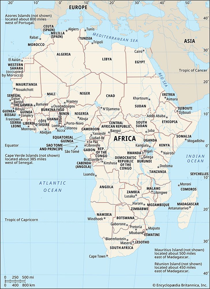
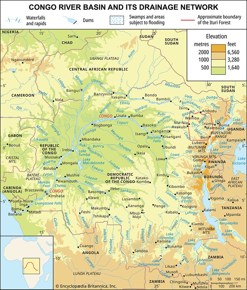
When compared to the continent’s major waterways, the Cuanza is significantly smaller. For context, the Nile River—the longest river in Africa—stretches about 4,132 miles (6,650 km), while the Congo River, the continent’s second-longest, spans approximately 2,900 miles (4,700 km).6
While the Cuanza is the most economically significant river within Angola, it does not rank among the primary continental river systems in terms of length or discharge volume. Its course is characterized by a well-defined valley and frequent rapids, contrasting with the vast, navigable networks formed by larger African rivers like the Congo.156
What are some of the main cities or settlements along the Cuanza River?
While the Cuanza River basin is a vital economic corridor for Angola, it is characterized more by its industrial infrastructure and agricultural utility than by a dense network of major urban centers along its banks.
Key locations associated with the river include:
- Luanda: Although the capital city is located on the Atlantic coast, it is situated approximately 30 to 40 miles north of the river’s mouth. The Cuanza is essential to the city’s development, as the Cambambe Dam, located about 110 miles southeast of the capital, provides critical electricity to support Luanda’s industrial and commercial sectors.12
- Malanje: While not directly on the river, the city of Malanje is a significant regional hub connected to the river’s basin via the Luanda-Malanje railway. This rail line serves much of the river’s basin, facilitating the transport of goods and reducing the reliance on the river for commercial shipping.12
- Chitembo: The river rises in the highlands near Chitembo on the Bié Plateau, marking the beginning of its course through central Angola.13
Sources
- Cuanza River — Encyclopædia Britannica
- Angola - Drainage — Encyclopædia Britannica
- Angola - Ports — Encyclopædia Britannica
- Luanda — Encyclopædia Britannica
- 8 Amazing Physical Features of Africa — Encyclopædia Britannica
- Cunene River — Encyclopædia Britannica
- Cuanza — Merriam-Webster
Published on · 3 min read